Visible and NIR zones are designed to study the characteristics of snow cover, water, vegetation and the degree of oxidation of the surface of objects.
Zone mid-IR range is optimal for the recognition of minerals, especially of hydrated minerals in the clay soils. Zones of thermal range are designed to record the temperature of the earth's surface and decrypt the main types of rocks.
In addition to multi-zoning, the distinctive feature of the ASTER radiometer is the ability to perform stereo photography. The ASTER stereo system consists of 2 lenses, one of which shoots in Nadir and the other with deviation of 27.60, which provides stereo shooting with a base ratio of 0.6 in the near IR range.
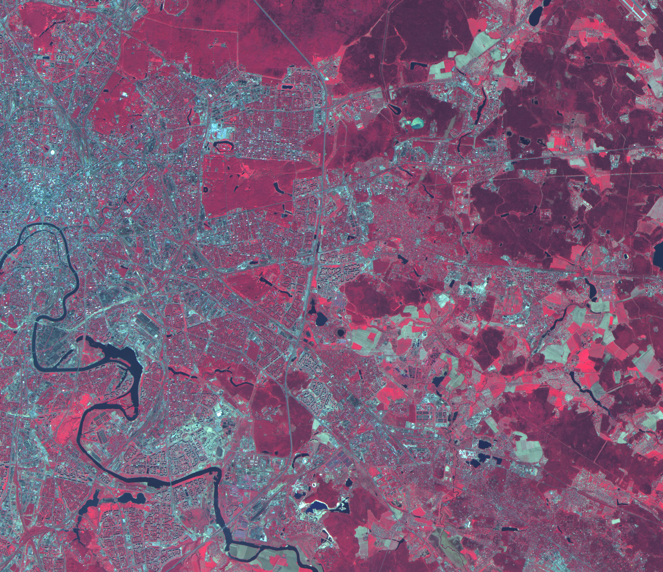
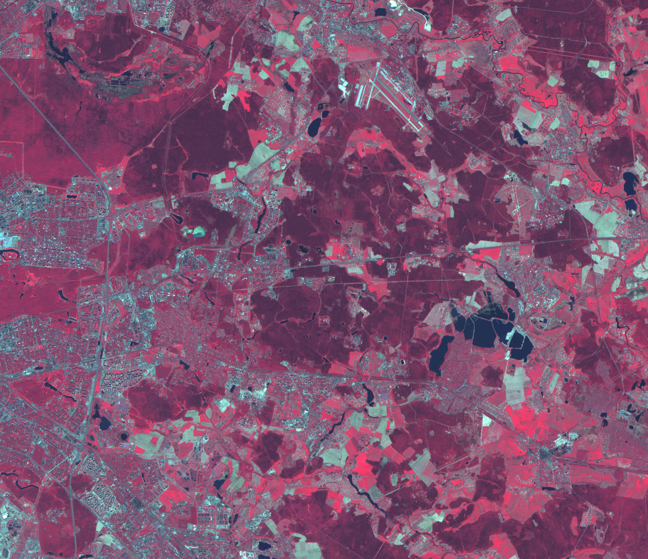
The main areas of using ASTER images are: studies of global ecosystem changes; monitoring of natural disasters; geological, soil, climatological, hydrological studies; study of changes in vegetation cover.
ASTER images make it possible to conduct General zoning of territories and identify areas of soil and vegetation change, areas of flooding and drainage, the boundaries of erosion and other hazardous areas. The using of ASTER and Landsat-8 images is enough for routine monitoring to assess the General state of the situation on the routes of oil and gas pipelines and CPC facilities. For a detailed assessment of the negative social, technological and natural processes in the CPC area of responsibility, it is necessary to use higher-resolution space images.
Benefits of ASTER images:
- monitoring of agricultural crops.
- inventory of agricultural land, creation of land use plans, precision agriculture.
- monitoring of emergency situations.
- inventory and assessment of forest condition.
- wide range of tasks in the field of environmental protection.
These advantages make ASTER a valuable and in many cases indispensable data source for educational institutions, low-budget and pilot projects.
Since 25.01.2006 ASTER data became paid and the company "Innoter" offers these images in addition to the images of Landsat-8, which have a more complete and systematic coverage. Since 2008, SWIR has been out of order.
Specifications of the spacecraft Terra (ASTER)
| Name of the spacecraft | Terra(EOS-AM-1) |
|---|---|
| Country | USA |
| Developer | Lockheed Martin |
| Operator | NASA |
| Launch vehicle | Atlas-2AS |
| Launch date | 18.12.1999 |
|
Orbit: height, km inclination, degree |
Solar-synchronous 705 98.3 |
|
Platform: shooting equipment the angles of deflection, deg |
– ASTER, CERES, MISR, MODIS, MOPITT ±8.55-24 |
| Period of active existence, years | 5 |
| Follow-up period, day | 16 |
| Mass of spacecraft, kg | 5190 |
Technical characteristics of Aster shooting equipment:
| Name of the imaging system | VNIR, SWIR, TIR |
| Spectral ranges, microns |
Channel 1 (0.52-0.60) Channel 2 (0.63-0.69) Channel 3 (0.76-0.86) Nadir Channel 3 (0.63-0.69) Channel 4 (1.60-1.70) Channel 5 (2.145-2.185) Channel 6 (2.185-2.225) Channel 7 (2.235-2.285) Channel 8 (2.295-2.365) Channel 9 (2.360-2.430) Channel 10 (8.125-8.475) Channel 11 (8.475-8.825) Channel 12 (8.925-9.275) Channel 13 (10.25-10.95) Channel 14 (10.95-11.65) |
| Dynamic range, bit |
8 for VNIR and SWIR, 11 for TIR |
| Terrain resolution VNIR, m | 15 |
| SWIR, m | 30 |
| TIR, m | 90 |
| Period of active existence, years | 5 |
| Of swath width, km | 60 |
| Data transfer rate, Mbit/sec | 62 |
For preliminary calculation of the cost of covering the territory you need with space images from the Terra ASTER satellite, send the terms of reference or the coordinates of the site to e-mail: innoter@innoter.com we will be glad to answer your questions by phone: +7 (495) 245-04-24