Operation mode:
Mon-Fri: 10:00 - 18:00
Sat-Sun: Non-working days
Customer
Company engaged in the development of environmental pollution monitoring projects
Project's objective
Delivery of remote sensing data from the Pleiades spacecraft to the customer’s territory (Leningrad region) in order to establish the boundaries of water protection zones and coastal protective strips of the riverWork description
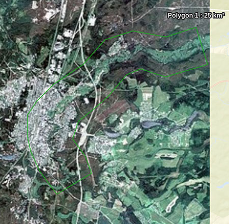
Within the framework of the project, the staff of Innoter LLC reviewed, compiled, and delivered digital information to the necessary territory of the Leningrad Region, from the Pleiades satellite. The spatial resolution of the received images is 0.5 m in nadir. Processing Level: Primary.

The layout of the area, Leningrad region, 25 000 sq. km
Results
The obtained data from the Pleiades satellite allowed the customer to use in order to establish the boundaries of water protection zones and coastal protective belts of the river and to assess the ecological situation of the reservoir in the area of the town of Luga.Need for consultation?
Fill the form and we will contact you
