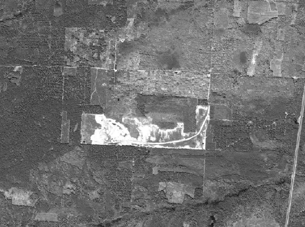
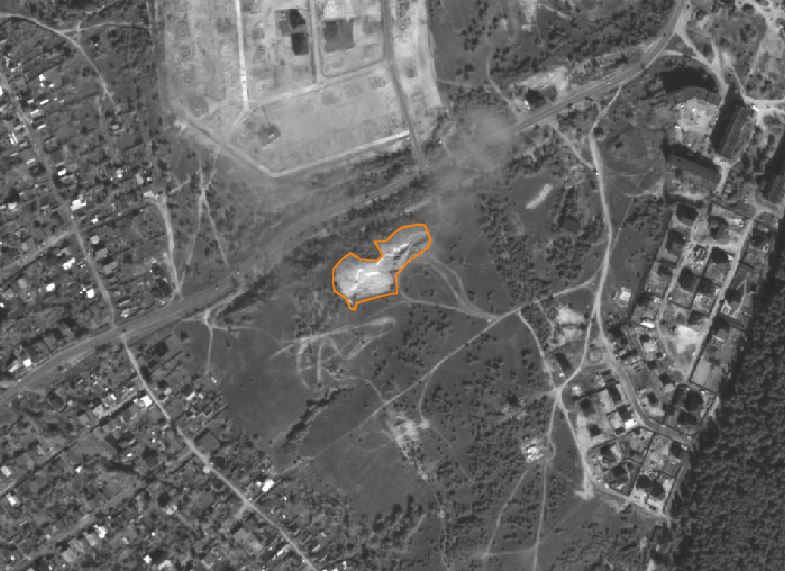
The Earth remote sensing data is a helpful tool in all works related to the geology and mining industry.
By using the technology of remote sensing, it is possible to collect data with large coverage, including hard-to-reach territories. This permits to receive totally new data about the area of interest (AOI) and to reduce costs for the field works.
In the geology and mining industry the ERS data can help to solve these following tasks:
- prediction of mineralization;
- detection of natural anomalies;
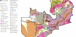
- creation of maps (geological, tectonic, geomorphological, ecological and other);
- study of the lithosphere's structures;
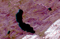
- study of the distribution of deposits of combustible and ore minerals;
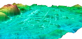
- specification of the geological structures;
- monitoring of current geodynamic processes.
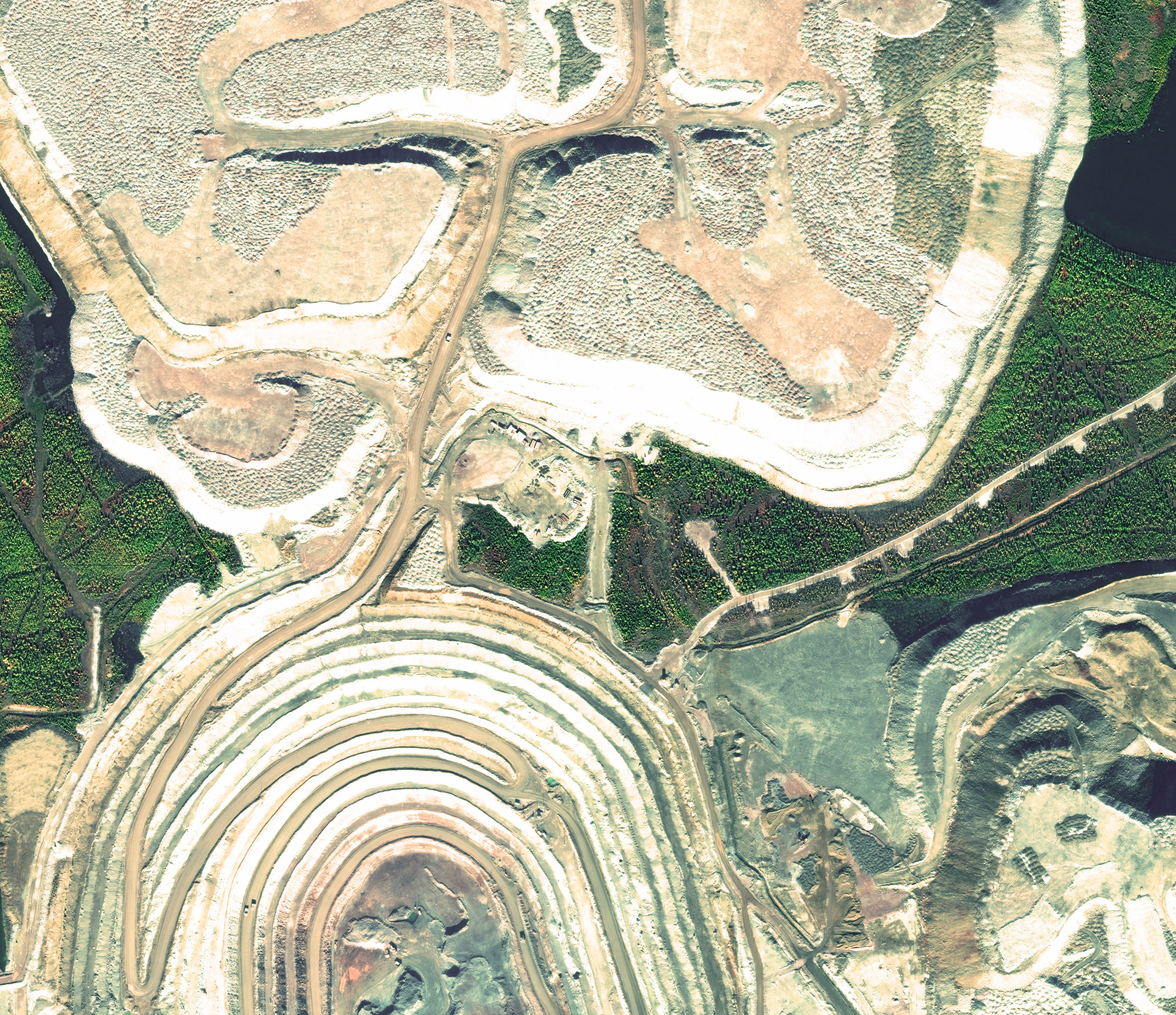
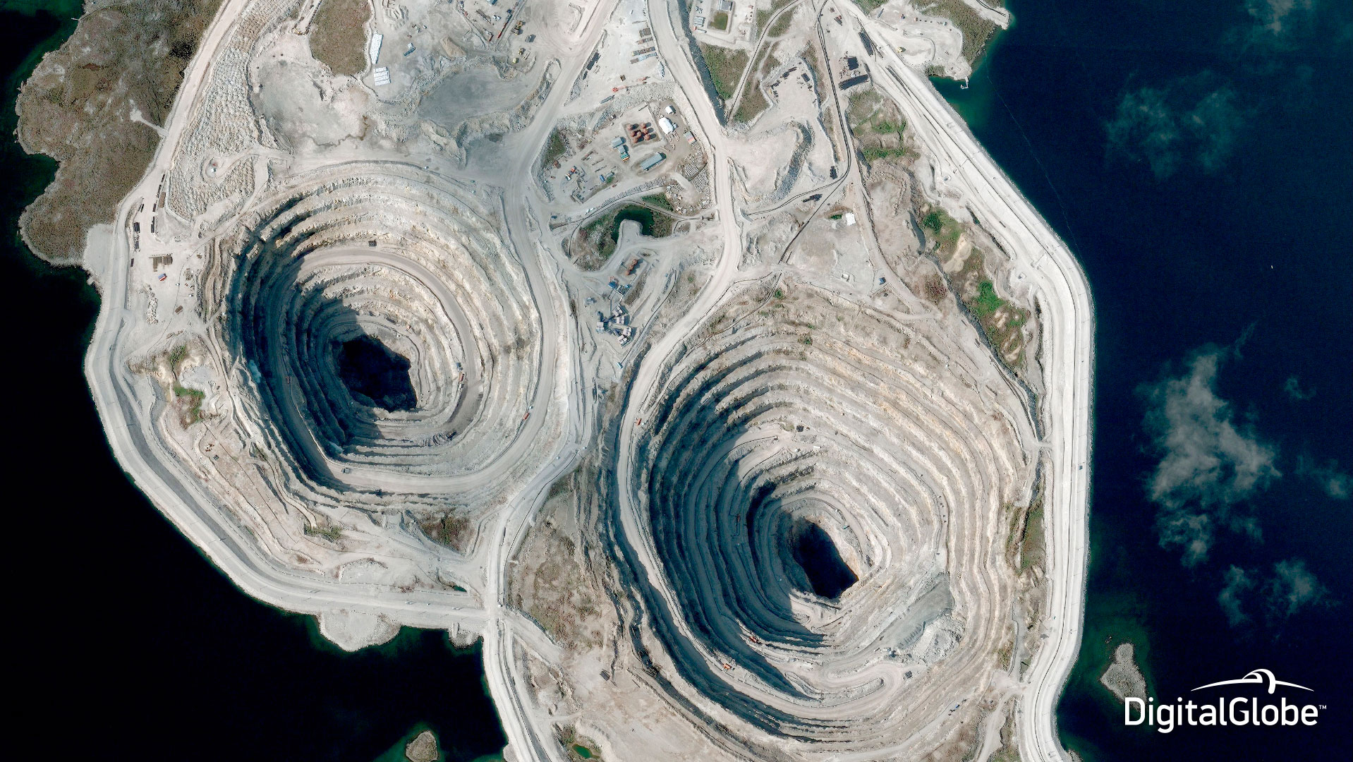
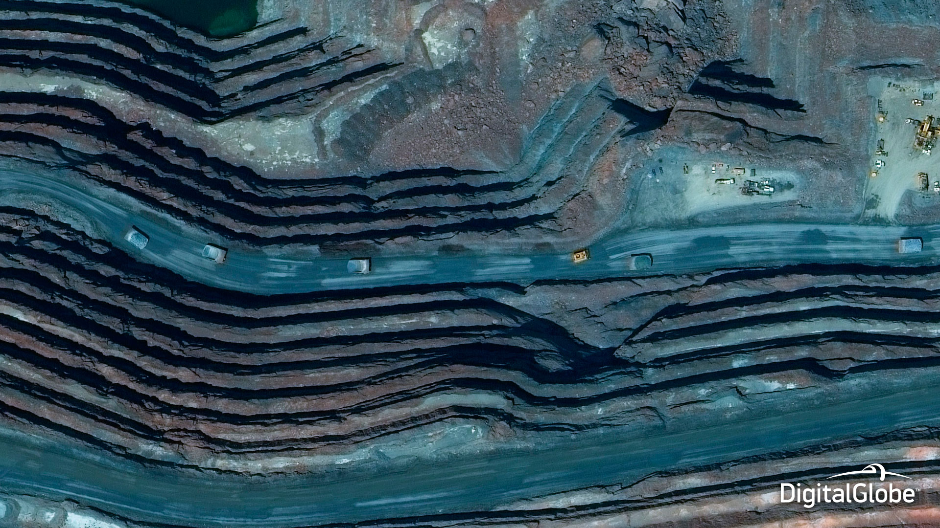
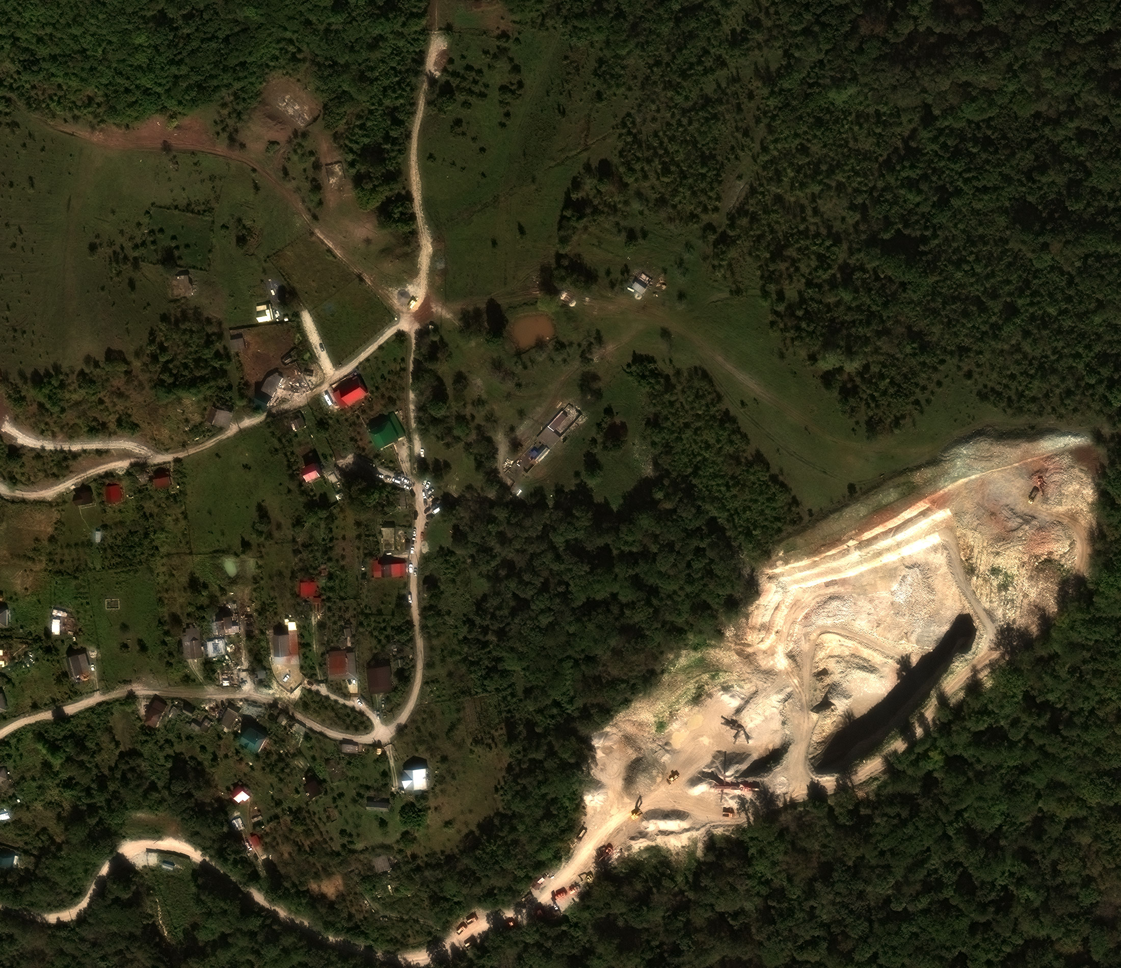
Satellite imagery is the source of information for special purpose maps' creation. Engineers need these maps on each stage of mining and survey works. Remote sensing eases the work of mine surveyors and enineers, and particularly: site monitoring, security management of the site, preventing technogenic accidents.