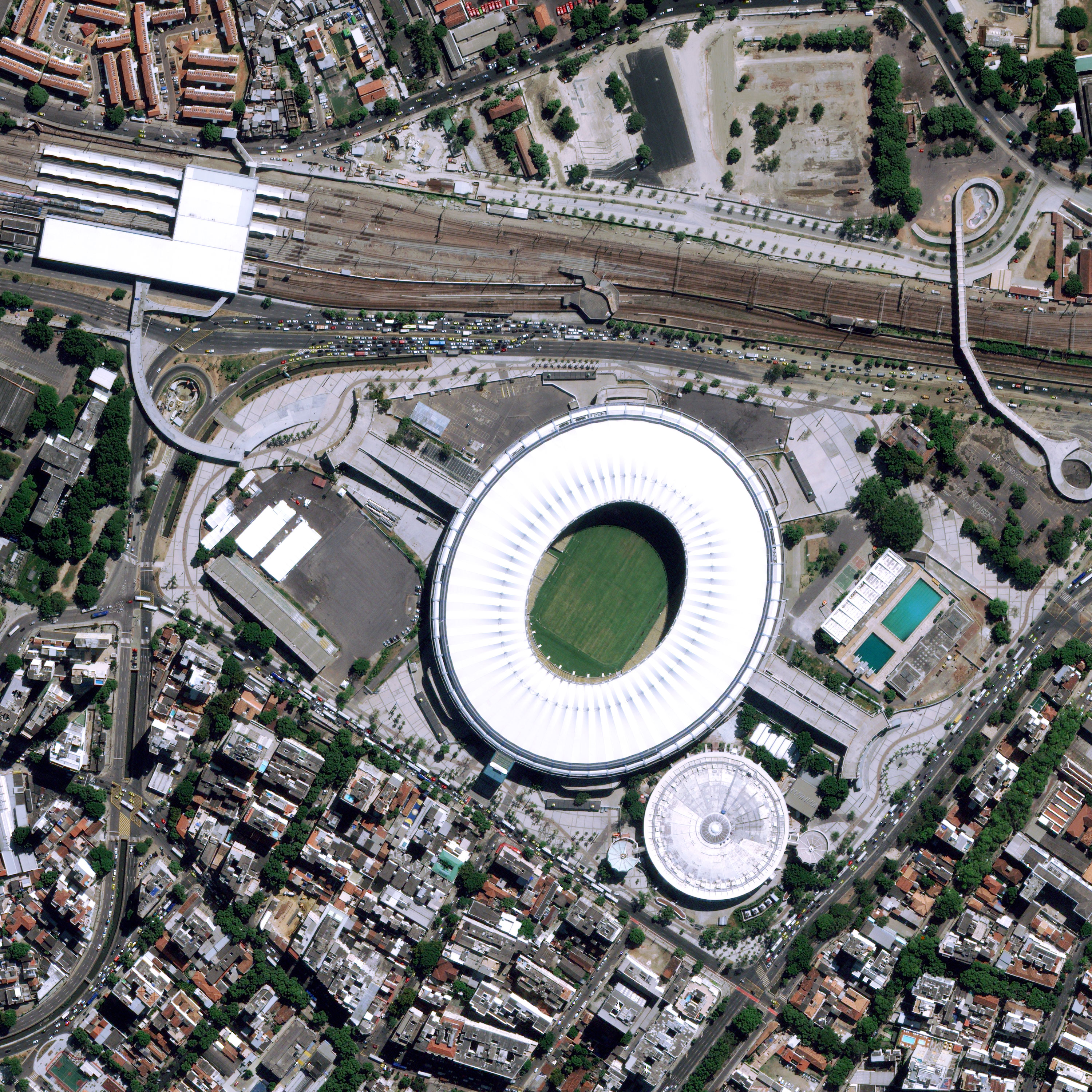
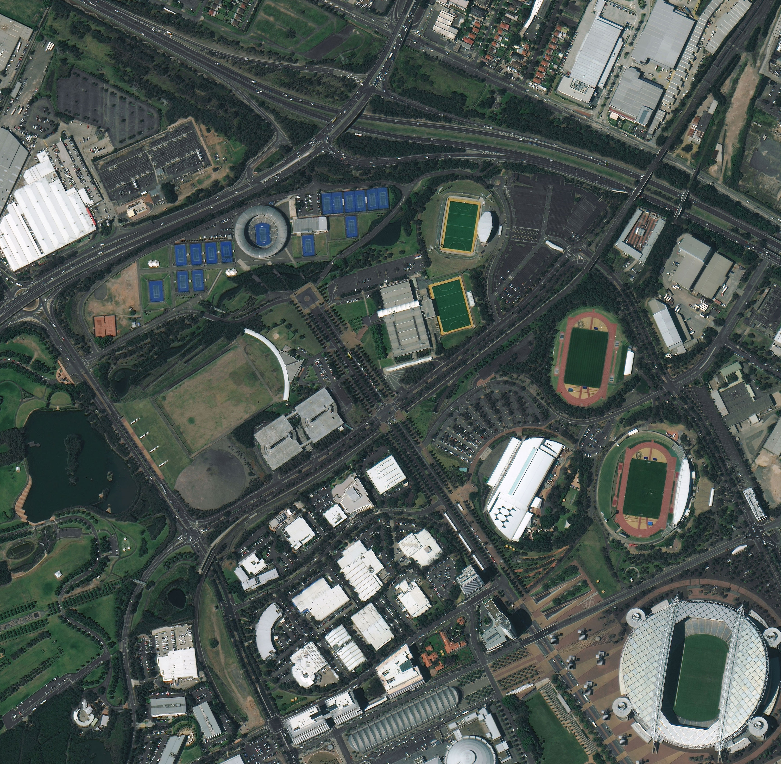
Aerial survey and satellite imagery provide up-to-date information about the earth's surface. This data is widely applied in mass media. Satellite images complement articles in magazines and newspapers, news broadcasts on TV and documentaries.
Advantages:
- detailed imagery;
- high resolution;
- worldwide coverage.
Applications of aerial and satellite images
Satellite surveying is helpful when it is needed to include images of hard-to-reach territories into the reportage. Due to the worldwide coverage of satellite imagery, it is easy to get exclusive materials for a journalistic investigation. Here are some examples of applications: environmental pollution detection, forest fire size determination, consequences of floods determination, etc.Aerial shots are widely used in film production, advertising, music video production. These shots can be done with an aircraft (a plane or a helicopter) or with an UAV (drones).
Data delivered from the aerial or satellie survey can be used as an initial data for the DEM generation. The DEM (digital elevation model) displays the current state of the surface: relief, landscape's features, vegetation, water. This information is used on TV in weather forecasts and in documentaries.