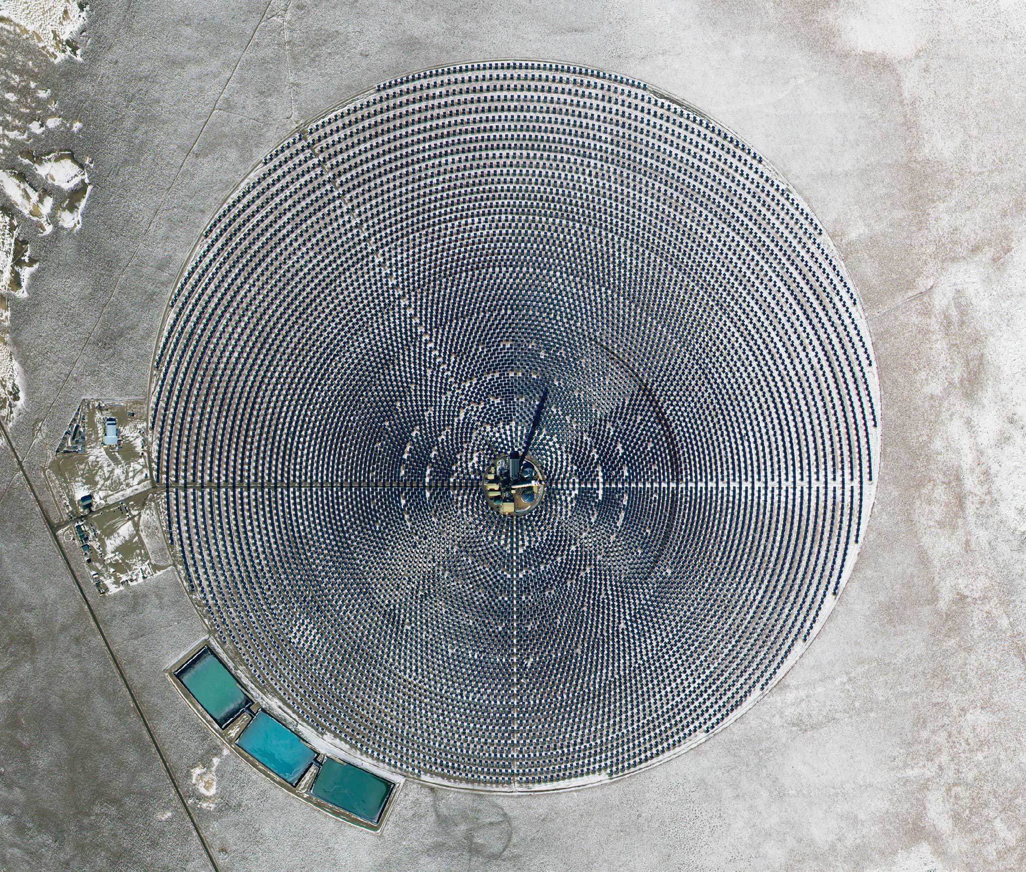
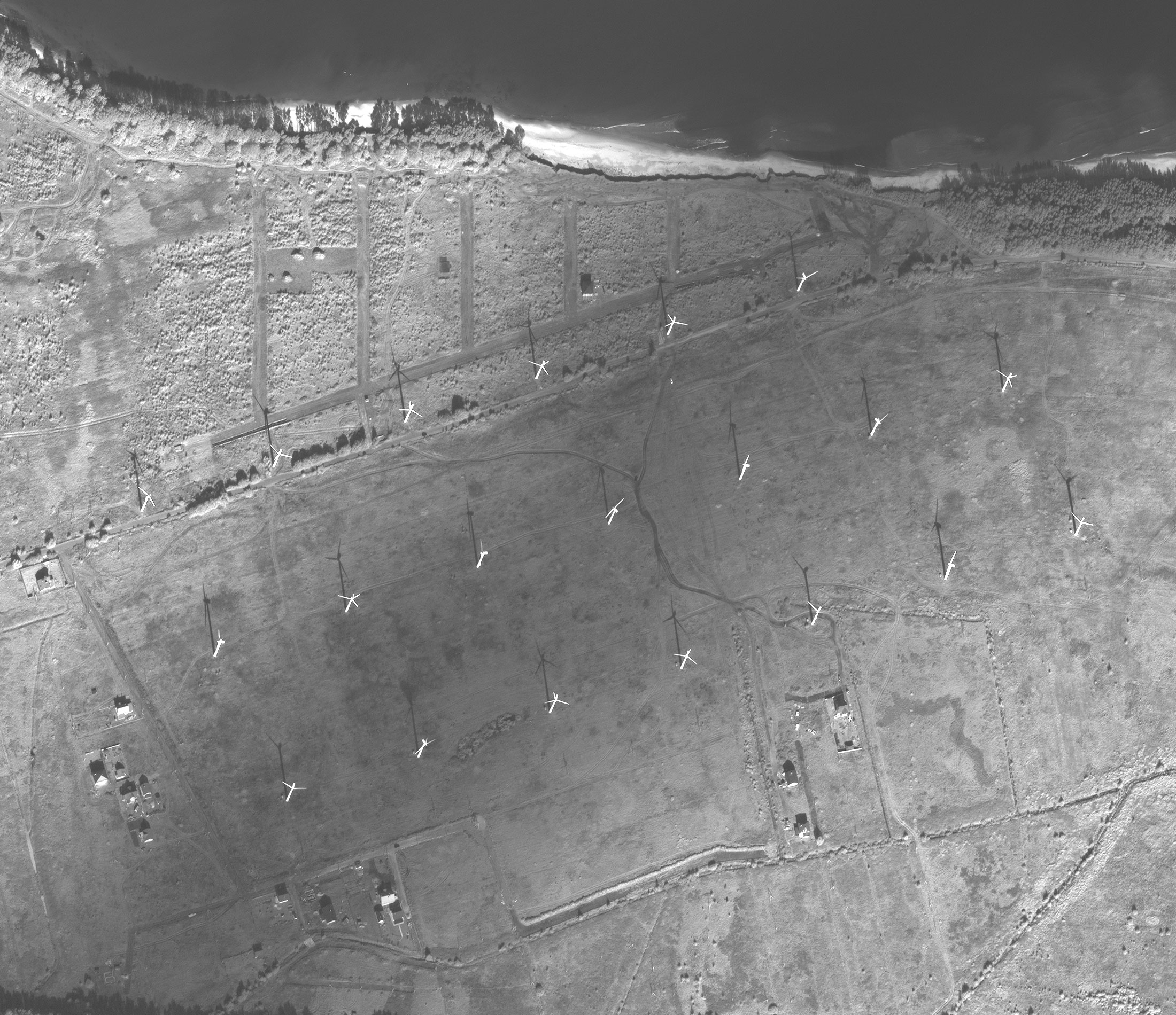
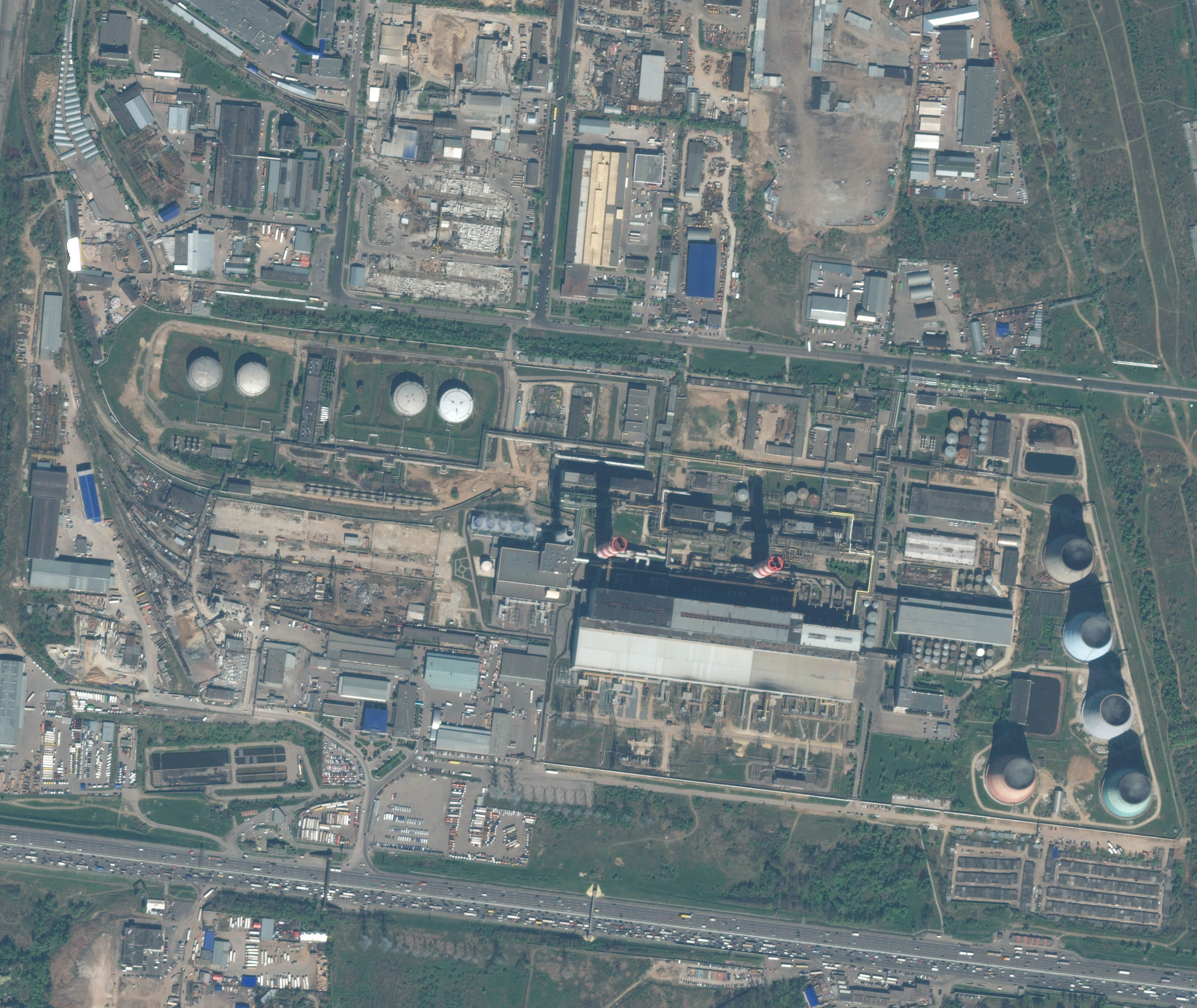
The Innoter company provides comprehensive solutions based on satellite surveying and digital cartography for energy companies. High resolution and worldwide coverage of the satellite imagery allow engineers and planners to take better decisions.
Applications of satellite imagery for the energy industry:
- energy industrial facilities' current state monitoring;
- energy industrial facilities'constructure planning and monitoring;
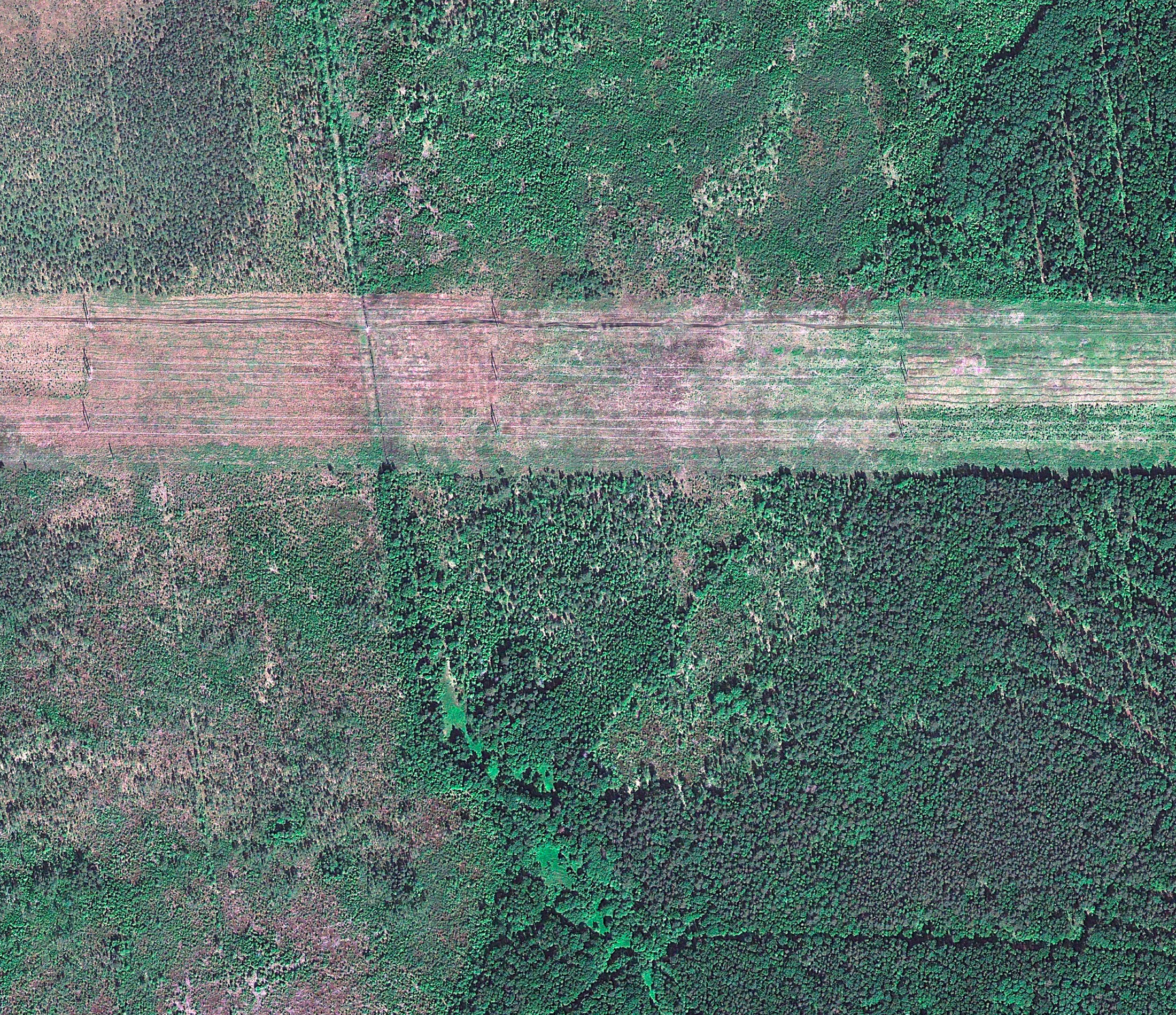
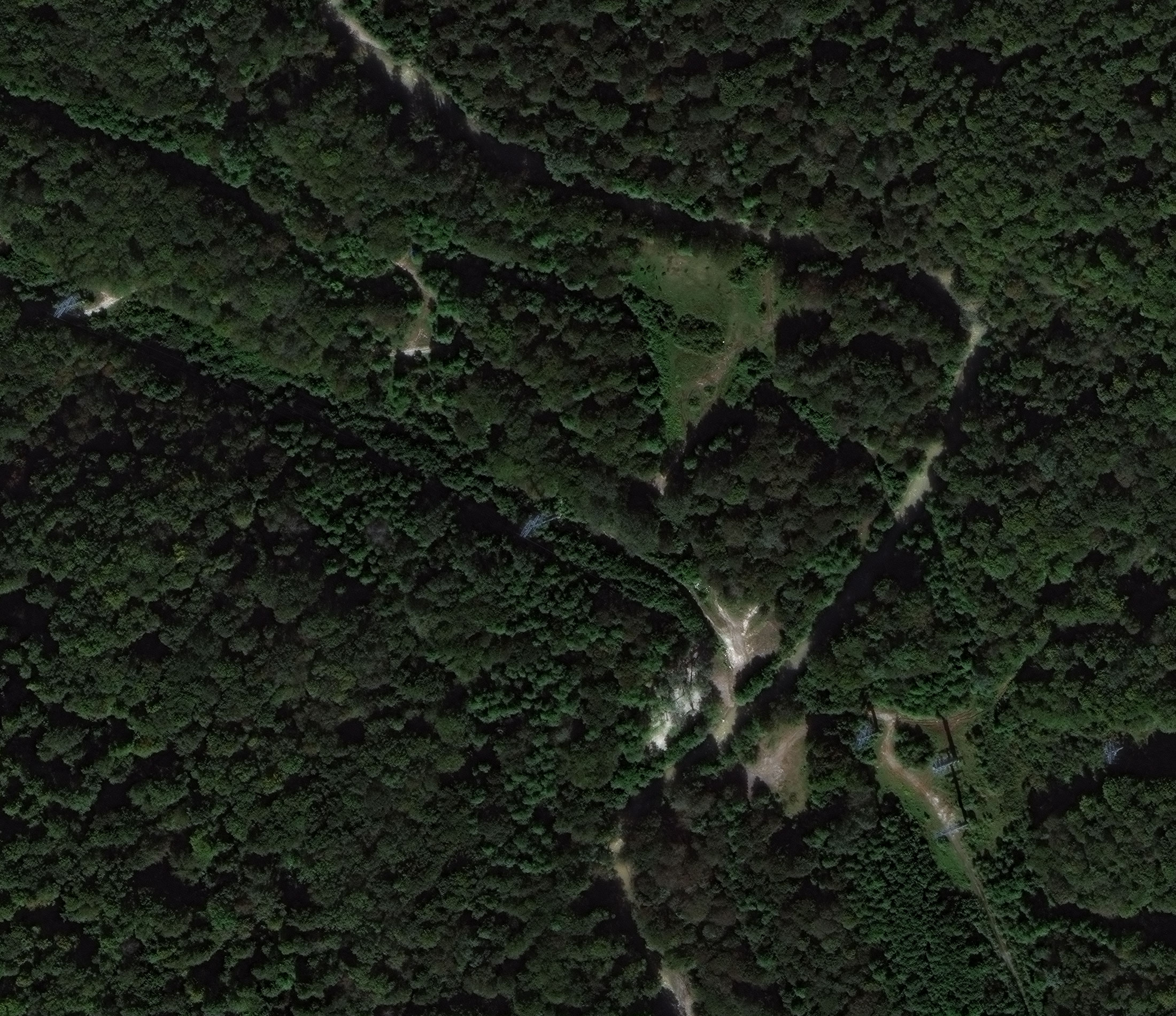
- power lines' damage detecting;
- projecting the possible flooded area total square (for the dam construction).
Electricity power system always needs a proper maintenance, which can be provided by using high-resolution imagery from unmanned aerial vehicles. Aerial imagery is widely used for power lines construction works planning. It is important to make a preliminary examination of the territory before the construction works. Regular space or UAV monitoring helps to predict and prevent all possible technogenic accidents.