Search the site
Licenses and certificates
Licenses and certificates confirm GEO Innoter’s right to perform works in geodesy, cartography, mine surveying and handling information constituting a state secret.
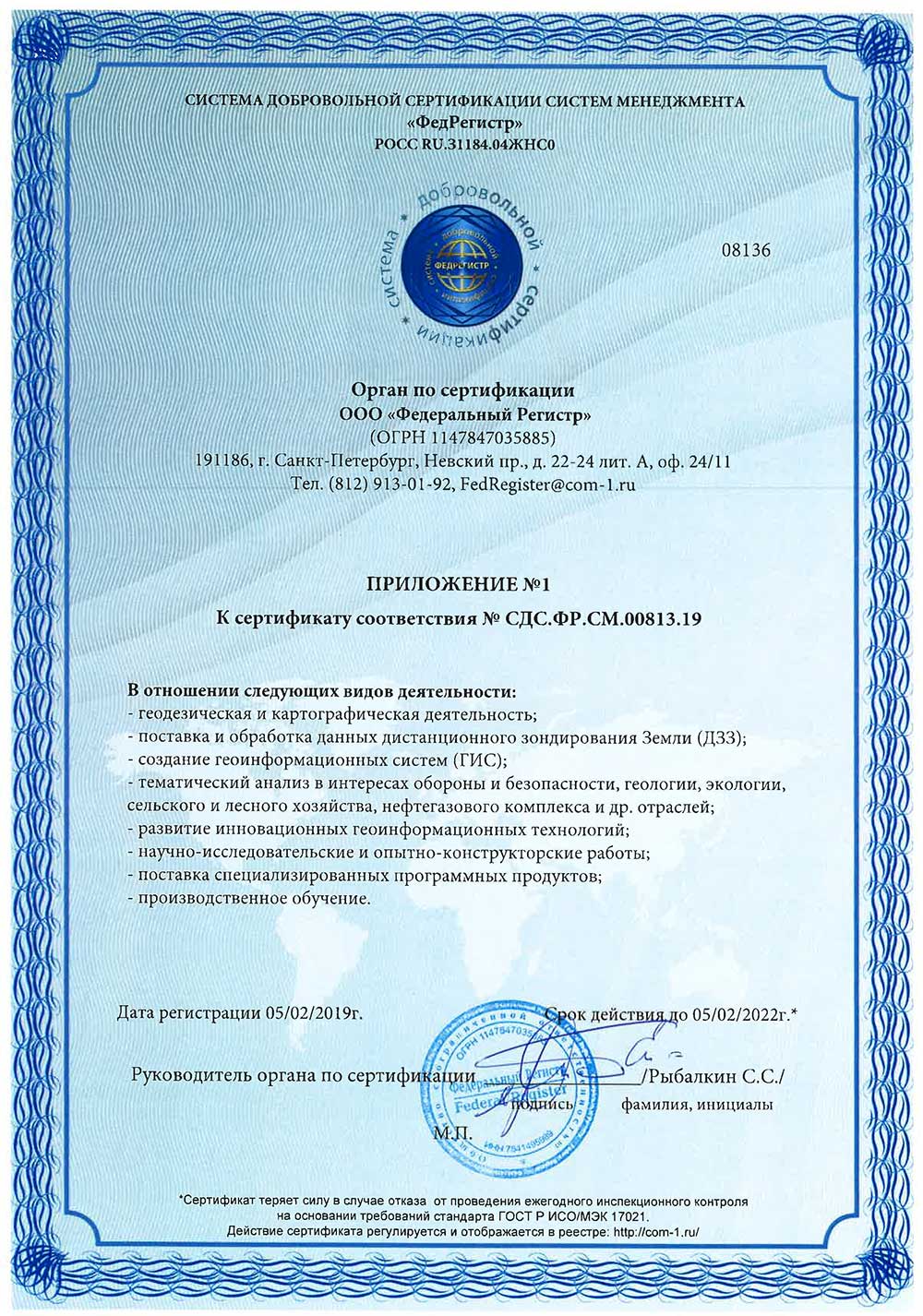
ISO 9001:2015 Certificate of Conformity №СДС.ФР.СМ.00813.19 (page 2)
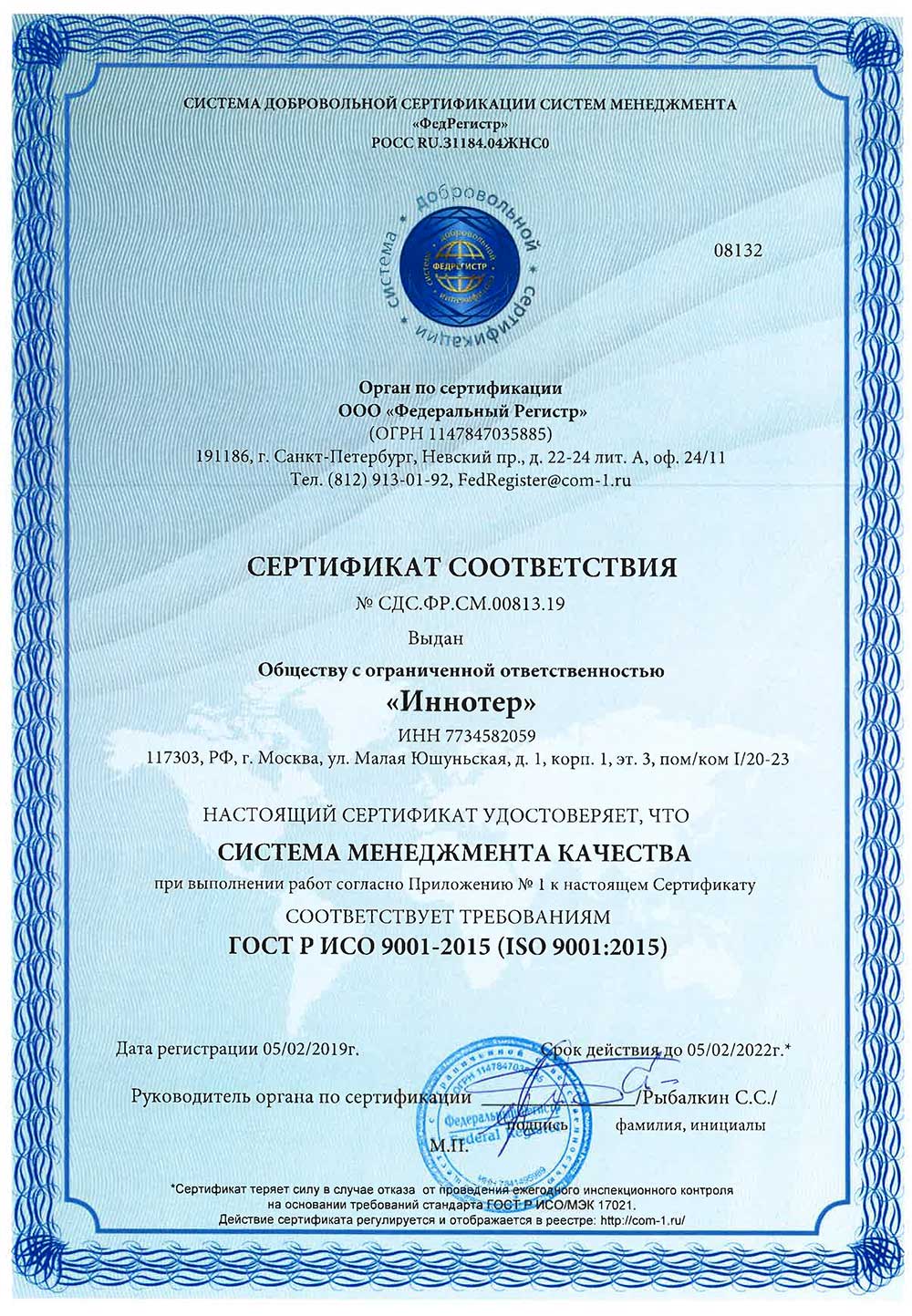
ISO 9001:2015 Certificate of Conformity №СДС.ФР.СМ.00813.19 (page 1)
ИСО 9001-2015 (ISO 9001:2015)
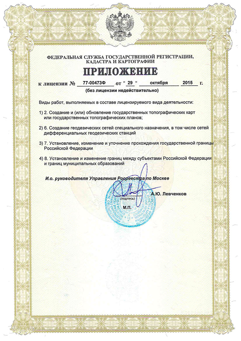
Application for the license for implementation of geodetic and cartographic activities
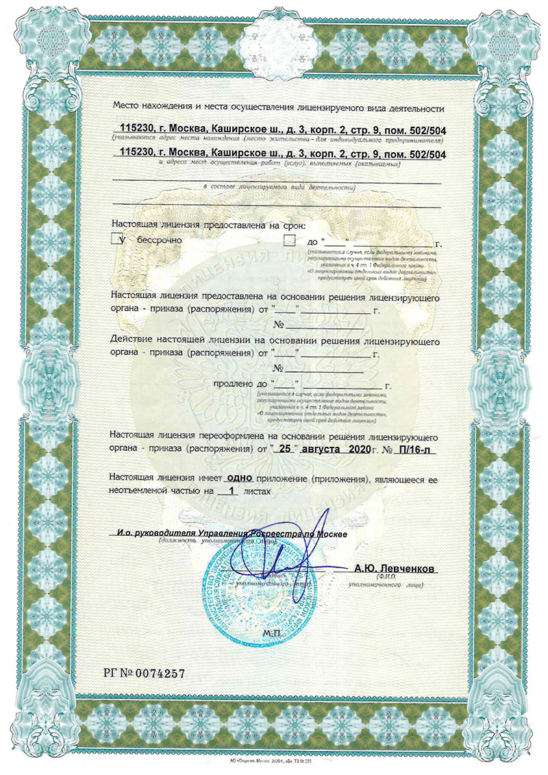
License for implementation of geodetic and cartographic activities (page 2)
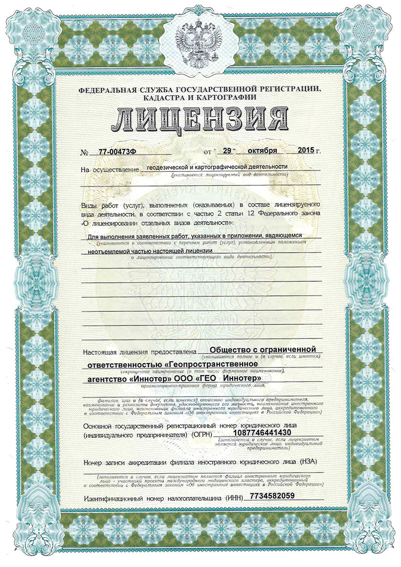
License for implementation of geodetic and cartographic activities (page 1)
Need satellite imagery or help choosing the right data?
Describe your task, area of interest, and desired outcome. We will check data
availability, assess new acquisition options, and propose the optimal solution in terms of timelines, cost,
and quality.
Discuss the project
clients who trust us
25+ years in the geodata market