ERDAS IMAGINE provides true value, consolidating remote sensing, photogrammetry, LiDAR analysis, basic vector analysis and radar processing into a single product.
The Hexagon company offers many solutions in one, incorporating the following standards, enterprise capabilities and products:
ERDAS IMAGINE is available in three options – Essintials, Advantage, Professional.
For cost calculation and consultations contact us by the phone: +7 495 245-04-24 or send us an e-mail to: innoter@innoter.com
- image analysis, remote sensing, GIS;
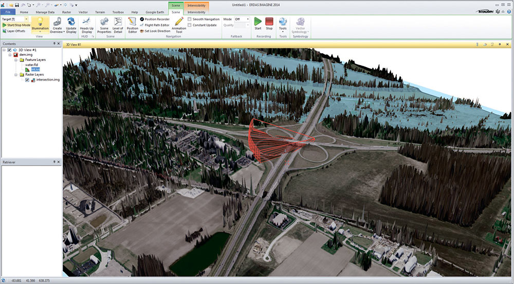
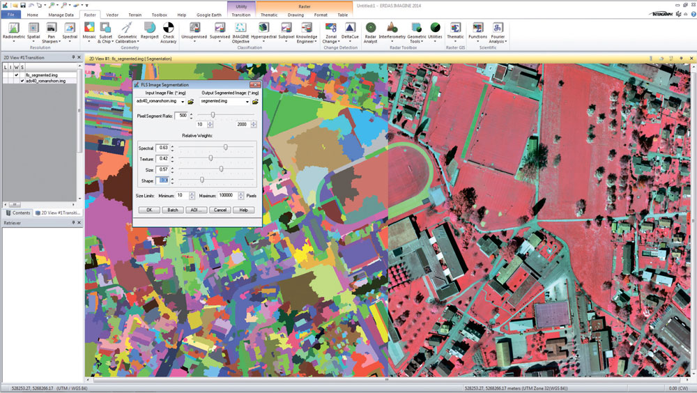
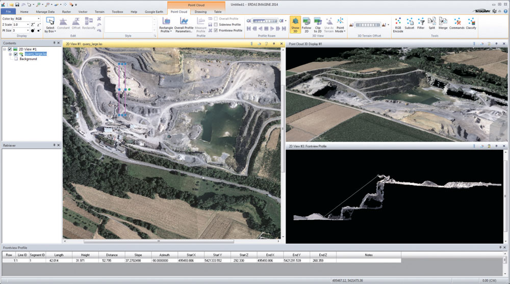
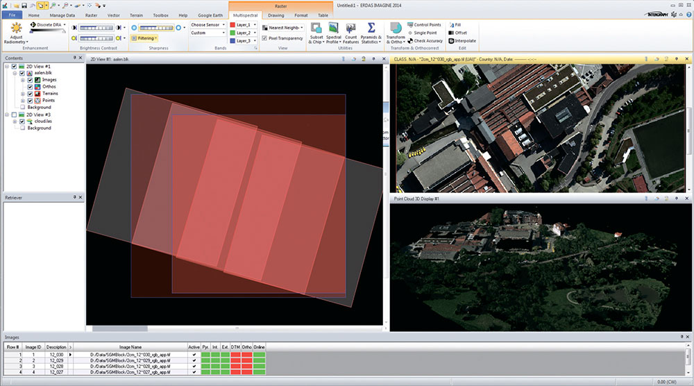
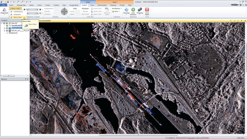
- support for optical panchromatic, multispectral and hyperspectral imagery, radar and LiDAR data;
- user-friendly ribbon interface;
- multi-core and distributed processing;
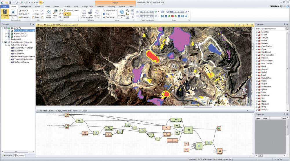
- spatial modelling with raster, vector and point cloud operators, as well as real-time results preview;
- high-perfomance terrain preparation and mosaicking;
- a variety of change detection tools;
- ERDAS ER Mapper algorithm support
- ability to convert more than 190 image formats into all major file formats: GeoTIFF, NITF, CADRG, JPEG, JPEG2000, ECW and MrSID;
- comprehensive OGC web services, including Web Processing Service (WPS), Web Coverage Service (WCS), Web Mapping Service (WMS) and Catalog Services for the Web (CS-W)
ERDAS IMAGINE is available in three options – Essintials, Advantage, Professional.
| Функциональные возможности | Essentials | Advantage | Professional |
| Geographically connect files across viewers | • | • | • |
| Compress into MrSID, ECW, and JPEG2000 formats | • | • | • |
| Use more than 190 different image and GIS data formats | • | • | • |
| Rapidly display and roam through imagery vectors and LiDAR |
• |
• | • |
| Create and edit shapefiles | • | • | • |
| Create and print maps in more than 1000 different projected coordinate systems |
• |
• | • |
| Display and analyze Esri® Geodatabases |
• |
• | • |
| 2D, 3D, and profile viewing of point clouds | • | • | • |
| Virtual mosaic of imagery | • |
• |
• |
| Polynomial-rectify images | • | • | • |
| Batch processing | • | • | • |
| Parallel batch processing | • | • | |
| Orthorectify images | • | • | |
| Advanced image mosaicking into a single image or image tiles | • | • | |
| RGB-encode, edit, filter, merge, and split point cloud data | • | • | |
| Interpolate surfaces | • | • | |
| Perform spatial, radiometric, and spectral enhancement | • | • | |
| Analyze radar images | • | • | |
| Perform advanced multispectral image classification and point cloud classification | • | ||
| Perform graphical spatial modeling | • | ||
| Extract information from hyperspectral imagery | • |
For cost calculation and consultations contact us by the phone: +7 495 245-04-24 or send us an e-mail to: innoter@innoter.com