You can order from us
Prices for services
| Consultation | Free of charge |
|---|---|
| Image acquisition, preliminary analysis | Free of charge |
| Ordering radar and optical images |
The cost of remote sensing materials is calculated individually for each order and may vary based on:
|
| Cost of mapping natural and anthropogenic objects based on image interpretation, field surveys, and laboratory research | Calculated individually |
|
Execution time |
From 20 working days (depends on the volume, complexity, and availability of archival images) |
The price depends on the number of processed images and the scope of work and is calculated individually for each customer.
After receiving a description of the task, we will calculate the cost and send you a commercial offer.
The cost of execution is calculated on an individual basis, taking into account a specific of task.
After receiving the task description, we calculate the cost and send you a commercial offer.
Period of execution
The completion time for the work is 20 working days from the date of receiving the advance payment, and it is calculated individually for each customer.
The timeframe for completing the work depends on the following factors:
- Total area of the area of interest;
- Availability of archival remote sensing materials and the need for new imaging;
- Requirements for remote sensing materials and the final product;
- Complexity of the work.
How to place an order:
Need for consultation?
Fill the form and we will contact you
Stages of service provision
The result of the provision of services
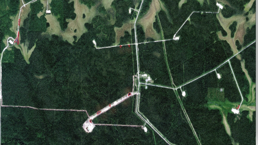
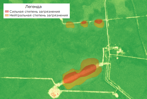
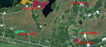
The following cartographic and attribute GIS layers of classified data are created:- Contaminated land parcels - 1 layer, with an attribute table indicating the types and degree of contamination.
- Oil-contaminated water bodies - 1 layer with an attribute table specifying the types of water body contamination.
- Locations of temporary waste storage - 1 layer with an attribute table indicating the types and status (rehabilitated or unrehabilitated).
- Sampling points - 1 layer, with an attribute table indicating the type of sample (soil, ground, sediment).
Requirements for Source Data
Precise coordinates of the area of interest, requirements for satellite and aerial imagery materials (resolution on the ground, type of imagery, imaging period).
If it is not possible to provide the specified information, please provide information about the purpose of using the satellite imagery materials, and specialists from "GEO INNOTER" will analyze the requirements and suggest an optimal solution to the problem.
Related services


Completed projects

Customers
FAQ
To assess the state of an oil spill, the following set of data is required:
- Possible location of the oil spill, environmental information (coordinates, district name, region, SHP file, etc.);
- Requirements for the time period (period for which archival data can be used or the need for new imagery);
- Whether monitoring has been conducted in this area previously.
- Identifying violations of environmental protection requirements established by the legislation of the Russian Federation;
- Establishing the reasons that caused environmental pollution;
- Determining the damage caused as a result of environmental pollution.


