Features:
- The most precise and newest images, which cover all 500 sq km of the Earth's surface
- Full coverage of the Earth in different scales
- The dataset fits all accuracy, relevance, aesthetics criteria for the best quality of analysis
- DigitalGlobe is responsible for processing, updating and storage of images.
- The data can be stored in distributed cloud network, which will be available from anywhere. It also can be placed on client's server for better data safety and access control.
Advantages:
- You get the full image dataset, that can be bundled with data from other DigitalGlobe's products
- All data is GIS-ready
- Easy access from anywhere
- Minimization of storage costs and customer labor costs
- Fast seamless integration (on demand), which simplifies existing processing in GIS-programs and speeds up the decision making process
- Has different configurations, which broadens your opportunities and makes the Global Basemap absolutely unique service
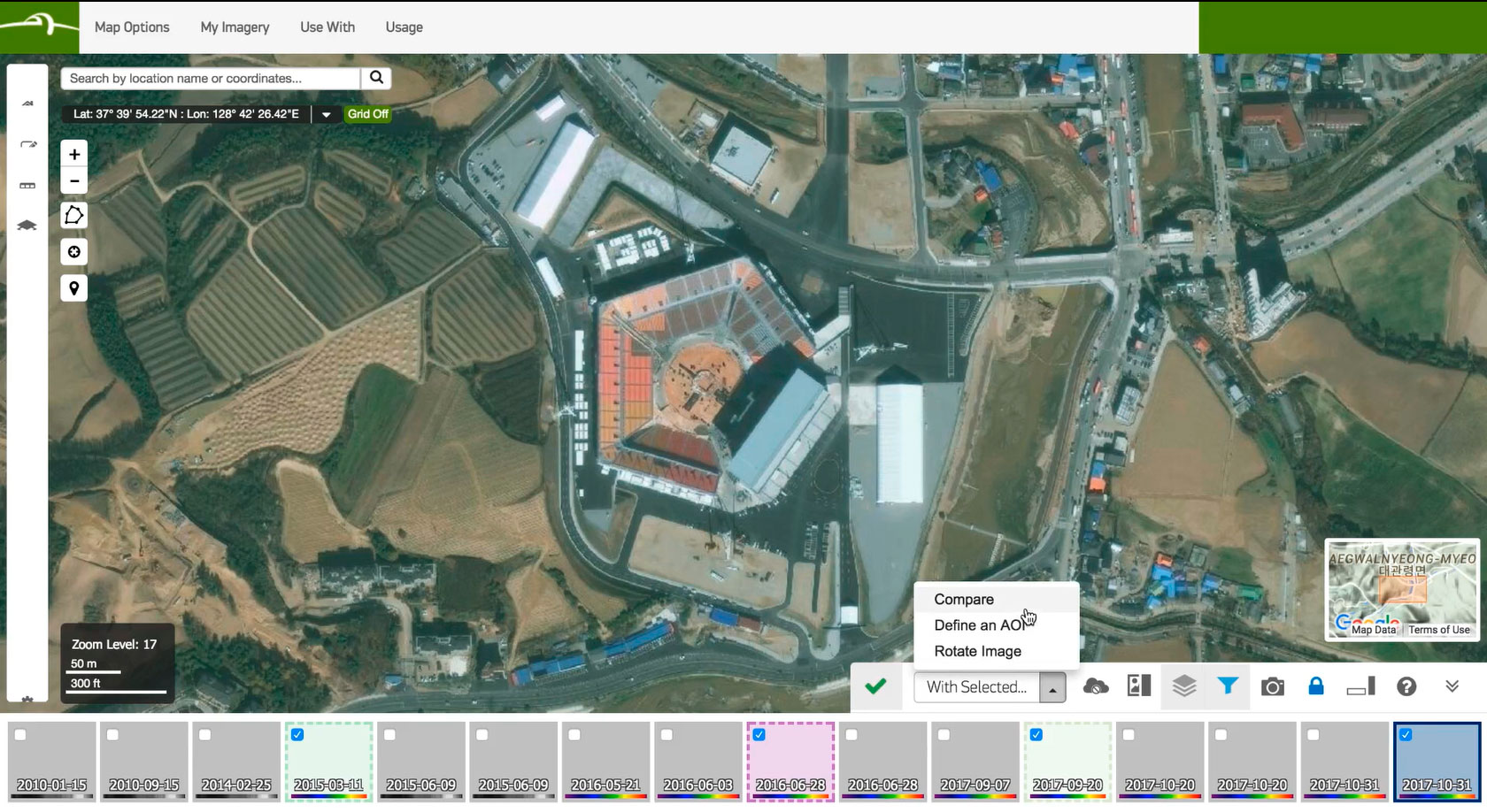
Coverage:
Depending on your needs both one city or whole country coverage can be purchased.
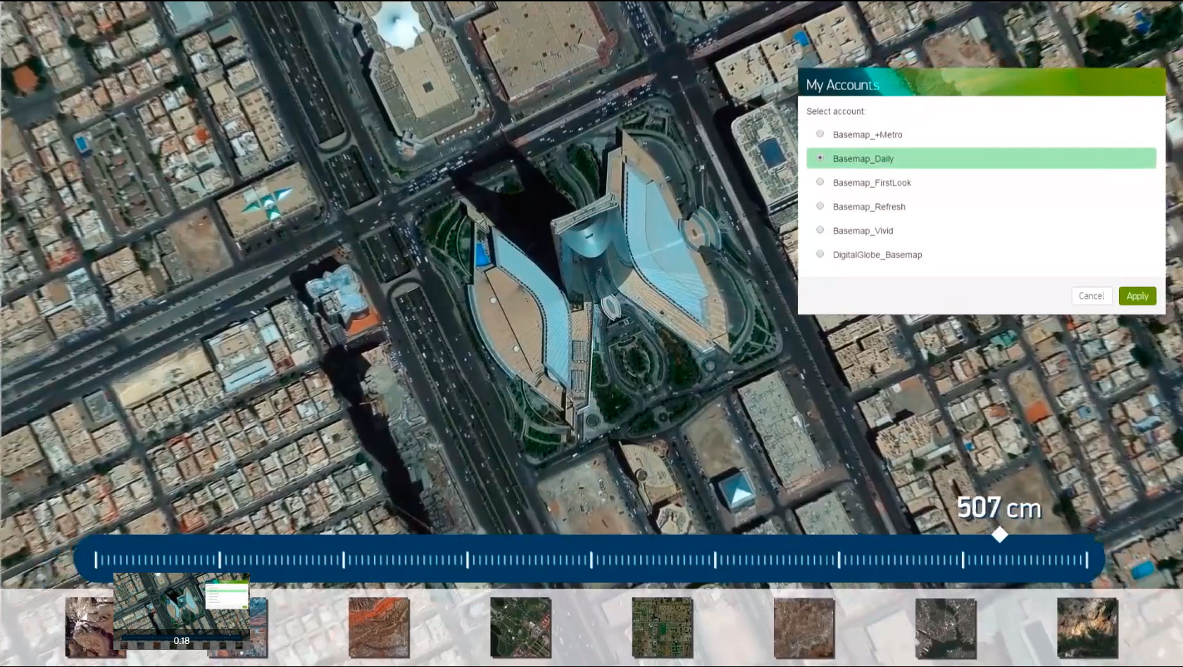
Options:
Global Basemap's subscription plan offers various settings, so you can find the best solution that fits your needs. A user can choose the following parameters: frequency of data updating, type of surface, image resolution, etc.
Subscription plans:
- 1 year or more
- with coverage of 1 country, several countries or worldwide
If you have any questions about Global Basemap service, contact us via e-mail: innoter@innoter.com