The ERS data is progressively used for the forestry inventory, the natural factors and forestry activity action on the canopy cover measurement; it can secure the forest branch with the very timely information on the forests condition. Practically all the forest segment immediate problems (lease relations development, certification, old forests protection, illegal felling and fires prevention) require the timeliest and objective information on the forests for its solution. The transition to the forests regular space survey with middle and high resolution will permit to solve many tasks of the forest management at the new level.
The space images are the most effective for the following tasks solution:
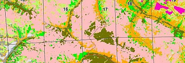
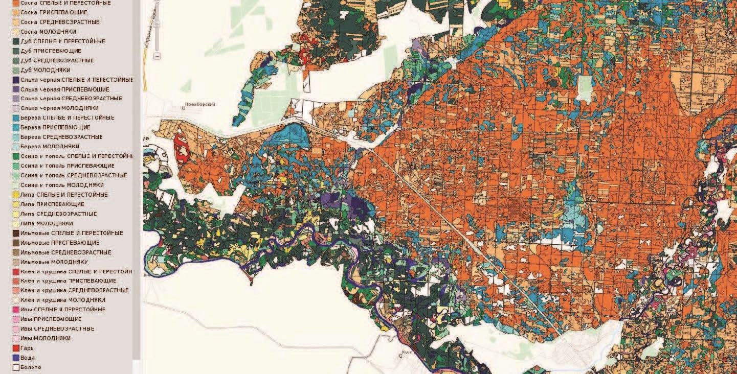
- forests categories (angiospermous, coniferous wood forests) and species composition classification;
- forests braking down into the categories according to the age, degree of ripeness, ground-wood pulp stock, biological productivity basing on the images, using both the field reference information and the existing sample areas;
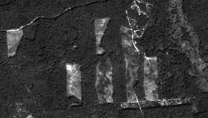
- detection of the existing cut-over lands, burnt areas, new cut-over lands, burnt areas on-line automated monitoring, economic and ecologic damage estimation;
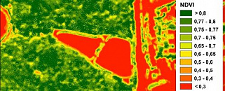
- detection and forecasting of the adverse events influencing the forested areas (the varmint and diseases impact, forests drying out and waterlogging processes leading to its degradation and dying), with the view of these processes recording when planning the forests environmental management;
- observation of the environmental conditions facilitating or hampering the forestry activity (detection of the flat boggy areas, harsh terrain bending, etc, applying the DTM);
- monitoring the logging-off processes (including the illegal deforestation);
- forest pathology monitoring;
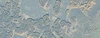
- forest resource inventory, timberland certification;
- reafforestation appraisal.
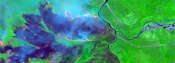
The space monitoring can solve the forest fires problem to a great extent. The use of the space monitoring permits to work the following tasks:
- fire danger forecast and monitoring;
- interactive forest fires detection and monitoring;
- cost for actions dealing with the forest conservation optimization (including the aerial surveillance itinerary);
- the of the burnt area estimation;
- preliminary estimation of the fires damages (including the detected died forest crop);
- ground, aerial and space survey data comparison, including the back link with the ground and aerial fire engineering services in regions;
- multimedia information integration (topographic base ERS and attributive data) in one GIS- interface with the aim of the managerial solutions in the field of the forest fires situation monitoring support.
The satellite surveying and ERS data are highly demanded by forestry management organizations, governmental bodies, environmental agencies and organizations. Both new surveying and archive data can be ordered.