your companion in the world
of geospatial solutions
of geospatial solutions
Operation mode:
Mon-Fri: 10:00 - 18:00
Sat-Sun: Non-working days
Project's objective
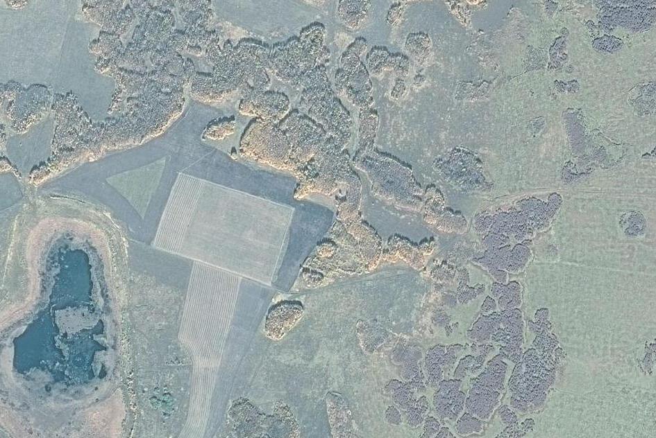
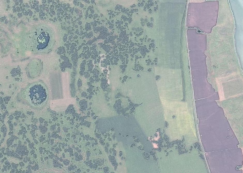
Creation of digital orthophotomaps for the Kurgan region for forest taxation
Completed work
Work description
- Order and delivery of satellite imagery of forests with high spatial resolution 2 meters from the GaoFen-1 satellite;
- Color correction, light correction, geometric correction by RPC, ortho-correction by digital elevation model of DEM AlosWorld DEM 3D-30m;
- Release orthomosaics in local coordinate system and create seamless mosaics.
Results
The created orthophotomaps meet the requirements for forest inventory
Need for consultation?
Fill the form and we will contact you
Operation mode:
Mon-Fri: 10:00 - 18:00
Sat-Sun: Non-working days