Operation mode:
Mon-Fri: 10:00 - 18:00
Sat-Sun: Non-working days
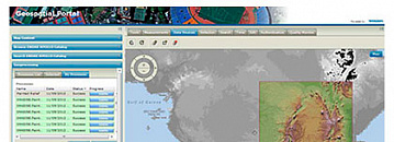
The Innoter company supplies software specially designed to work with spatial data and remote sensing data: ERDAS IMAGINE, ERDAS ER Mapper, IMAGINE Photogrammetry (former LPS), ImageStation, ERDAS Extensions for ArcGIS, desktop and web GIS GeoMedia, GeoMedia Smart Client, GeoMedia WebMap, ERDAS APOLLO, Geospatial SDI, Mobile MapWorks.


