
You can order from us


Prices for services
| Activities | Free / Cost per unit of measurement |
|---|---|
| Consultation | Free |
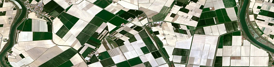
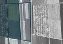
| Order of Images | from 8 to 200 USD per 1 km2 depending on the type of imagery (archive-new, mono-stereo, resolution)* |
| Contour Delineation | Cost is calculated based on the method of digitizing contours and the area of the studied territory. Different costs for creating and updating contours. |
| Attribute Table Filling | Cost depends on the complexity of the natural complexes and the number of contours. |
| Execution Time | From 5 working days (depending on the volume, complexity category, availability of archive imagery) |
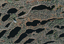
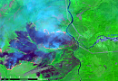
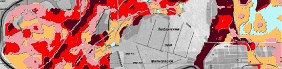
The price of studying the structure and dynamics of natural complexes depends on the cost of the ordered images and the complexity of the task (number of images for the area of interest, need for attribute table filling, complexity category of the work area, number of years to determine the dynamics) and is calculated individually for each customer.
The cost of execution is calculated on an individual basis, taking into account a specific of task.
After receiving the task description, we calculate the cost and send you a commercial offer.
Period of execution
Harmonization of terms of reference: from 1 to 5 days*Contract conclusion: from 1 to 5 days
Contract execution: from 5 days **
TOTAL TIME: from 6 days*
** working days
** from the date of receipt of 100% advance payment
The terms of studying the structure and dynamics of natural complexes depend on the cost of the ordered images and complexity of execution (the number of images per area of interest, the need to fill in the attribute table, the category of complexity of the area of work, the number of years to determine the dynamics) and is calculated individually for each customer.
How to place an order:
Need for consultation?
Fill the form and we will contact you
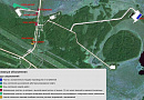
Stages of service provision
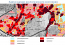
The result of the provision of services
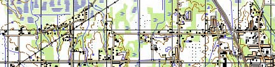
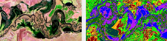
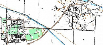
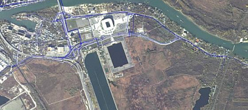
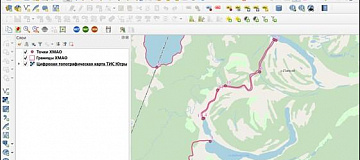
In the basic option, the customer receives a vector layer containing the boundaries of the land areas of interest. Upon agreement, the contours can include attribute information about the structure of the relevant natural complexes (PC). If the customer wishes to obtain information about dynamics, a vector layer with boundaries for each year of interest is also provided. Situations where the customer has additional requirements (e.g., having all data in one vector layer or creating a separate layer with pieces that changed over time) are discussed individually.
Vector formats: ArcGIS SHP, Google KML, GeoJSON.
Attribute information can be provided separately as an Excel file or as attribute information within the shapefile.
Requirements for Source Information
Accurate geographical coordinates of the object in the required coordinate system.
If it is not possible to provide the specified information, details about the purpose of using remote sensing materials should be provided. Specialists from "GEO INNTER" LLC will analyze the requirements and propose an optimal solution to the problem.
Related services


Completed projects

Customers


FAQ
- area of interest (location / coordinates of the object in any convenient form, and area of the object);
- a specific problem to be solved using the structure and dynamics of natural complexes.
Licenses


Warranty
It is optimal to specify profile RF and international documents regulating the subject area under consideration.We guarantee 100% quality of services. Cooperating with GEO Innoter specialists, you exclude risks and losses!
The availability of qualified personnel with extensive experience in working with specialized software allows us to ensure timely and high-quality work!
Our partners


")


")

Articles

Sat-Sun: Non-working days