Data obtained from the satellite are used for mapping, observing using of natural resources and for scientific research. One of the main tasks of ALOS was mapping Japan and other countries in the Asia-Pacific region.
Specifications of the ALOS spacecraft
| Name of the spacecraft | ALOS |
|---|---|
| Country | Japan |
| Developer | NEC Corp. |
| Operator | NASDA |
| Launch vehicle | H-IIA F8 |
| Launch date | 24.01.2006 |
| Decommissioned | 12.05.2011 |
|
Orbit: height, km inclination, degree |
Sun-synchronous 692 93.2 |
|
Platform: filming equipment angles of deflection, deg crossing time of the equator, hours |
– PRISM, AVNIR-2, PALSAR 44 10:30 |
| Period of active existence, years | 5 |
| Power, W | 7000 |
| Mass of spacecraft, kg | 4000 |
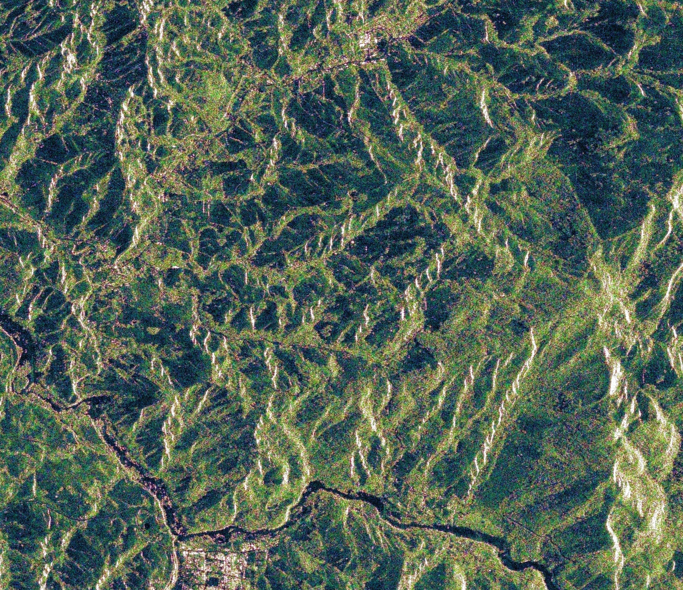
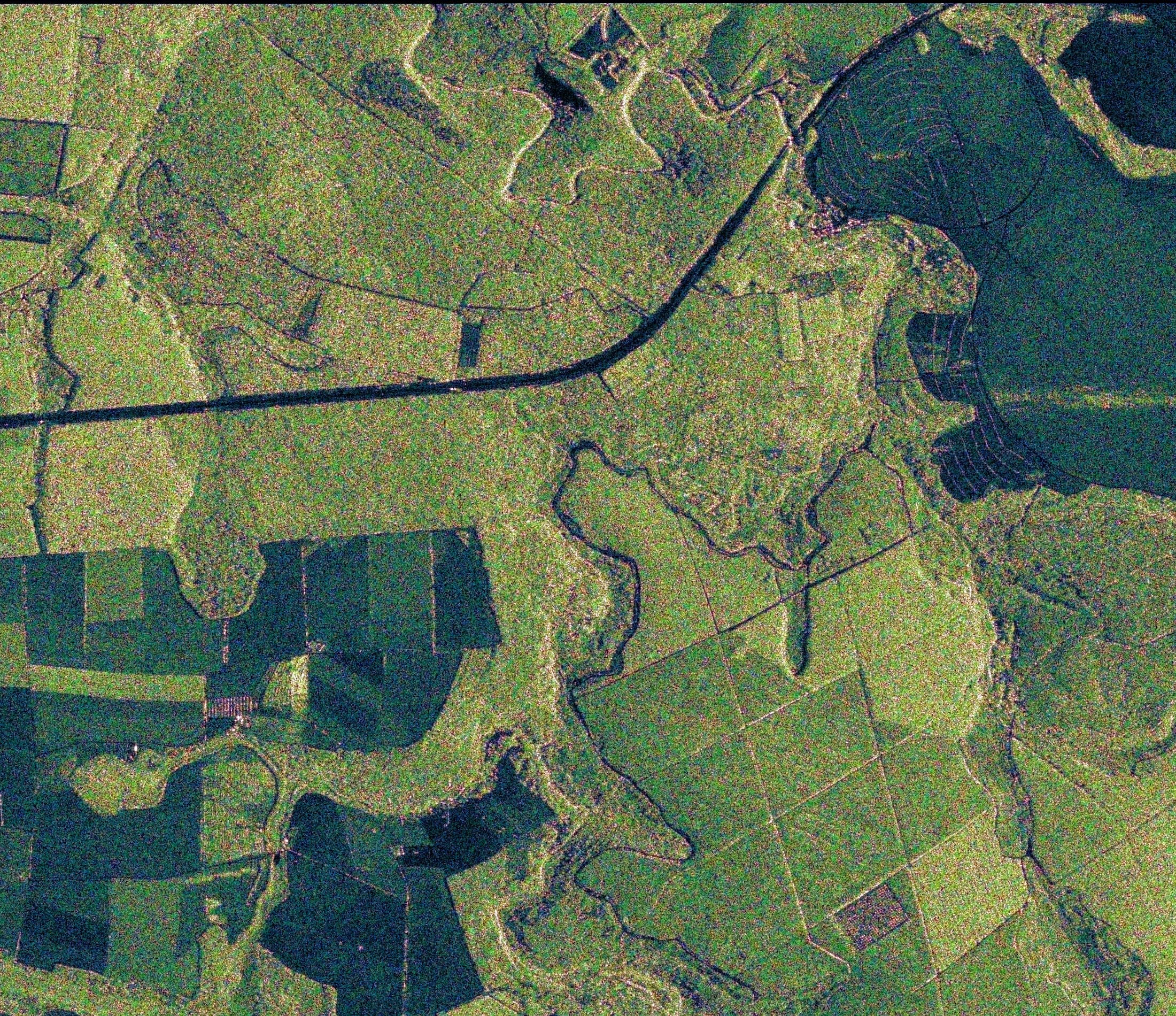
ALOS satellite is equipped with a stereo mapping camera (PRISM) to capture images with a resolution of up to 2.5 m, a multispectral camera (AVNIR-2) to capture color images with a resolution of 10 m, as well as an L-band radar (PALSAR) designed for round-the-clock and all-weather Earth observation and to capture images with a resolution of 7 to 100 m.
PALSAR sensor, can change the angle of sight in the range of 8-60 degrees relative to the Nadir, using phased array antennas with 80 modules of reception/transmission. The high-resolution mode is the main operating mode for interferometric observations. The ScanSAR mode provides coverage bands up to 350 km wide with single horizontal (HH) or vertical (VV) polarization. At the same time, the spatial resolution is about 100 m in the longitudinal and transverse directions. The polarization changes in each pulse of the transmitted signal, and signals with double polarization are received together. At a maximum data rate (240 megabits per second), the bandwidth is 30 km and the spatial resolution is 30 m.
About sensors PRISM and AVNIR-2 read more at the link.
Technical characteristics of PALSAR equipment
| Mode | Fine Beam | Direct data transmission | ScanSAR | Polarimetric | |
| FBS | FBD | ||||
| Wavelength,cm | 23.5 (L-band) | ||||
| Bandwidth, MHz | 28 | 14 | 14 | 14.28 | 14 |
| Polarization | HH or VV | HH+HV or VV+VH | HH/HV or VV/VH | HH or VV | HH/VV + HV/VH |
| Angle of inclination, degree | 8-60 | 8-60 | 8-60 | 18-43 | 8-30 |
| Spatial resolution, m | 7-44 | 14-88 | 14-88 | 100 | 30 |
| Shooting bandwidth, km | 40-70 | 40-70 | 250-350 | 30 | – |
| Transfer rate, Mbit/sec | 240 | 240 | 120 | 120 | 240 |
| Radiometric resolution, bit | 5 | 5 | 3 or 5 | 5 | 3 or 5 |
Main cases of using data obtained from the ALOS satellite:
- creation and updating of topographic and special maps
- scales up to 1: 25,000
- creation of digital elevation models (DEM) of high accuracy
- study of relief changes caused by various factors
- measurement of earth surface movements by interferometric method
- control over the use of natural resources
- observations of natural disasters
- conducting research in various fields
- solution of applied problems
FFor a preliminary calculation of the cost of covering the territory you need with satellite images from the ALOS satellite, please send the terms of reference or the coordinates of the site to e-mail: innoter@innoter.com we will be glad to answer your questions by phone: +7 (495) 245-04-24