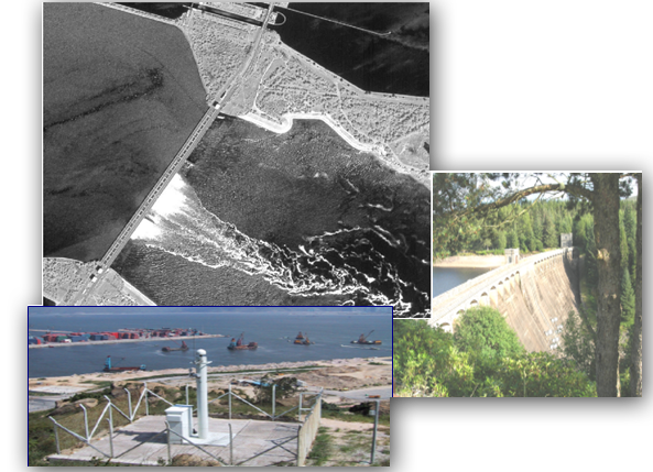
Space systems provide the possibility to control the condition of hydrotechnical structures. Positioning systems (GLONASS, GPS) provide both marine navigation and monitoring of hydrotechnical structures' shifts.
The ERS data helps to estimate the state of water resources, to provide control over the water usage in industry, to predict and calculate ares of possible flooding.

Hydrotechnical structures control
For cost calculation or consultations contact by the phone: +7 495 245-04-24 or send us an e-mail to: innoter@innoter.com
