of geospatial solutions
Sat-Sun: Non-working days
In July 2017, the Landsat program celebrated its forty-fifth year of continuous Earth observation. NASA, in collaboration with the U.S. Department of the Interior (DOI) and its scientific branch USGS, launched the first Landsat satellite (initially named Earth Resources Technology Satellite 1 - a satellite for technical means of studying natural resources) on July 23, 1972.
Landsat 1 was the first Earth observation satellite launched with a specific mission to study and monitor land surfaces. Landsat 1 had a minimum planned operational life of 1 year but operated until January 1978 when its onboard tape recorder failed, leading to its decommissioning. During its six and a half years in operation, Landsat 1 captured over 150,000 Multispectral Scanner (MSS) images worldwide.
From 1975 onwards, seven more Landsat satellites were launched (Landsat 6 failed to reach orbit), with the latest, Landsat 8, launched on February 11, 2013. Landsat 9 is scheduled to launch in December 2020.
As of today, the Landsat program has amassed 7 million images, making it the world's longest-running program continuously observing and recording the Earth's surface remotely. The collected data provide timely information to aid land managers and decision-makers in making informed choices about our natural resources and environment.
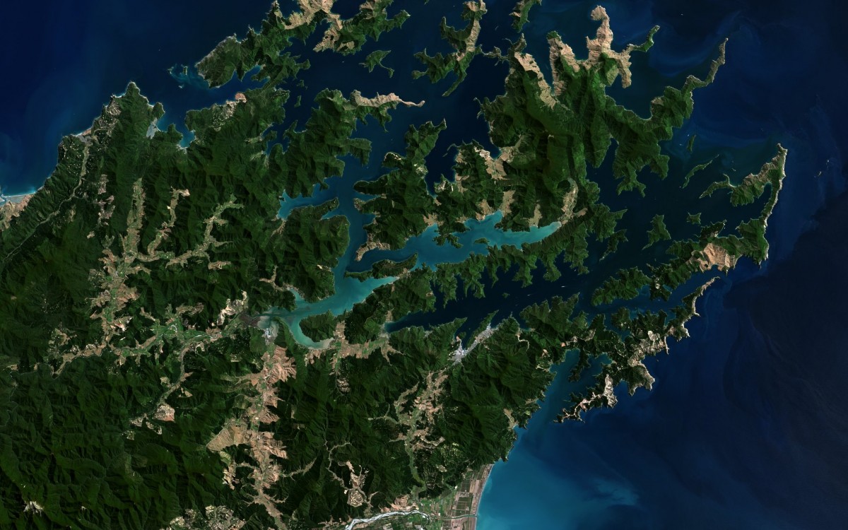
As an example, a Landsat satellite image shows Marlborough Sounds, located at the northern tip of New Zealand's South Island. Several islands within Marlborough Sounds are predator-free, allowing birds to breed freely. Local waters are populated with dolphins and seals. The image was taken from an altitude of 700 km by Landsat-8 satellite.
Sat-Sun: Non-working days