of geospatial solutions
Sat-Sun: Non-working days
This issue is resolved by purchasing satellite images from an authorized distributor. When selling a satellite image, the distributor confirms that the image exactly represents the object in question, was taken on a specific date, and has not been altered in any way that changes its content.
Often, simply presenting a satellite image in court is not sufficient. To properly interpret the content of the image (deciphering), an authoritative opinion from a specialist is required.
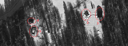
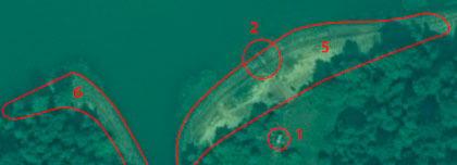
In their work, an expert employs numerous practices and methodologies to detect changes in images based on direct and indirect deciphering indicators. For instance, using the infrared channel of an image, one can identify oil spills or degradation of vegetation that are imperceptible to the human eye.
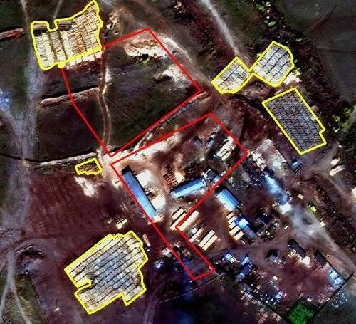
Establishing the Existence of a Building and Proving House Construction
It is relatively simple to establish the presence or absence of a building in open areas on a cloudless day. However, if the object is concealed by tree canopy or only the foundation remains, the expert must apply all their skills to establish the truth.
Satellite images, like any other pictures, have varying resolutions. The higher the resolution of the image, the more details can be recognized. Nonetheless, the resolution of satellite imagery is not infinite. Deciphering landfills, houses, garages, or cars is a manageable task, but identifying a pickpocket or recognizing a car's license plate from a satellite image is currently not feasible.
It is important to remember that ultra-high-resolution images became commercially available only in 1999. There are minimal chances of obtaining high-quality images before this date. Additionally, satellite imaging of the same territory is irregular. There is a direct correlation between the size of a city and the frequency of satellite imaging. Larger cities are imaged more frequently. This is why it is challenging to work with some cases in expert practice where the time frames for selecting images are narrow. Typically, only a few successful images can be selected for one area within a year.
Nevertheless, with each passing year, more and more ultra-high-resolution satellites are launched into orbit. This trend suggests that satellite images will increasingly be used as evidence in court.
Since 2014, our company has been providing services for judicial expertise based on satellite imaging. Descriptions of completed projects can be viewed here.
To inquire about the cost of satellite images and conducting judicial expertise based on them, please email us at innoter@innoter.com or contact us by phone: +7 495 245-0424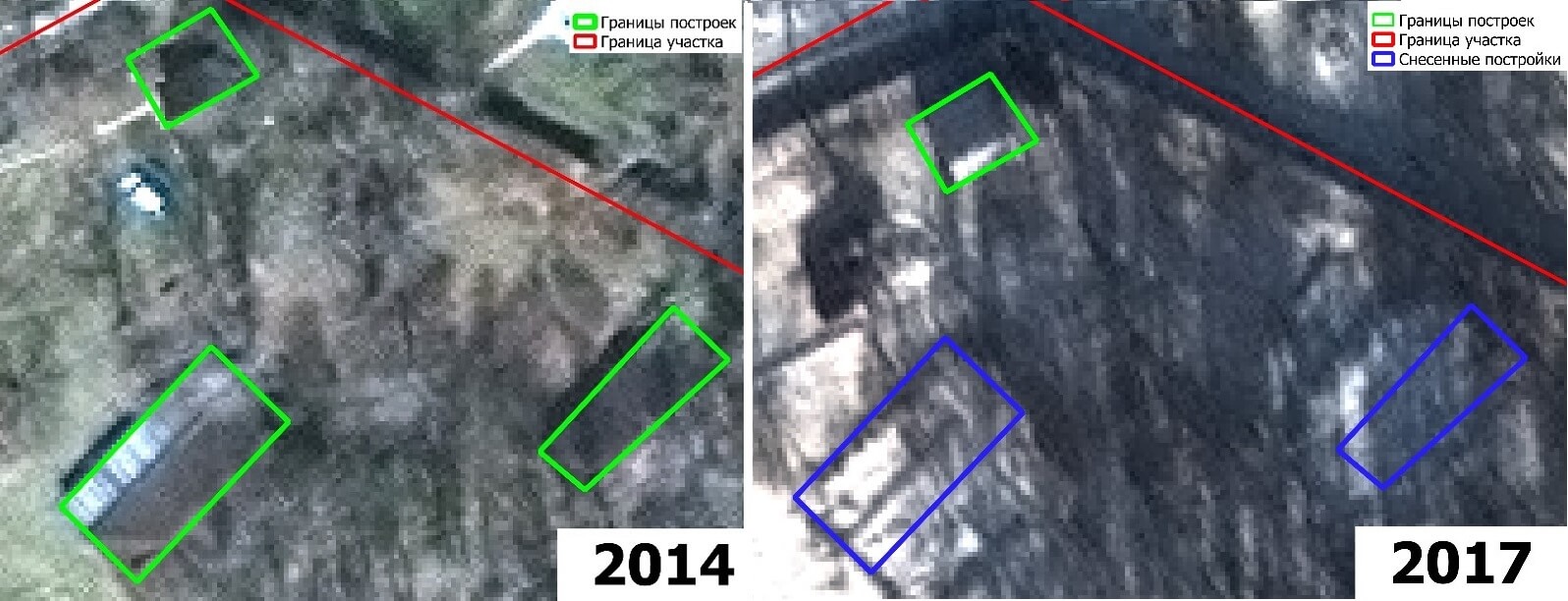

Satellite images can be valuable in legal disputes, especially when it is necessary to present evidence of important facts or the condition of objects on land or in space. Here are some areas where satellite images can be used in legal proceedings:
-
Property disputes: Satellite images can be used to determine land boundaries and resolve disputes over property ownership. For example, high-resolution images can show the actual use of land or the presence of buildings, helping to establish property rights.
-
Natural disaster damage: After natural disasters such as floods or wildfires, satellite images can be used to assess the extent of damage and determine responsibility. Images taken before and after the disaster can provide a clear picture of the size and nature of the damage, aiding in determining compensation amounts.
-
Illegal construction: Satellite images can be useful in disputes over violations of construction and planning regulations. Images can reveal illegal structures or changes in land use that do not comply with permits or agreements, serving as important evidence in legal proceedings.
-
Environmental disputes: Satellite images can be used to detect environmental violations such as illegal deforestation or pollution. These images can reveal changes in landscapes or water resources, assisting in identifying violations and their consequences.
-
International disputes: In international disputes, satellite images can be used to provide evidence of violations of international treaties or agreements. For example, images can show illegal military activities or changes in natural resources on another country's territory.
It is important to note that the use of satellite images in legal disputes requires appropriate expertise and analysis. Experts in space technology and geographic information systems can assist in interpreting and presenting these images in court.


Sat-Sun: Non-working days