Sat-Sun: Non-working days
In connection with the failure of the Sentinel-1B radar satellite on December 23, 2021, there is a need for an alternative source of C-band radar data.
Among the active satellites, Gaofen-3 (GF-3) and Radarsat-2 (RS-2) have the most similar characteristics. Let's compare their basic technical characteristics:
| Sentinel-1 | GaoFen-3 | Radarsat-2 | |
|---|---|---|---|
| Orbit | Sun-synchronous | Sun-synchronous | Sun-synchronous |
| Orbit altitude | 693 km | 755 km | 798 km |
| Frequency band | C-band | C-band | C-band |
| Imaging angle | 20º - 45º | 10º - 60º | 20º - 60º |
| Wavelength | 6 cm | 5.6 cm | 5.6 cm |
| Frequency | 5.405 GHz | 5.4 GHz | 5.405 GHz |
| Polarization | HH; VV; HH+HV; VV+VH | HH; VV; HH+HV; VH+VV; HH+HV+VH+VV | HH; HV; VH; VV; HH+HV; VV+VH; HH+VV+HV+VH |
| Imaging modes | 4 | 12 | 10 |
| Spatial resolution | 5-20 m | 1-500 m | 1-100 m |
| Bandwidth | 20-400 km | 10-650 km | 20-500 km |
Let's take a closer look at each of the spacecraft.
Gaofen-3
Gaofen-3 is the first civil radar satellite in the C-band of the China National Space Administration (CNSA).
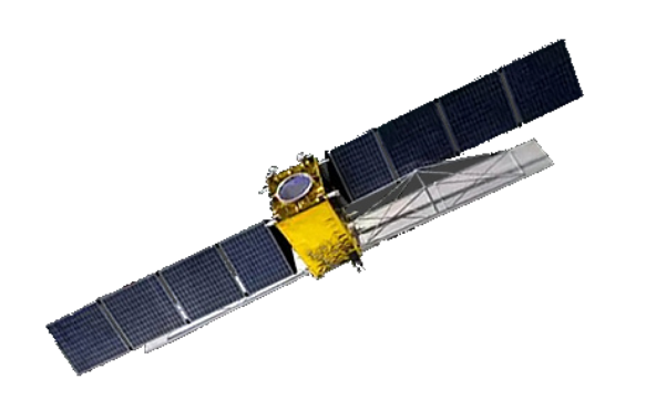
Satellite GF-3 is based on the ZY1000B platform developed by the China Academy of Space Technology (CAST), consisting of a payload and service system. The payload includes synthetic aperture radar (SAR), a data transmission system, and antenna systems for data transmission.
The resolution ranges from 1 meter to 500 meters, and the swath width ranges from 10 kilometers to 650 kilometers. The SAR payload supports single polarization modes (HH or VV), dual polarization modes (HH+HV or VH+VV), and quad polarization (HH+HV+VH+VV) depending on the observation mode.
GF-3 has 12 imaging modes with four polarization options:
| Mode | Incidence Angle Range, degrees | Spatial Resolution, meters | Swath Width, kilometers | Polarization |
| Spotlight (p) | 20~50 | 1 | 10 x 10 | Single |
| Ultra-fine stripmap (UF) | 20~50 | 3 | 30 | Single |
| Fine stripmap (F) | 19~50 | 5 | 50 | Dual |
| Wide fine stripmap (WF) | 19~50 | 10 | 100 | Dual |
| Standard stripmap (S) | 17~50 | 25 | 130 | Dual |
| Narrow ScanSAR (NS) | 17~50 | 50 | 300 | Dual |
| Wide ScanSAT (WS) | 17~50 | 100 | 500 | Dual |
| Global observation (G) | 17~53 | 500 | 650 | Dual |
| Quad-pol stripmap (Q) | 20~41 | 8 | 30 | Quad |
| Wide quad-pol stripmap (WQ) | 20~38 | 25 | 40 | Quad |
| Wave (WV) | 20~41 | 10 | 5 x 5 | Quad |
| Expanded incidence angle(E) | 10~20 | 25 | 130 | Dual |
| 50~60 | 25 | 80 | Dual |
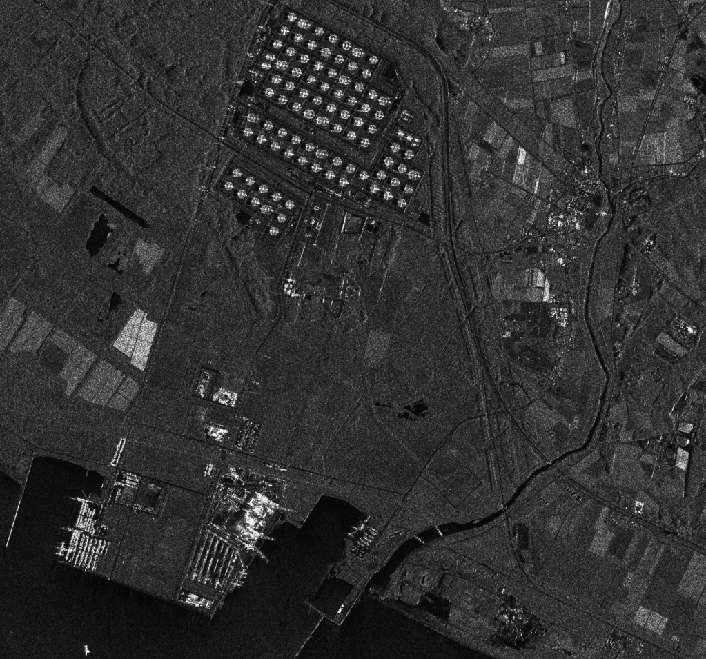
Radarsat-2
Radarsat-2 is a satellite mission jointly funded by the Canadian Space Agency (CSA) and MDA (MacDonald Dettwiler Associates Ltd., Richmond, British Columbia).
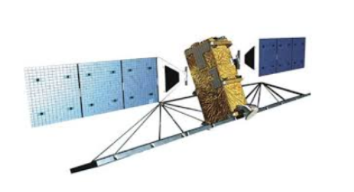
The spacecraft has a mass of 2200 kg, with a power of 2.4 kW at End of Life (EOL) from two solar panels measuring 3.73 m x 1.8 m each, and a single nickel-hydrogen battery with a capacity of 89 Ah. The estimated lifespan of the satellite is seven years.
RS-2 provides the following imaging modes:
| Mode | Swath Width, km | Spatial Resolution, m | Incidence Angle Range, degrees | Polarization |
|---|---|---|---|---|
| Wide ultra fine | 20 | 1.6 - 3.3 | 30 - 50 | Single |
| Ultra-fine | 20 | 3 x 3 | 30 - 40 | Selective Single |
| Wide fine Quad-Pol | 25 | 5.2 - 17.3 | 18 - 42 | Quad |
| Wide standard Quad-Pol | 25 | 9 - 30.0 | 18 - 42 | Quad |
| Standard Quad polarization | 25 | 25 x 28 | 20 - 41 | Dual |
| Fine Quad polarization | 25 | 11 x 9 | 20 - 41 | Dual |
| Wide multi-look fine | 50 | 3.1 - 10.4 | 29 - 50 | Dual |
| Wide fine | 50 | 5.2 - 15.2 | 20 - 45 | Single or Dual |
| Fine | 50 | 10 x 9 | 37 - 49 | Dual |
| Multi-look fine | 50 | 11 x 9 | 30 - 50 | Dual |
| High incidence | 70 | 20 x 28 | 50 - 60 | Dual |
| Standard | 100 | 25 x 28 | 20 - 49 | Dual |
| Wide | 150 | 25 x 28 | 20 - 45 | Dual |
| Low incidence | 170 | 40 x 28 | 10 - 23 | Dual |
| ScanSAR narrow | 300 | 50 x 50 | 20 - 46 | Dual |
| ScanSAR wide | 500 | 100 x 100 | 20 - 49 | Dual |
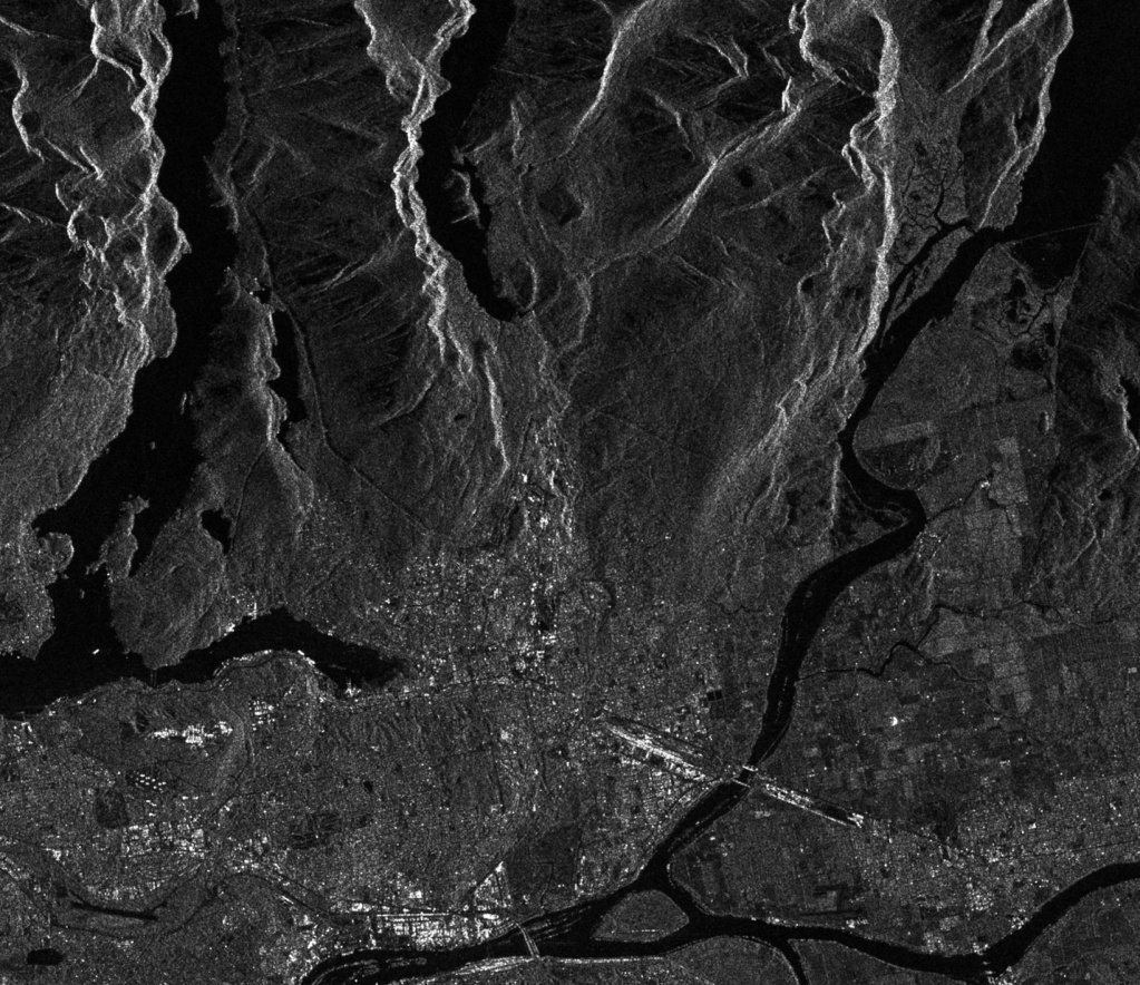
More details about the satellites can be found here:
GaoFen-3 - https://innoter.com/sputniki/gaofen-3/
Radarsat-2 - https://innoter.com/sputniki/radarsat-2/
Our specialists are ready to analyze your technical and business needs and prepare the optimal technical-commercial proposal!
Next steps: Submit an application on the website with the following details:
- Location of the area of interest (coordinates, district or area name, shapefile, etc.);
- Requirements for the imaging period (period for which archival data can be used or new imaging is required);
- Determination of the required scale and accuracy, purposes of radar image usage.
Cost estimation
The cost of radar satellite images depends on:
- Number of images ordered;
- Archive or new imaging;
- Imaging mode;
- Product variant;
- Spatial resolution of the image;
- Scene size in kilometers.
Service delivery time - from 5 (five) working days


