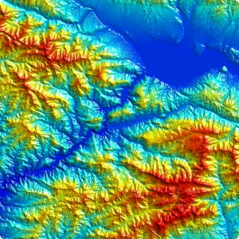
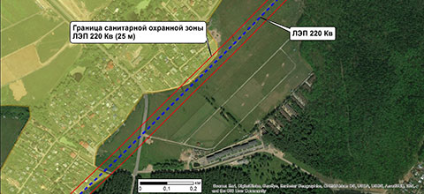
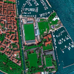
The company "GEO INNOTER" provides advanced and efficient services based on remote sensing materials. The company performs the creation of mine surveying and geodetic plans and topographic maps of field development at scales of 1:2,000–1:10,000.
Surveying work is carried out for both open-pit and underground mining methods, the construction of mining enterprises, and monitoring the movement of rock masses and the earth's surface. One of the main requirements for ensuring safe operations related to subsoil use is conducting a complex of geological, surveying, and other observations sufficient to ensure the normal technological cycle of work and predict hazardous situations, timely determining and marking dangerous zones on mining plans.
The activities related to the production of surveying work in accordance with the Instructions for the production of surveying work include:
- Spatial-geometric measurements of mining developments and underground structures, determining their parameters, location, and compliance with project documentation.
- Monitoring the state of mining allotments and justifying their boundaries.
- Maintaining mining graphic documentation.
- Determining hazardous zones and measures for the protection of mining developments, buildings, structures, and natural objects.
The mining graphic documentation includes surveying cartographic documentation, which displays:
- Relief, hydrography, settlements, etc.
- Exploratory and production wells, etc.
- Main pipelines;
- Engineering communications.
- Compressor stations and other facilities for the extraction, processing, and transportation of oil and gas.
- Geological information (presence of geological disturbances and features).
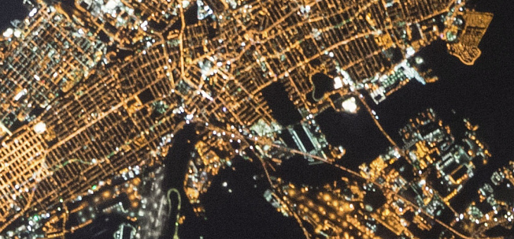
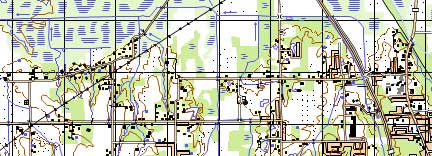
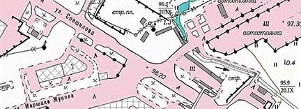
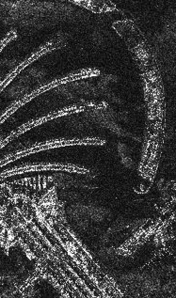
In accordance with the mentioned Instructions, updating cartographic documentation can be carried out based on aerial and ground-based laser scanning and the creation of orthophoto maps from aerial and satellite imagery materials. The existing regulatory framework determines the composition of documents created using aerial and satellite information, including mine surveying and geodetic plans and topographic maps of field development at scales of 1:2,000–1:10,000.