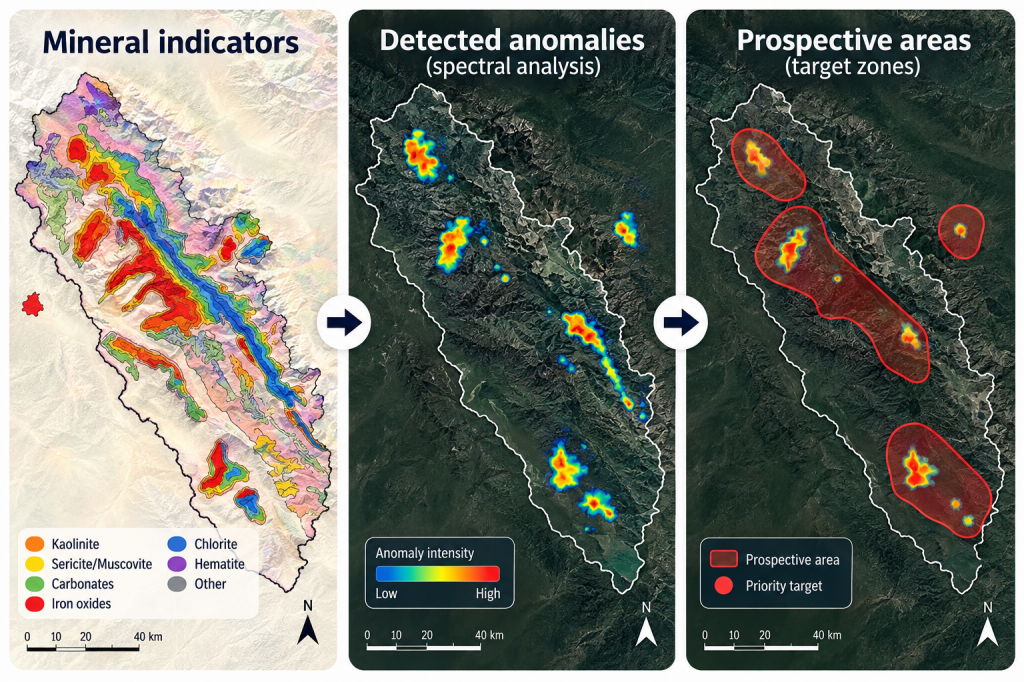
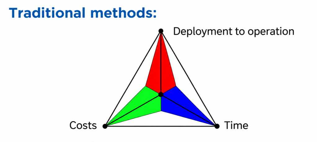
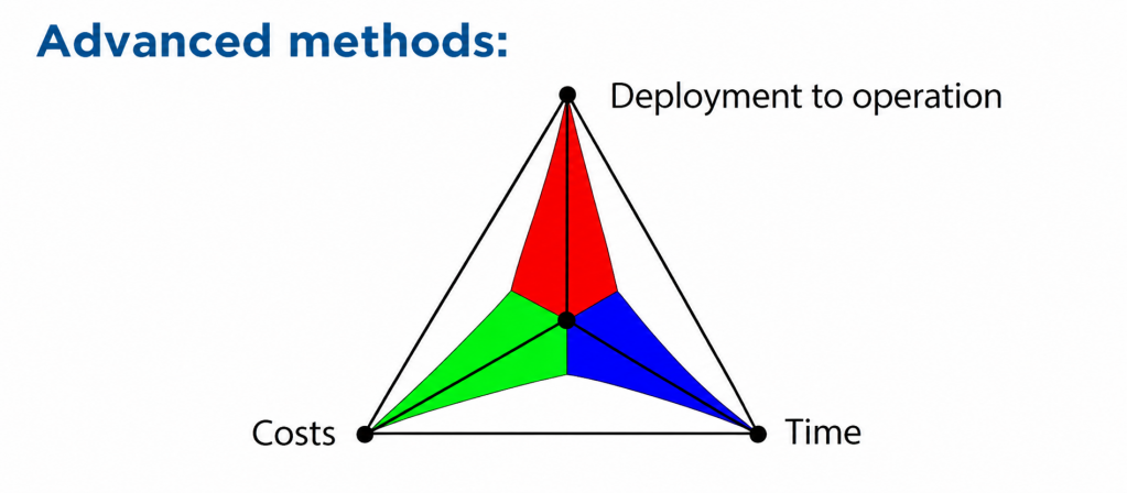
Over recent decades, the Russian Federation has experienced a relatively low level of investment in the search for and exploration of new mineral deposits compared with leading countries. Therefore, improving the efficiency of geological prospecting and exploration through Earth observation technologies, machine learning, and cloud computing is becoming an important factor in reducing financial and time costs.
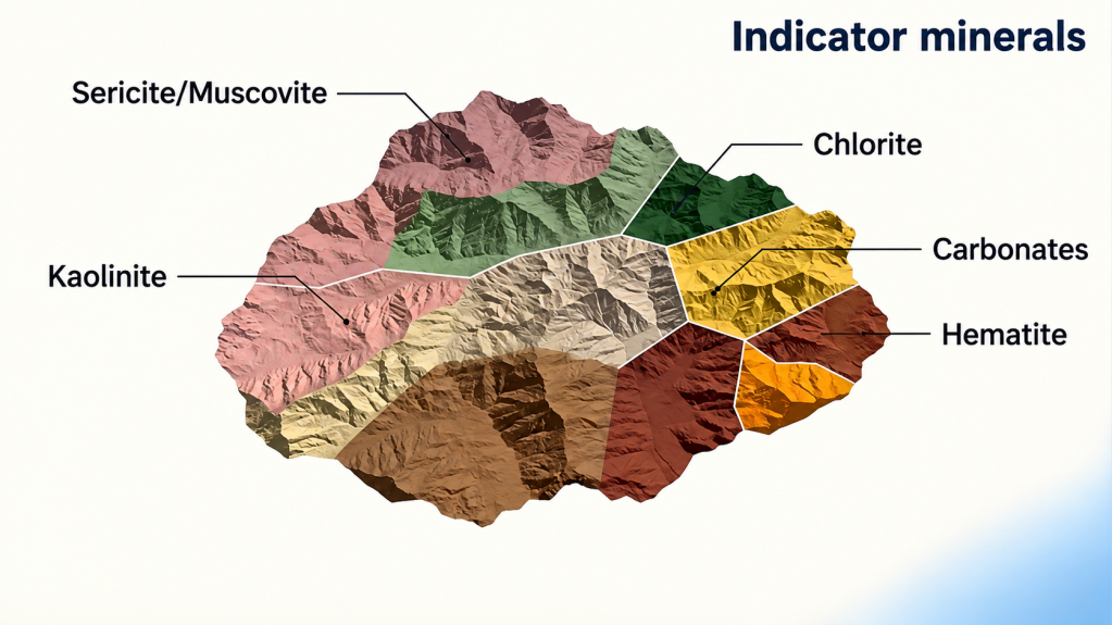
Multispectral and hyperspectral satellite and aerial imagery make it possible to identify minerals by their spectral “signatures” in the visible, near-infrared, and short-wave infrared ranges. Hyperspectral imagery is the most informative, as it records reflected radiation in hundreds of narrow bands and provides a detailed spectral profile of the surface. This makes it possible to distinguish between mineral groups with similar compositions, including rock-forming minerals and the products of their hydrothermal alteration.