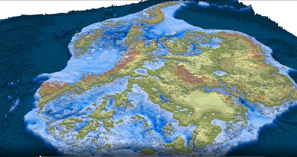
The deepest point on the continental Earth has been discovered in East Antarctica under the Denman Glacier. This ice-filled canyon is 3,500 meters below sea level. There are deeper troughs only in the ocean. For 10 years, scientists from the University of California have been receiving and processing radar data from satellites to create an accurate digital elevation model of Antarctica, but unexplored areas remain - mostly ice accumulations more than 1,000 meters thick. The satellite's radar signal cannot penetrate ice of such thickness.
In this case, scientists use another method. If it is known how much ice is entering a narrow valley and how fast it is moving, the volume of that ice can be determined, giving an idea of the depth and roughness of the hidden valley floor. For the 20-km-wide Denman Glacier, which flows to the ocean on Queen Mary Land, this approach shows that the ice descends to more than 3,500 m below sea level.
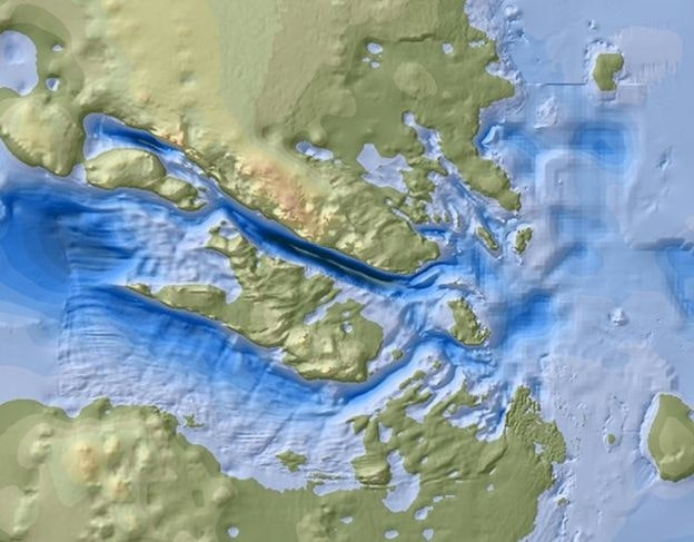
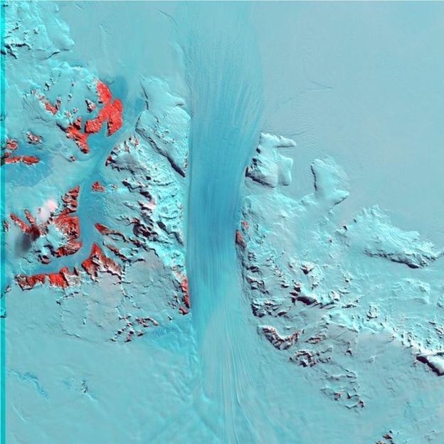
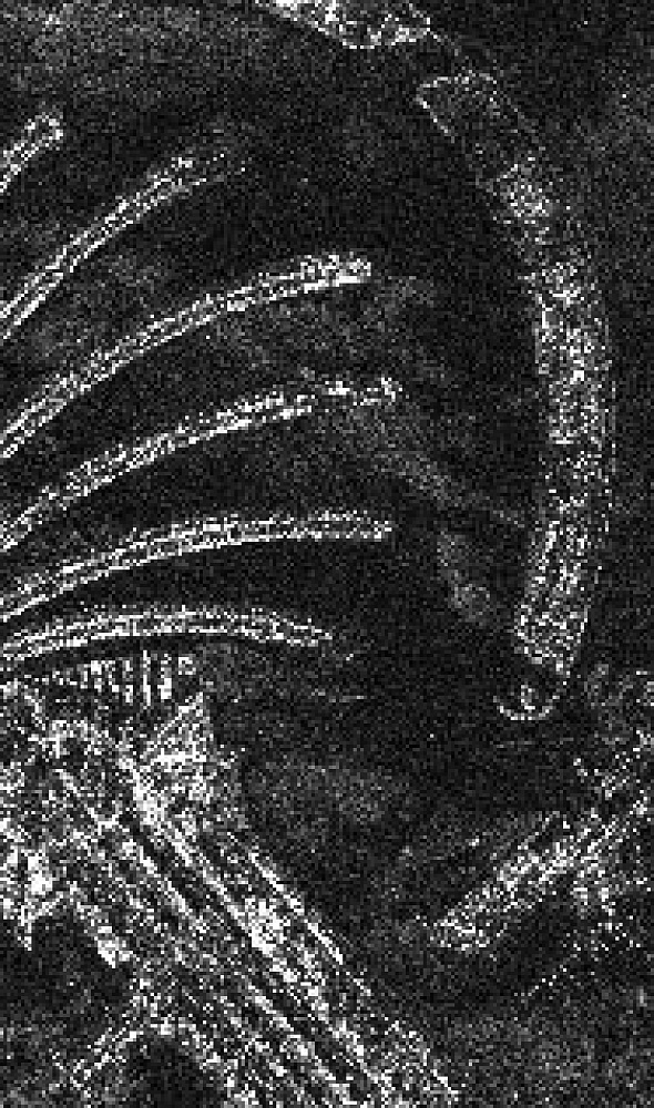
Fig. 1 Image of the Denman Glacier