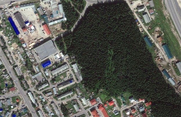
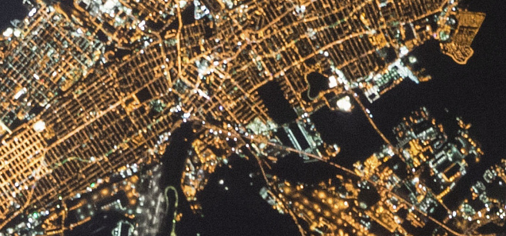
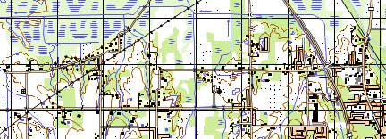
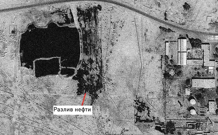
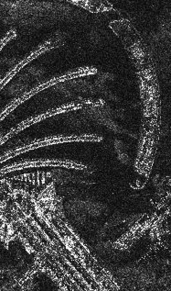
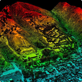
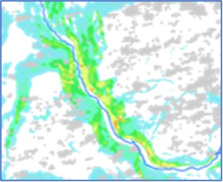
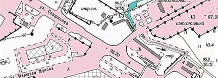
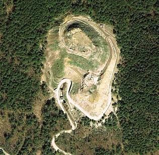
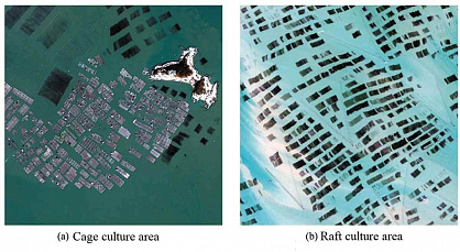
The development of oil and gas fields is viewed as the creation of a unified complex of necessary facilities and includes the design, construction, operation, conservation, and decommissioning of oil and gas extraction facilities. Remote sensing data (RSD) play an important role in the design and construction of production wells to ensure the industrial development of fields. Conducting a set of mine surveying and geophysical works involves the use of large-scale topographic maps, which also need to be updated, similar to geological exploration.
The regulations for compiling project technological documents for the development of oil and gas fields provide for the use of RSD when creating targeted geological and field models at all stages of geological exploration and field development, as well as as baseline information for creating digital geological and filtration models. With the use of RSD, schemes for the location of fields on the terrain can be created, indicating major water arteries, settlements, and routes of oil and gas pipeline communications. Engineering and geodetic surveys involve creating the following cartographic materials using RSD:
- Updating topographic and engineering-topographic plans.
- Creating engineering-topographic plans (in graphic, digital, photographic, and other forms), profiles, and other topographic-geodetic materials and data.
- Creating and maintaining enterprise GIS.
- Creating and updating thematic maps, plans, and atlases for special purposes (in graphic, digital, photographic, and other forms).
- Creating a topographic base and obtaining geodetic data for local area monitoring.
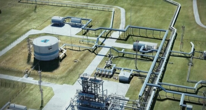
In the course of the development, arrangement, and operation of oil and gas fields, continuous construction, reconstruction, and dismantling of field facilities and engineering communications are carried out. In this regard, there is a need to update and compile special plans reflecting the current state of the territory. The initial data for performing this work include decryption standards, archival cartographic materials, as well as archival and current materials from aerial and space surveys.