Operation mode:
Mon-Fri: 10:00 - 18:00
Sat-Sun: Non-working days
In this paper, a study of the differentiated Bushveld complex (South Africa) is carried out on the basis of remote cosmic and gravimagnetic methods.
The article shows the possibility of using Landsat 7 ETM + multi-zone space imagery and brightness characteristics to predict platinum mineralization in new promising areas. Analysis of the values of the gravitational field showed that in the area under study, platinum mineralization is concentrated in a fairly narrow range of values, which makes it possible to use this data as a search feature.
The main conclusions have been formulated and the possibilities of the Landsat 7 ETM + multi-zone space survey to forecast platinum mineralization in new promising areas have been clearly demonstrated. The conducted studies prove the efficiency of the integration of remote (space and geophysical) to improve the approach to prospecting for platinum-copper-nickel mineralization.
Keywords: multispectral satellite imagery, gravimetric and magnetometric data, PGE deposit, search features, Bushveld Complex

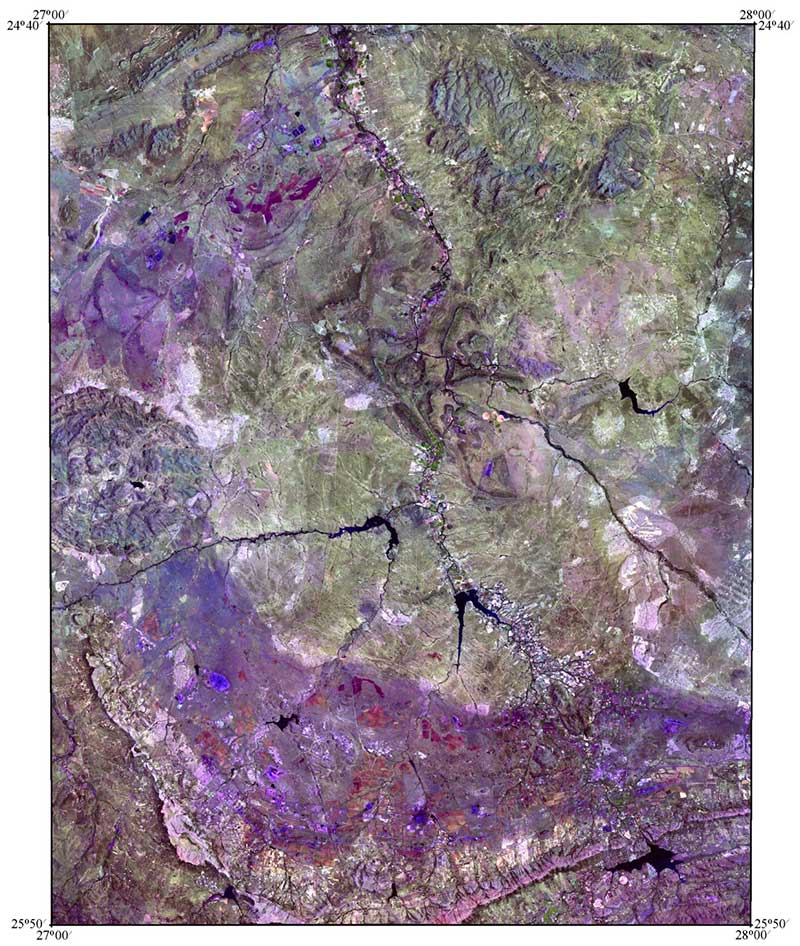
The central part of the Bushveld complex in the RGB color model (channels 7, 5, 3) КС LANDSAT 7 ETM+

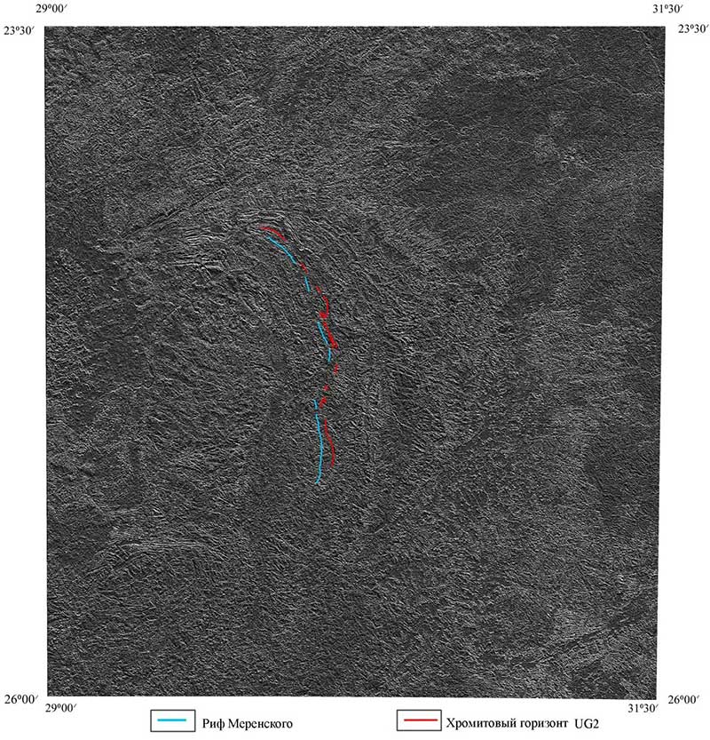
The results of processing the space image of the Eastern Bushveld 5th range (Topographic Modeling – Sheded Relief)

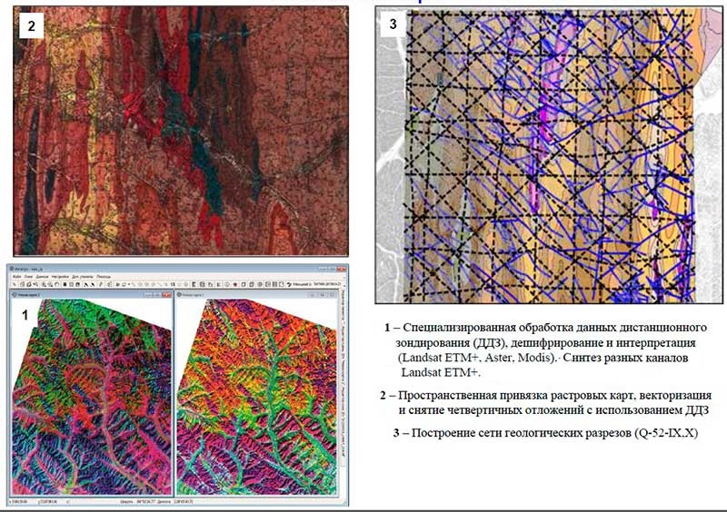
Construction of the structural surfaces of the sedimentary (folded) cover on the geological map

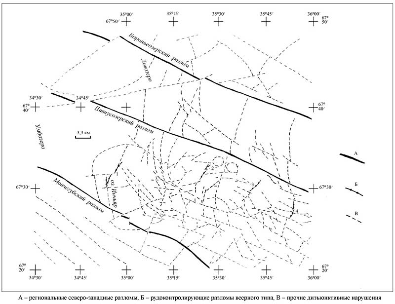
Structural-tectonic scheme of the Monchegorsk ore region
