Introduction
Urban planning is the process of developing and implementing strategies and plans aimed at improving the use of urban areas, ensuring economic development, and enhancing the quality of life for city dwellers. Urban planning may involve the regulation of land and building rules, the development of transportation systems, population distribution, economic development, environmental protection, the creation of spaces for citizen interaction, and much more. Urban planning plays a crucial role in creating sustainable cities that can be socially, environmentally, and economically resilient. It helps maintain a balance between economic growth and the quality of life for urban residents and addresses challenges related to climate change, population growth, and economic globalization.
Contemporary global urban planning projects are focused on utilizing new technologies and innovative approaches to enhance the urban environment and improve the quality of life for city dwellers. They include the use of Earth remote sensing data, big data analytics, the Internet of Things, and other technologies to manage urban infrastructure, enhance security, improve transportation accessibility, and reduce negative environmental impact.
Remote Sensing Methods in Urban Planning
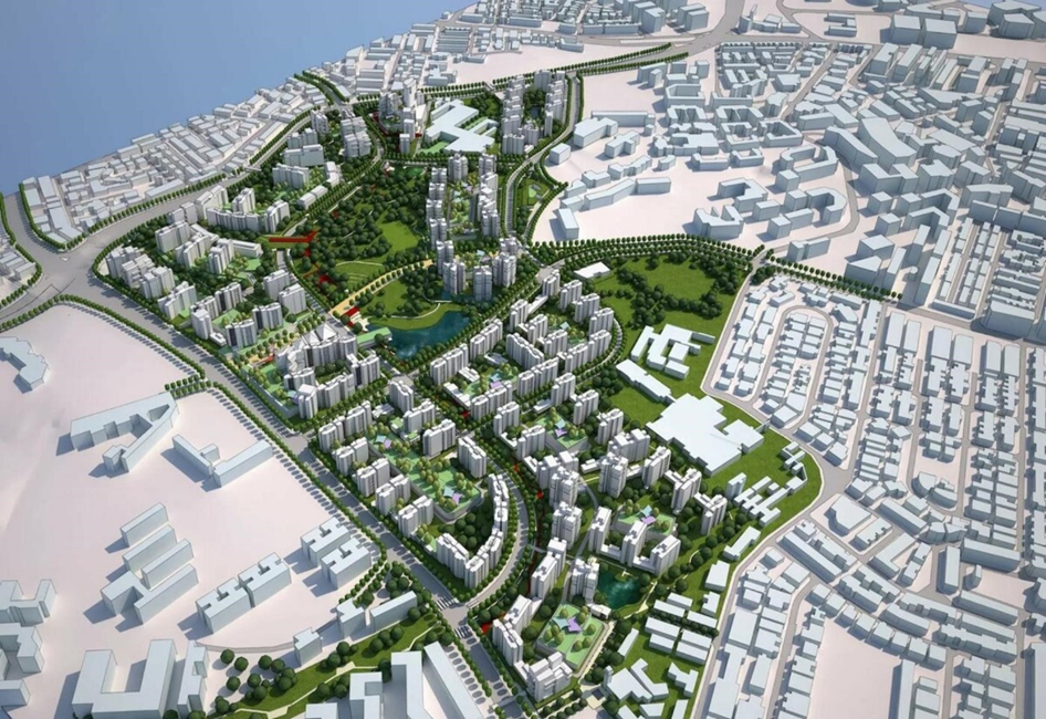
Aerial Photography is a method of obtaining images of the Earth's surface using cameras mounted on aircraft or unmanned aerial vehicles. These images can be used to create maps and plans of cities, which can be beneficial in urban planning.
Aerial photography can assist in urban planning in the following areas:
- Studying the terrain to identify its features, such as relief, rivers, lakes, forests, etc. This can help urban planners determine how to use the land and what measures need to be taken to protect it.
- Planning transportation infrastructure, such as roads, bridges, railways, etc. Images can help identify the most efficient routes and locations for building new roads and bridges.
- Urban development planning, such as constructing new buildings and residential complexes. Images can help identify the most suitable locations for construction and understand how new buildings will fit into the environment.
- Assessing environmental risks, such as air and water pollution, hazardous waste, etc. Images can help identify pollution sources and assist urban planners in taking measures to reduce risks.
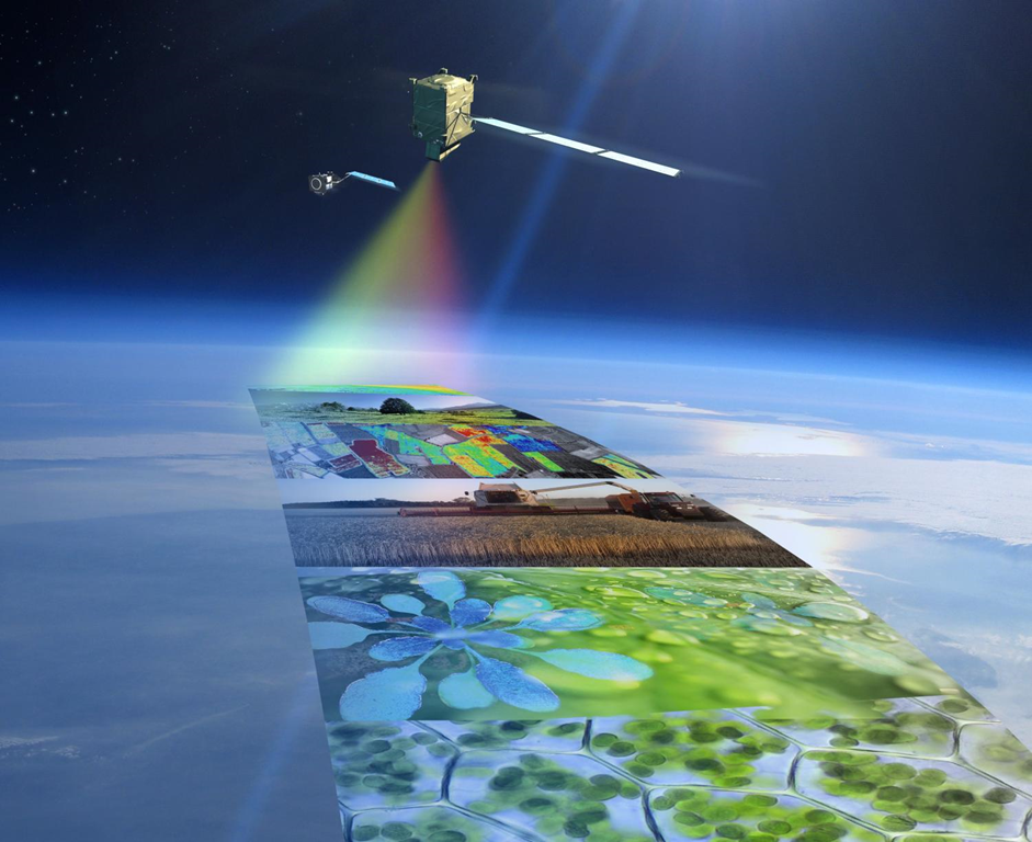
Satellite Remote Sensing (SRS) plays a crucial role in urban planning by providing valuable data and information for analysis and decision-making. Here are some examples of using SRS in urban planning:
- SRS allows the creation of detailed maps of urban development, which can be used for planning new projects and updating existing ones. For example, it helps determine the boundaries of urban areas, assess population density, and identify problem areas, such as areas with low levels of amenities.
- Monitoring changes in urban development. Satellites can detect illegal construction, changes in land zoning, and unauthorized alterations in urban development. Such monitoring helps ensure compliance with planning regulations and increases the efficiency of urban resource management.
- Assessing ecological sustainability, satellite images can identify green areas, assess air and water quality, and identify natural resources and environmental threats. Such data can aid in developing sustainable development plans for cities and taking measures to reduce negative environmental impact.
- Urban planning for projects. Satellite imagery helps determine the most suitable locations for construction, considering factors such as transportation accessibility, existing infrastructure, and environmental conditions.
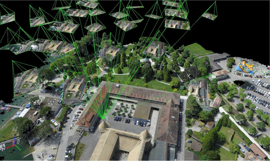
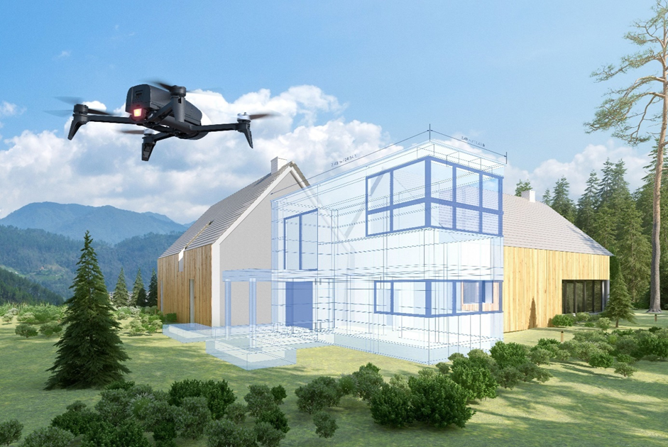
The use of UAVs (Unmanned Aerial Vehicles) in urban planning can be very beneficial. UAVs can be used to collect data on urban infrastructure, land use, transportation systems, residential and commercial development, as well as to assess social and economic conditions in the city.
- Using UAVs can provide high-quality photos and videos from bird's-eye view, allowing for a more comprehensive understanding of the urban environment and its features. This data can be used to create three-dimensional models of the urban environment, which can be utilized for analysis and urban infrastructure planning.
- UAVs can also be used to monitor the condition of urban infrastructure such as roads, bridges, buildings, and other structures. This enables the quick detection of damages and issues, such as cracks, deterioration, and other damages, facilitating prompt remedial actions.
- Additionally, UAVs can be employed to assess the environmental situation in the city, such as monitoring air and water quality, as well as detecting and analyzing environmental pollution.
The use of remote sensing methods in urban planning can significantly enhance the quality of data and provide more accurate and complete information about the urban environment. This allows for more informed decision-making in urban infrastructure planning, creating more sustainable, safe, and comfortable cities.
Regardless of the sensing method, all images must meet the same requirements:
- Resolution. Images must have sufficiently high spatial resolution to provide detailed images of the urban environment, down to 1 meter. This enables the identification of various objects and features, such as buildings, roads, parks, public transportation stops, and other infrastructure elements.
- Multi-channel. Images should provide information in various spectral ranges (visible and infrared spectra) for the use of different vegetation and other indices. Different indices allow obtaining data on different types of land cover: vegetation, water bodies, soil, and other elements of the urban environment. This ensures the possibility of analyzing and classifying various types of land cover.
- Temporal frequency. Images must be available at different time periods. This allows tracking changes in the urban environment over time and monitoring various processes, such as city expansion, land use change, changes in building structures, and other factors that may impact urban planning.
- Image quality. Images must be of high quality with minimal noise, cloud cover, and distortions. Clearer and cleaner images provide more accurate and reliable data interpretation and analysis results.
Considering these requirements, urban planning using remote sensing can obtain up-to-date and detailed information about the urban environment, helping make more informed decisions regarding the development and improvement of urban infrastructure.
Project GEOURBAN
Territorial management is a dynamic process, and the pursuit of efficient and sustainable urban development requires the improvement of methods, exploration of alternative solutions, and the creation of new observation tools using current spatial information about the city. Currently, sources of such information include statistics, geodesy, and cartography. However, the methods used for data processing often lead to relatively coarse spatial and temporal results or are material and labor-intensive.
The increasing number of remote sensing methods (hereinafter - RS) opens up new opportunities for creating advanced tools that support planning and decision-making for urban territory management by local authorities and provide spatial data about the territory to stakeholders, including urban planners, architects, designers, investors, developers, cadastral engineers, etc. The integration of various data sources and their joint processing enhances the quality and informativeness of results obtained using this data.
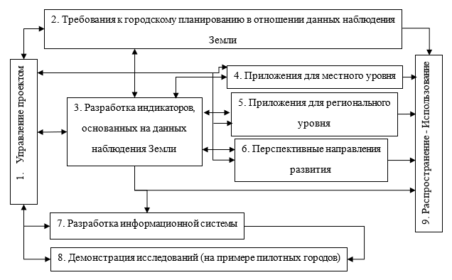
Figure 1. GEOURBAN Methodology
The GEOURBAN project was created to establish multidimensional scientific cooperation between Russia and the European Union countries and seven associated countries within the ERA.Net-RUS program. To implement the GEOURBAN project, three cities with different typologies were selected as pilot cities: Tyumen (Russia), characterized by a continental climate and dynamic political changes over the past two decades; the Mediterranean city of Tel Aviv (Israel); and the central European city of Basel (Switzerland), where cooperation between Earth observation scientists and urban planners has been established.
The project's goal is to use comprehensive approaches and unite scientists in the field of Earth observation and urban planners by demonstrating the capabilities of modern monitoring systems to display parameters of urban planning situations and the quality of urban ecology over large areas with a high level of detail.
GEOURBAN project tasks:
- Analyze the requirements for RS data, identify sources of this data, and methods of processing for use in the process of managing the development of the territory, using the example of pilot cities;
- Analyze the potential use of results from space activities in the process of managing territorial development;
- Select indicators obtained based on RS data reflecting the state of the urban environment;
- Create a web-oriented information system (hereinafter - IS) to automate the process of calculating indicators and demonstrate the developed IS using pilot cities as examples.
Key achievements of the first stage of the project:
- Conducting regular community meetings to identify the needs of prospective users of the IS;
- Formulating a list of indicators reflecting the quality and development of the urban environment;
- Obtaining results based on the processing of space activity data and using them to calculate indicators;
- Developing a prototype of the GEOURBAN IS.
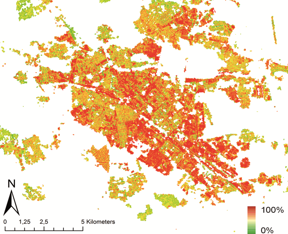
Figure 2. Surface Imperviousness Percentage for Tyumen
(RS Satellites - RapidEye and TerraSAR-X)