



Search the site
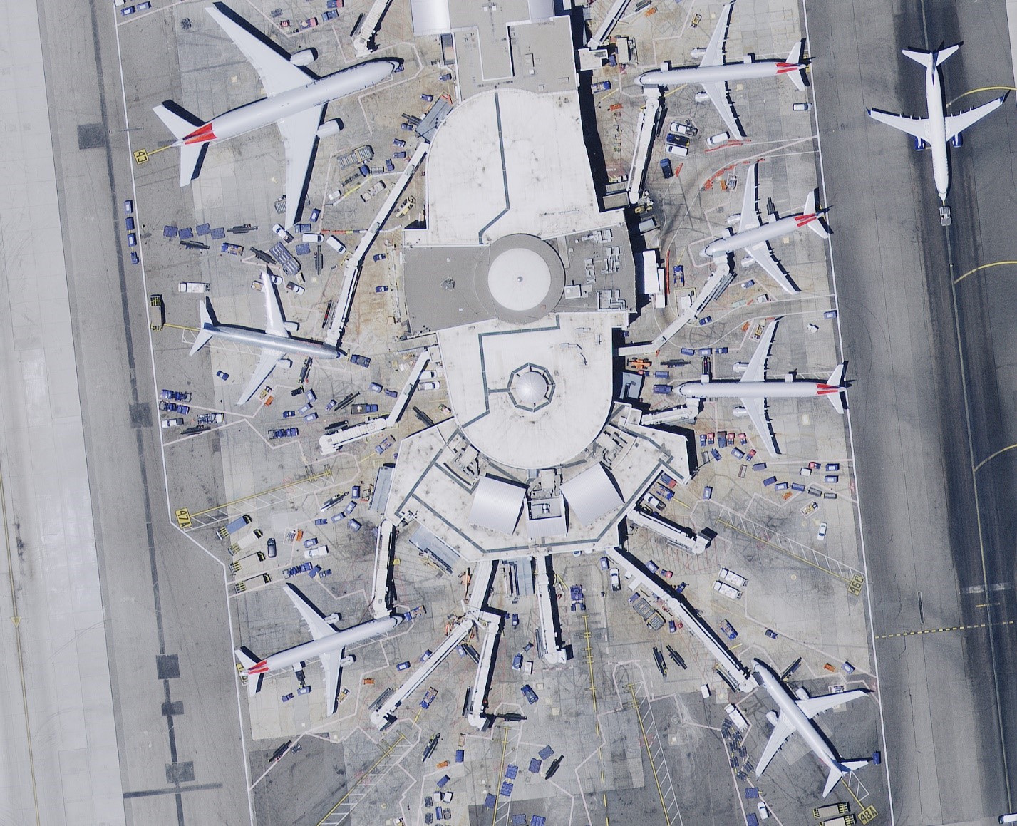
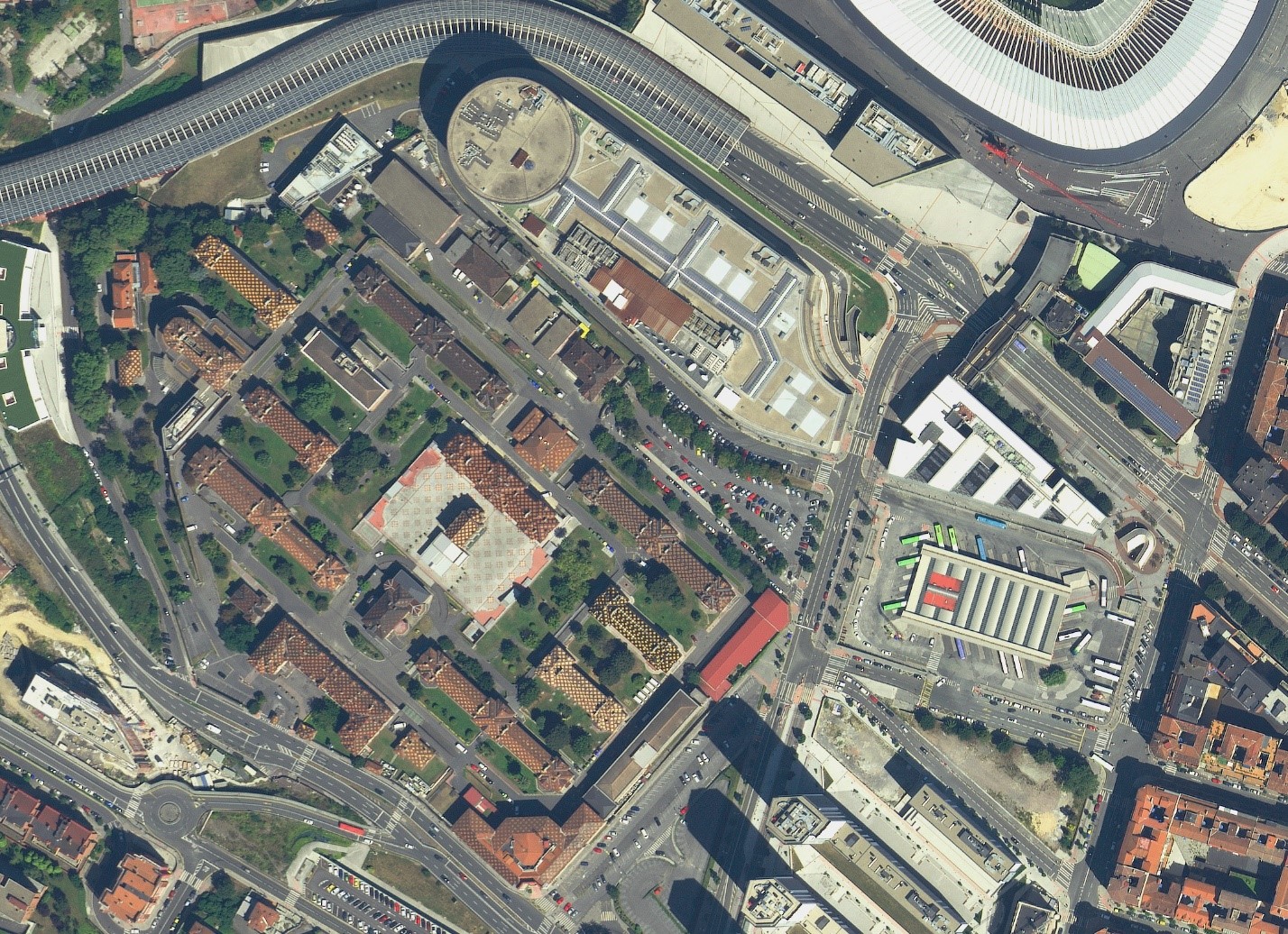
GEO INNOTER LTD in cooperation with Hexagon offers a new product for solving geospatial tasks - archival UAV imagery. In some cases the accuracy and detail of space imagery may be insufficient, and there is no time to wait for the survey. And then Hexagon and GEO Innoter can provide archival imagery with resolution from 15 cm.
GEO INNOTER LTD in cooperation with Hexagon offers a new product for solving geospatial tasks - archival UAV imagery. In some cases the accuracy and detail of space imagery may be insufficient, and there is no time to wait for the survey. And then Hexagon and I can provide archival imagery with resolution from 15 cm.
Just like with satellite imagery, we update our aerial photo database daily to ensure that you receive the most up-to-date results every time you search with us.
Aerial Imagery Specifications:
Image resolution – from 15 to 30 cm (8-bit color and CIR layers)
Coverage geography – Europe and the United States
Positional accuracy – from 0.7 to 2.6 meters (CE90%)
Minimum sun angle – 30 degrees
Cloud Cover – mainly 0%, we encourage you to find a cloud!
Camera system – Leica ADS100
Archive availability: 4,500,000 sq. km – 30 cm, 200,000 sq. km – 15 cm.
To order archival aerial photography from unmanned aerial vehicles, please send your requests to our email address: innoter@innoter.com
GEO INNOTER LTD in cooperation with Hexagon offers a new product for solving geospatial tasks - archival UAV imagery. In some cases the accuracy and detail of space imagery may be insufficient, and there is no time to wait for the survey. And then Hexagon and I can provide archival imagery with resolution from 15 cm.
Need satellite imagery or help choosing the right data?
Describe your task, area of interest, and desired outcome. We will check data
availability, assess new acquisition options, and propose the optimal solution in terms of timelines, cost,
and quality.
Discuss the project
clients who trust us
25+ years in the geodata market






