your companion in the world
of geospatial solutions
Operation mode:
Mon-Fri: 10:00 - 18:00
Sat-Sun: Non-working days
+7-495-245-04-24
+7-916-352-39-41
innoter@innoter.com
+7 495 245-04-24
Contact us
Call me back
Contact via e-mail
Order an image
Contacts
Рус
Eng
Products
Services
Industries
Projects
Articles
Company
Satellites
Geoiformation services
Advanced Elevation Series
Digital Globe's Global Basemap service
All products
Spatial data
Remote sensing data
Ordering space imagery. Satellite imagery
Satellite surveying
Radar imagery (radar images)
Aerial photography (ASF / UAV)
Night photography from space
Imagery from russian satellites
Laser scanning (LIDAR)
Digital elevation models
Digital terrain models
All products
Software
ArcGIS family products
ERDAS IMAGINE
ERDAS APOLLO
All products
Remote sensing data
Satellite & UAV Monitoring
All products
Remote sensing data
Satellite imagery. Satellite data
SAR imagery (Radar satellite data)
Remote sensing data
Aerial & UAV imagery
LIDAR Aerial Survey
All services
Photogrammetry
Photogrammetric processing (Image Processing)
Orthoimagery (Orthorectification)
Seamless orthophotomosaic creation
Digital elevation models (DEM)
Digital terrain models (DTM)
All services
Cartography
Digital Topographic Maps
3D City Modelling (Digital twins)
Thematic mapping
High definition (HD) maps for autonomous vehicles
Digital Maps For Telecom (RF Map)
All services
Thematic analysis
Remote sensing imagery Interpretation & spectral analysis
Digital agriculture mapping (Crop monitoring)
Oil prospecting. Oil and gas exploration
Forest inventory
Mineral Exploration / Geological Mapping
All services
Monitoring
Satellite & UAV Monitoring
Oil spill detection
Land displacement monitoring (InSAR Ground Deformation Monitoring)
Infrastructure Change Detection (PIPELINE Monitoring)
Environmental Monitoring
All services
Expertise
Satellite Imagery as Evidence in legal proceedings
Forensic aerial photography
Transportation accessibility analysis
Expert report
All services
Geographic Information Systems development and implementation
GIS development
Geoportals development
All services
Other
Geological modelling. Geomodelling
Seismic microzonation (Subsurface Imaging)
3D and 4D modelling
Topographic and geodetic surveying
All services
Oil and gas
Geology and mining
Telecom
Forestry monitoring
Agriculture
Banking and Insurance
Defense and Geospatial Intelligence
Ecology and conservation
Land use and territory management
Emergency monitoring
Energy
Mapping
Transport infrastructure
Water management
Oil and gas
Geology and mining
Telecom
Forestry monitoring
Agriculture
Ecology and conservation
Forensic expertise
Land use and territory management
Mapping
Transport infrastructure
Water management
Energy
collapse menu
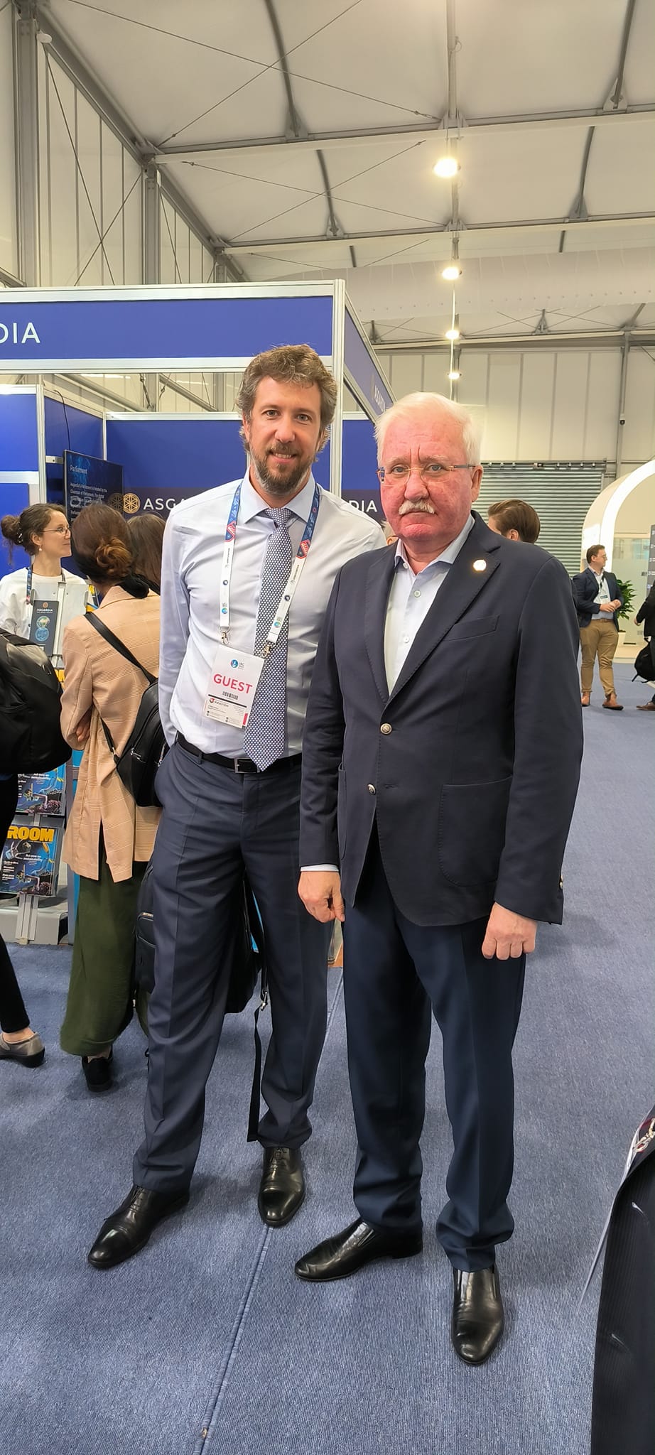
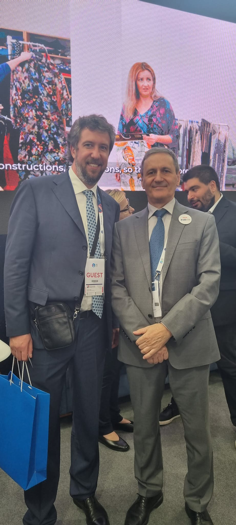
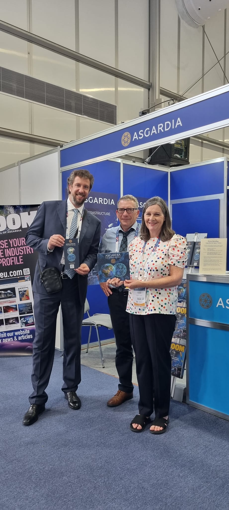
Traveling to Baku and the 74th International Astronautical Congress: Impressions from the Asgardia Space Republic
W
Prev
Next
Main menu
Products
Geoiformation services
Advanced Elevation Series
Digital Globe's Global Basemap service
Spatial data
Remote sensing data
Aerial photography (ASF / UAV)
Laser scanning (LIDAR)
Satellites
Digital elevation models
Digital terrain models
Ordering space imagery. Satellite imagery
Radar imagery (radar images)
Night photography from space
Imagery from russian satellites
DTM generation
Topographic, thematic and special purpose maps
Digital surface model
AW3D Enhanced
AW3D Ortho Imagery
AW3D Building
Software
ArcGIS family products
ERDAS IMAGINE
ERDAS APOLLO
Remote sensing data
Services
Remote sensing data
Satellite imagery. Satellite data
Aerial & UAV imagery
SAR imagery (Radar satellite data)
Imagery from russian satellites
LIDAR Aerial Survey
Photogrammetry
Photogrammetric processing (Image Processing)
Digital orthoimagery (Orthorectification)
Seamless mosaics
Digital elevation models (DEM)
Digital terrain models (DTM)
Cartography
Digital Topographic Maps
3D City Modelling (Digital twins)
Thematic mapping. Thematic map
High definition (HD) maps for autonomous vehicles
Digital Maps For Telecom (RF Map)
Thematic analysis
Remote sensing imagery Interpretation & spectral analysis
Digital agriculture mapping (Crop monitoring)
Oil prospecting. Oil and gas exploration
Forest inventory
Mineral Exploration / Geological Mapping
Monitoring
Oil spill detection
Land displacement monitoring (InSAR Ground Deformation Monitoring)
Infrastructure Change Detection in GIS. Change point detection (PIPELINE Monitoring)
Environmental Monitoring
Onshore oil spill Monitoring
Expertise
Satellite Imagery as evidence in legal proceedings
Forensic aerial imagery
Transportation accessibility analysis
Forensic Imagery Analysis (Expert Opinion)
Assessment of insurance risks
Geographic Information Systems development and implementation
GIS development
Geoportals development
Other
Geological modelling. Geomodelling
Seismic microzonation (Subsurface Imaging)
Topographic and geodetic surveying
Industries
Oil and gas
Geology and mining
Telecom
Forestry monitoring
Agriculture
Banking and Insurance
Defense and Geospatial Intelligence
Ecology and conservation
Land use and territory management
Emergency monitoring
Energy
Mapping
Transport infrastructure
Water management
Projects
Oil and gas
Geology and mining
Telecom
Forestry monitoring
Agriculture
Ecology and conservation
Forensic expertise
Land use and territory management
Mapping
Transport infrastructure
Water management
Energy
Articles
Company
Satellites
Contact us
Call me back
Contact via e-mail
Order an image
Contacts
Language site
Русский
English
Operation mode:
Mon-Fri: 10:00 - 18:00
Sat-Sun: Non-working days
+7-495-245-04-24
+7-916-352-39-41
innoter@innoter.com
Order online
Request a call back
Request a call back
Back to page top
Call me back
Close
Full Name*
Company
Incorrect phone number
Contact phone*
By clicking the «Send» button, you give your consent to the processing of your personal data, in accordance with Federal Law No. 152-FZ of July 27, 2006 «On Personal Data», on the conditions and for the purposes specified in the Consent to the processing of personal data.
Contact via e-mail
Close
Full Name*
Company
Incorrect phone number
Contact phone*
E-mail*
Comment
By clicking the «Send» button, you give your consent to the processing of your personal data, in accordance with Federal Law No. 152-FZ of July 27, 2006 «On Personal Data», on the conditions and for the purposes specified in the Consent to the processing of personal data.
Order an image
Close
Upload file in formats .shp, .tab, .kml/kmz (as a zip, rar, 7z archive) or text file in the formats (word, txt, excel) with a list of coordinates. Specify the name of the territory.
Upload file
The maximum size of single file is 5MB
Specify the data type, shooting modes, shooting periods, application areas, etc. Formulate your wishes in free form.
Order parameters
Full Name*
Incorrect phone number
Contact phone*
E-mail*
For what tasks*
By clicking the «Send» button, you give your consent to the processing of your personal data, in accordance with Federal Law No. 152-FZ of July 27, 2006 «On Personal Data», on the conditions and for the purposes specified in the Consent to the processing of personal data.
Order software
Close
Full Name*
Incorrect phone number
Contact phone*
E-mail*
Software name*
For what tasks*
By clicking the «Send» button, you give your consent to the processing of your personal data, in accordance with Federal Law No. 152-FZ of July 27, 2006 «On Personal Data», on the conditions and for the purposes specified in the Consent to the processing of personal data.
Order TK
Close
Full Name*
Incorrect phone number
Contact phone*
E-mail*
Company*
City
By clicking the «Send» button, you give your consent to the processing of your personal data, in accordance with Federal Law No. 152-FZ of July 27, 2006 «On Personal Data», on the conditions and for the purposes specified in the Consent to the processing of personal data.
Your application is accepted
Close
We will contact you during working hours.
Выбрать город
Close
Россия
Волгоград
Вологда
Воронеж
Донецк
Екатеринбург
Иваново
Казань
Калуга
Кострома
Краснодар
Красноярск
Луганск
Москва
Нижний Новгород
Новосибирск
Омск
Пенза
Пермь
Ростов-на-Дону
Самара
Санкт-Петербург
Смоленск
Тамбов
Тула
Уфа
Челябинск
Ярославль
Другие страны
Актау
Актобе
Алматы
Астана
Атырау
Баку
Бишкек
Ереван
Караганда
Кишинёв
Павлодар
Петропавловск
Таджикистан
Тбилиси
Шымкент
Белоруссия
Бобруйск
Брест
Минск