Operation mode:
Mon-Fri: 10:00 - 18:00
Sat-Sun: Non-working days
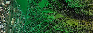
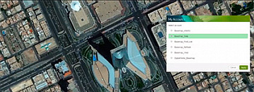
Geoinformation services (geoservices) are information resources which offer to user different tools for geodata processing. Usually, geoservices exist as an independent product or as a plugin. Geoservices provide certain scripts of data usage and functions for data uploading, storage, processing and analysis. Geoinformation services help with regular space monitoring of environment, agriculture, forestry; with modelling, planning, etc.


