A digital surface model (digitized map) is a three-dimensional representation of the heights of the Earth's surface, including natural or man-made objects located on it.
The main data sources for creating digital surface models, digitized map and 3D modeling are:
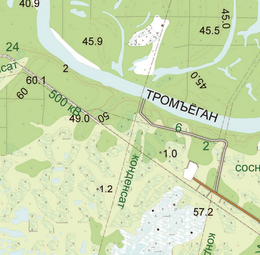
- topographic map-provides a geographic reference that stores coordinate and elevation information about terrain features such as terrain, buildings and structures, roads, rivers, land-use contours, administrative boundaries, and so on.
- Remote sensing materials obtained in stereo mode are used to create digital surface models and orthophotos.
- a cloud of points obtained by laser scanning
The orthophoto and topographic map are used to obtain the contour of the buildings. Ground-based photos of each individual building from multiple points of view are necessary to build a photorealistic 3D model of the buildings.
The digital surface model is used in a variety of planning, analysis, visualization, and modeling applications, including:
- localities for various purposes (urban planning, architectural planning, tourism, virtual tours, etc.),
- navigation systems,
- intelligent transport systems,
- forecasting of urban risks;
- telecommunications-positioning of mobile phone transmitters;
- in the mapping of flood risk.
To calculate the cost of generating a DSM model for the area you are interested in, send the technical description of your offer to: innoter@innoter.com. For advice, as well as the development of technical specifications for the creation of a customized DSM model, please call: +7 495 245-04-24, or telegram / whatsapp

The Innoter company provides DEMs with high resolution and accuracy. We can customize DTMs and DSMs to your needs.