Operation mode:
Mon-Fri: 10:00 - 18:00
Sat-Sun: Non-working days
Project's objective
Creation of digital models in height to the work areas, using nomenclature of topographic sheets in 1:50 000 scale for internal use by the customer.Work description
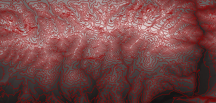
Digital elevation models were prepared for work areas specified in the terms of reference, based on data from global digital elevation models, as well as available planning and elevation information about the terrain. The digital elevation model was created in the Customer’s coordinate system (SK-42) and met the following requirements:
- The cell size of the digital model of heights should be no worse than 30 meters.
- The standard deviation of the height of the digital model of heights should not exceed 3.5 m.
- The file format of digital elevation models is GeoTIFF.

DEM in raster view with drawn contours.
At the final stage, digital models of heights were cut into fragments agreed upon within the boundaries of the areas specified in the terms of reference. According to the results of the preparation of digital elevation models, the customer was provided with a technical report on the accuracy of the prepared digital elevation model.
Results
As a result of the contract, the customer received a volume of data (digital elevation models) corresponding to 15 sheets of item sheets of 1: 50000 scale.Need for consultation?
Fill the form and we will contact you
