Completed works
The staff of Innoter LLC ordered a digital model of the entire earth's surface, providing full coverage in latitude – from 83° north to 83° south and full coverage in longitude - from 180° west to 180° east. The ALOS World 3D digital model – 30m (AW3D30) of the Japan Center for Remote Sensing Technology (RESTEC) and NTT DATA Corporation was chosen as the main source of information.
In accordance with the customer’s technical specification, a digital surface model (DSM) was created as a model of the first reflective surface in accordance with the requirements of Annex 15 to the Convention on International Civil Aviation of the Air Navigation Information Service.
DSM was created in the international coordinate system WGS-84 in accordance with the requirements of ICAO Doc 9674 Guidance on the World Geodetic System – 1984 (WGS-84).
The obtained data was processed, the “holes” and incomplete data were replaced with actual data from alternative sources. DSM was linked in a single project. Additionally, certification measures and an accuracy study were carried out, which resulted in accompanying documentation in the form of technical reports.
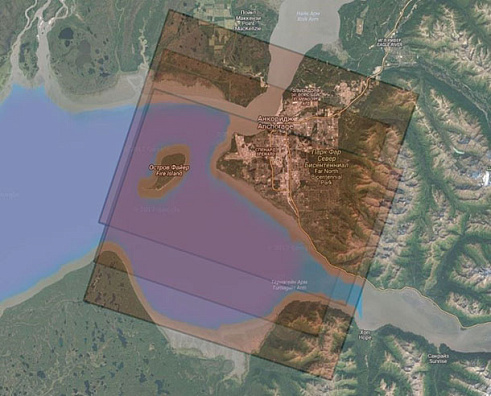
Example of stereoscopic coverage (triplet) of the territory uncovered by the original DSM
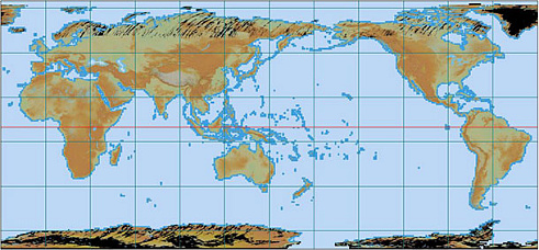
General look of the original AW3D30 DSM
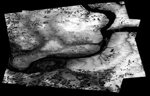
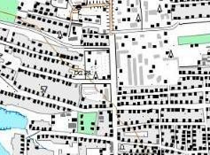
Fragment obtained as a result of processing DSM, the reference area for conducting research on accuracy (Perm and its environs).