Sat-Sun: Non-working days
Customer
ROSATOM State Corporation
Project's objective
Creating a digital cartographic background on the territory of the Russian Federation, working out and adding attribute information to vector layers
Work description
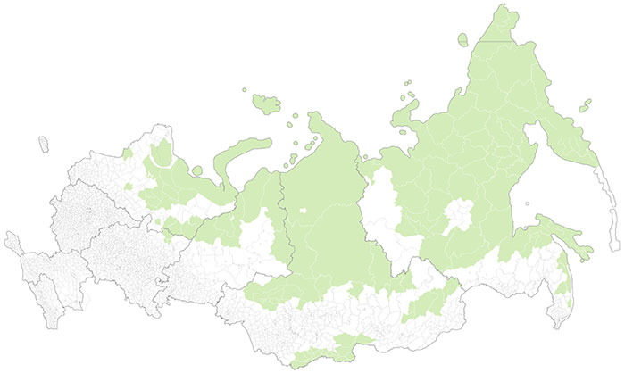
1. As a result of the service, a digital cartographic background for the regions of the Russian Federation was created. The substrate was designed in a GIS project in the Esri ArcGIS 10.5 format. The data is provided in the Esri shapefile format in the WGS 84 projection.
Composition of the digital map substrate:
- Regional borders and administrative divisions of the Russian Federation – polygonal type of geometry;
- Localities with a population of 500 or more – point geometry type;
- Objects of the mining and manufacturing industry with an annual revenue of 500 million rubles per year – point type of geometry;
- Energy objects (electrical generation) - point type of geometry;
- Road network – linear type of geometry;
- Railway network – linear type of geometry.
2. Description of the content of the layers
- Regional borders and administrative divisions of the Russian Federation are represented in 4 layers – Russia, Federal Districts, Regions, and municipalities. Layer attributes: Geometry type, Name, Administrative Division level, OKTMO code (for regions and municipalities).
- Localities with a population of 500 or more were represented in 154 layers, with 1 layer for each municipality. Layer attributes: Geometry Type, Name, Population, OCTMO Code. The population for cities and urban-type settlements is relevant for 2018, for villages for 2014.
- Mining and manufacturing facilities with an annual revenue of 500 million rubles per year were presented in 154 layers, with 1 layer for each municipality. Layer attributes: Geometry type, Activity type, Revenue in millions of rubles. Revenue up-to-date from 2013 to 2018
- Energy facilities (electric generation) were presented in 154 layers, with 1 layer for each municipality. Layer attributes: Geometry type, Name, Type, Installed capacity in MW. The installed electric capacity is relevant no later than 5 years, mainly for 2018.
- The road network was presented in 154 layers, with 1 layer for each municipality. Layer attributes: Geometry type, Road level. This layer contains highways up to and including Class IV.
- The railway network was represented in 154 layers, with 1 layer for each municipality. Layer Attributes: Geometry type

Fig. 1 Workflow chart
Results
As a result of the service, a digital cartographic basemap for the regions of the Russian Federation was created, which is designed in a GIS project in the Esri ArcGIS 10.5 format.
Need for consultation?
Fill the form and we will contact you
