Operation mode:
Mon-Fri: 10:00 - 18:00
Sat-Sun: Non-working days
Project's objective
Acquisition of Earth remote sensing data from the Pleiades satellite, as well as the creation of an orthophotomap on their basis to the territory of the vicinity of the settlement Klyuchevsky, Trans-Baikal Territory.Work description
In the framework of the agreement, Innoter LLC carried out the selection and delivery of archival shooting from the Pleiades spacecraft, the Primery processing level, color version, spatial resolution of 0.5 m. The area of interest was 44 square meters. km
Basing on the image, orthorectification was performed using space-based RPC-coefficients and the SRTM-90 public digital elevation model.

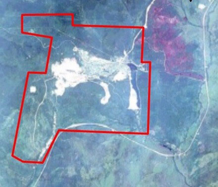
The layout of the area. Area – 44 sq. km.
Results
As a result of the order implementation, the necessary data were supplied from the Pleiades spacecraft, as well as work was performed on the creation of a digital orthophotomap.
Need for consultation?
Fill the form and we will contact you
