Contact

Creating orthophotomaps of 1:2000 scale in the framework of a municipal contract

01

About the project

Implementation of an aerial survey, creation of a stereophotogrammetric model of 1: 500 scale, creation of orthophotomaps of 1: 2000 scale in eight settlements of the city district of Revda.

Industry Land use and territory management
Customer

Administration of the city district of Revda

End date 05/31/2017
02

Project goal

Update topographic plans of the territory of the city district Revda

03

Completed works

1. Aerial photography works with a pixel projection size on the ground of not more than 0.10 m. Aerial photography was performed in the RGB spectral range, in frame shooting mode, with a longitudinal overlap between aerial photographs of 70-80%, with a transverse overlap of 50-60% of the equipment capture width on the ground. With the definition of the coordinates of photographing centers using GPS / GLONASS satellite positioning technology by a differential method.

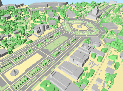
2. Creating a stereophotogrammetric model of a scale of 1: 500 with a height of the cross section of the relief after 1.0 m.

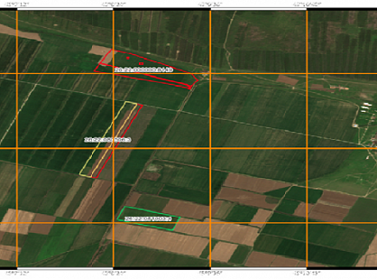
3. The creation of digital orthophotomaps of 1: 2000 scale included the following processes:

  • creation of a digital terrain model by the stereophotogrammetric method in PHOTOSCAN software with a step of 0.2 m;
  • creating stitching lines;

  • orthorectification of aerial photographs;

  • cutting orthophotomaps on nomenclature sheets.

In total, 189 digital orthophotomaps were created.


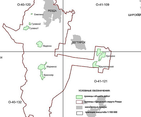
Cartogram of works

Картограмма работ ГО Ревда
04

Result

As a result of the work, the following materials were created:

  • digital orthophotomaps of a scale of 1: 2000, in the coordinate system MSC66, TIF format with binding files TFW;
  • digital stereophotogrammetric models of terrain on a scale of 1: 500, in the coordinate system MSC66, the Baltic system of heights, the format of the DFS PHOTOMOD.

Materials created on the territory of settlements of the city district Revda of the Sverdlovsk region: Mariinsk, Krylatovsky, Krasnoyar, Gusevka-1, Gusevka-2, Yemelino, Ledyanka, p. Kungurka within the boundaries agreed by the customer.

The implementation of the created materials in the working process of the Revda city administration in accordance with the Customer’s Technical Task has been completed.


Need satellite imagery or help choosing the right data?

Describe your task, area of interest, and desired outcome. We will check data availability, assess new acquisition options, and propose the optimal solution in terms of timelines, cost, and quality.
clients who trust us
25+ years in the geodata market
Request a call back
Back to page top
Мы используем Яндекс.Метрика и собственные Сookies для обеспечения наилучшего опыта работы на нашем сайте, персонализации сайта для наших пользователей и аналитики. Продолжая использовать сайт вы соглашаетесь с условиями Пользовательского соглашения.