Contact

Creation of an orthomosaic for the city of Rostov-na-Don

01

About the project

Creation of a digital orthophotomap of the area on the territory of the city for urban planning

Industry Land use and territory management
Customer

Department of Architecture and Urban Planning

End date 12/23/2019
02

Project goal

Creation of a digital orthophotomap of the area on the territory of the city for urban planning activities.

03

Completed works

  • Order and delivery of satellite imagery with an ultra-high spatial resolution of 50 cm from the KompSat-3 satellite.
  • Color correction, light correction, geometric correction by RPC coefficients, orthorectification by digital elevation model (DEM) AlosWorld DEM 3D-30m and customer's control points.
  • Issue of orthomosaics to the coordinate system of the Rostov region and creation of a seamless mosaic. Cutting into tiles.
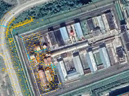
Original satellite image (left), orthorectified image (right)

04

Result

The created seamless mosaic meets the customer's requirements for urban planning activities.

Need satellite imagery or help choosing the right data?

Describe your task, area of interest, and desired outcome. We will check data availability, assess new acquisition options, and propose the optimal solution in terms of timelines, cost, and quality.
clients who trust us
25+ years in the geodata market
Мы используем Яндекс.Метрика и собственные Сookies для обеспечения наилучшего опыта работы на нашем сайте, персонализации сайта для наших пользователей и аналитики. Продолжая использовать сайт вы соглашаетесь с условиями Пользовательского соглашения.