your companion in the world
of geospatial solutions
of geospatial solutions
Operation mode:
Mon-Fri: 10:00 - 18:00
Sat-Sun: Non-working days
Customer
Mobile operatorProject's objective
Creation of a DTM for solving problems in the interests of the customer's activities: terrain assessment, orientation on the terrain, performing design and survey work, ensuring the construction and reconstruction of the infrastructure network, determining the coordinates of objects, calculating routes, calculating the coverage of a radio network, displaying network elements.
Completed work
Work description
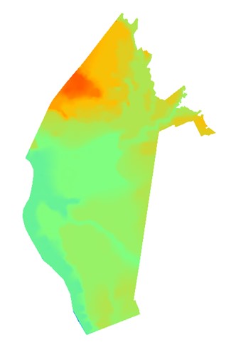
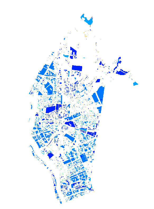
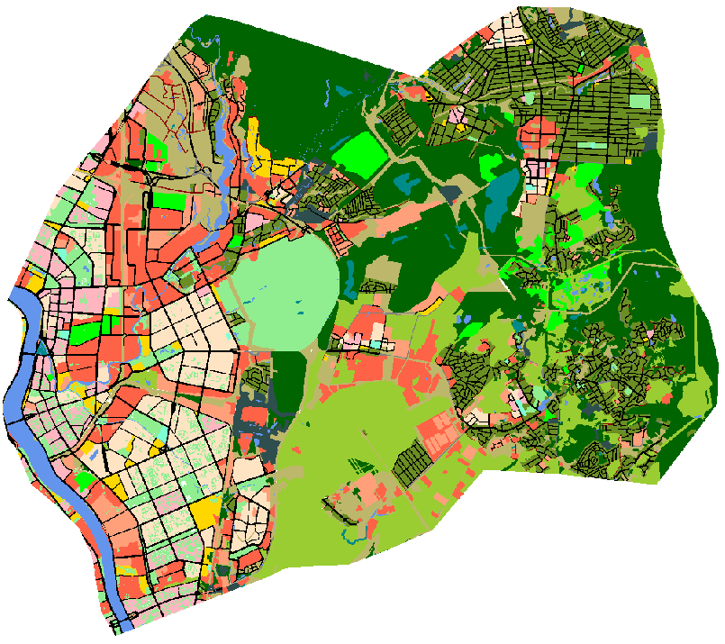
On the basis of remote sensing data, digital orthophotomaps (DPC) were created. Based on the received DPC, employees of the digital cartography department of LLC "GEO Innoter", in accordance with the Customer's Terms of Reference, prepared:- city vector 3D model;
- urban clutter 3D model;
- urban digital 3D model of the elevation;
- urban digital 3D model of obstacle heights. regional digital clutter model 2D.
Need for consultation?
Fill the form and we will contact you
Operation mode:
Mon-Fri: 10:00 - 18:00
Sat-Sun: Non-working days