Operation mode:
Mon-Fri: 10:00 - 18:00
Sat-Sun: Non-working days
Project's objective
Receiving archival space imagery at the site of the Punginsky deposit in the Khanty-Mansiysk Autonomous Okrug in the interests of the construction, design and exploration work of the client company.Work description
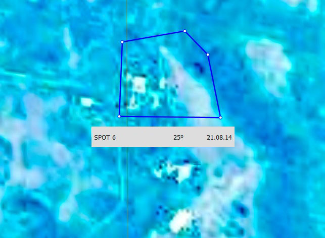
In accordance with the requirements of the customer, a space image with the SPOT-6 satellite with a spatial resolution of 1.5 m was selected for the territory of the Punginskoye field, covering 100% of the area of interest.

General scheme of the Punginsky field site
Results
In the interests of planning construction / engineering and geodetic works, the customer was selected a satellite imaging image of the SPOT spacecraft that meets the conditions of the specification.
Need for consultation?
Fill the form and we will contact you
