01
About the project
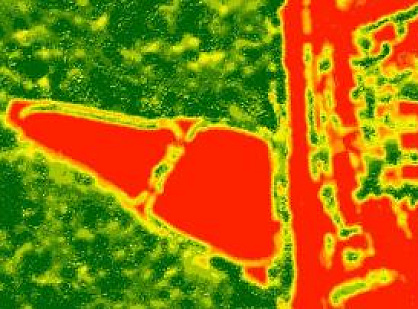
Work consisted in updating forest management materials based on remote sensing data.
| Industry | Forestry monitoring |
|---|---|
| End date | 08/18/2014 |
Work consisted in updating forest management materials based on remote sensing data.
| Industry | Forestry monitoring |
|---|---|
| End date | 08/18/2014 |
Buzuluksky Bor is a unique forest, located among the Trans-Volga steppes on the border of two climatic zones: the steppe and the forest-steppe. The national park with an area of over 1000 square kilometers was formed in 2007 and consists of 12 forest areas.
Buzuluksky Bor – a view from space (Google Earth)
Our work consisted in updating forest management materials based on remote sensing data. The main purpose of the forest taxation decoding of space and aerial photos is the recognition of which species constitute one or other forest areas, as well as the determination of quantitative taxation indicators.
More details about the results can be found in the article.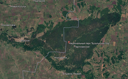
The decoding of highly detailed satellite imagery in solving forest problems has shown its high efficiency and the prospect of organizing space monitoring, allowing to implement the principle of continuous forest management with annual changes in forest accounting data.
In the future, according to the results of the carried out taxation of forests and the developed geo-information basis in the national park, the type of landscape, its aesthetic value, sanitary and hygienic assessment, biological stability, resistance to anthropogenic influences, degree of environmental digression, Recreational capacity and other tax indicators of recreational purposes, species points, viewing platforms, springs, endemic and relics should be shown marketing plants, trace excursion and tourist routes, the location of recreational facilities, road and path network, recreation facilities, etc.








Feliks Fokin

Open WeChat and scan the QR code to add the contact. On a phone, save the code and select it in the WeChat scanner.