01
About the project
| Industry | Mapping |
|---|---|
| Customer | Confidentially |
| Industry | Mapping |
|---|---|
| Customer | Confidentially |
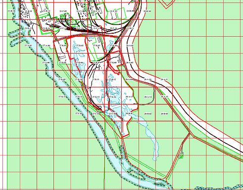
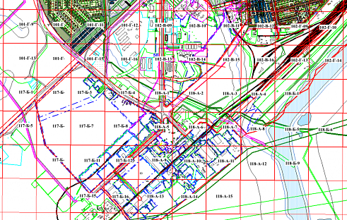
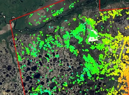
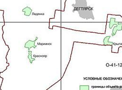
Digital topographic sheets in the conditional coordinate system (CCS-89), created in AutoCad software, totaling 762 sheets.
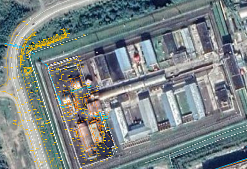
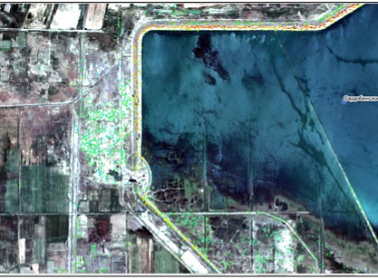
Digital raster images with georeferencing files, created in MapInfo software, totaling 117 images.
Digital layers created in MapInfo software, totaling 50 layers.
Parameters for converting from CCS-89 to MCS-89 (Zone 2).
According to the provided parameters of transition from USK-89 to MSC-89, the coordinates were recalculated in MapInfo software.
As a result of providing services to the Customer, the following materials were delivered:
Digital raster images with georeferencing files, created in MapInfo software (a set of files for each layer DAT, ID, IND, MAP, TAB), totaling 117 files.
Digital layers created in MapInfo software (a set of files for each layer DAT, ID, IND, MAP, TAB), totaling 50 files.
The main factors contributing to the success of executing such tasks are "GEO INNOTER" LTD's proprietary methodology and the professionalism of our staff.