Contact

Seismic microzonation as part of the feasibility study phase for the construction of a hydropower plant

01

About the project

GEO INNOTER LTD carried out a project on processing of radar space images for the purpose of seismic microzonation works within the framework of the investment feasibility study for construction of a hydropower facility.

End date 11/30/2021
02

Completed works

Work Stages:

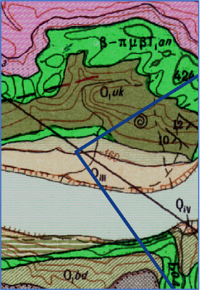
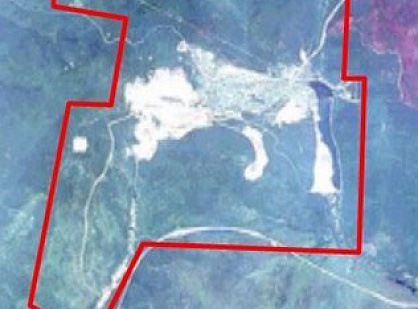
1.     First, the peculiarities of the site's location were thoroughly studied using both reference literature and various graphical materials:


Fig. Fragment of geological map

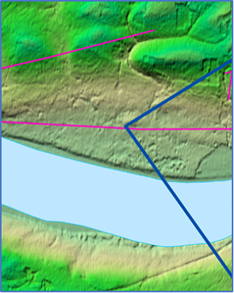
2.     Lineaments were identified.


Fig. Deciphered lineaments (fragment)

3.     Identification of fault disruptions and lineaments.


4.     A total of 48 radar images suitable for use (from the last 5 years) were analyzed, obtained from the Sentinel-1 satellite orbit. The Persistent Scatterers (PS) method was used in data processing, as this method is characterized by the highest possible accuracy in displacement estimation.


03

Result

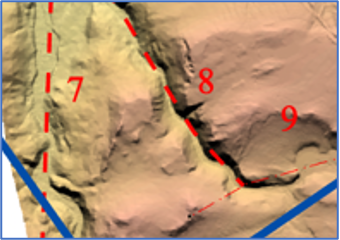
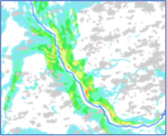
5.     As a result of interferometric processing of radar data from the Sentinel-1 satellites, final maps of annual average displacement velocities of the Earth's surface were created at a scale of 1:25,000.

Fig. Map of annual average displacement velocities of the Earth's surface (fragment)   

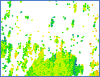
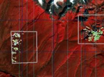
6. An assessment of the dynamics of slope processes was provided based on the displacement maps of the Earth's surface data 

Fig. Spatial distribution of persistent scatterers
relative to slope incline angles (fragment).

7. Due to the Client's requirements for result verification and increasing the accuracy of the site assessment, an additional 16 ALOS radar images were purchased and analyzed (the minimum number of ALOS radar images for interferometric analysis is 12) for an additional budget.

8. A conclusion was issued in accordance with the Technical Assignment, including conclusions about the degree of contemporary tectonic activity and characteristics of identified fault disruptions and lineaments.

9. The project was delivered to the Client in full compliance with the technical requirements and within the specified timeframe.


Need satellite imagery or help choosing the right data?

Describe your task, area of interest, and desired outcome. We will check data availability, assess new acquisition options, and propose the optimal solution in terms of timelines, cost, and quality.
clients who trust us
25+ years in the geodata market
Request a call back
Back to page top
Мы используем Яндекс.Метрика и собственные Сookies для обеспечения наилучшего опыта работы на нашем сайте, персонализации сайта для наших пользователей и аналитики. Продолжая использовать сайт вы соглашаетесь с условиями Пользовательского соглашения.