Sat-Sun: Non-working days
Project's objective
Supply of high-precision remote sensing data for the design and planning of engineering and construction works on the Central Ring Automobile Road (CRAD) in the Moscow Region.
Work description
The project included two stages.
The first stage was the analysis and selection of highly detailed space imagery at two sites of the Central Ring Automobile Road, which meets the customer’s technical requirements. According to the quality criteria (spatial resolution of 0.5 m in the nadir), images from the WorldView-2 and Pleiades 1B satellite, ready for orthorectification were best suited.
The second stage is the creation of orthophotomaps based on remote sensing data using RPC polynomials and the public digital terrain model (DTM).

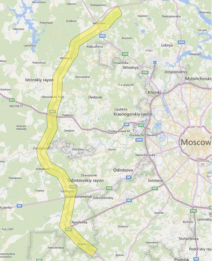
Generalized data ordering scheme for the projected line of the Central Ring Automobile Road (CRAD)

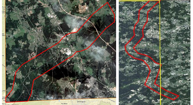
The scheme of plot 1, area – 64 sq. km; the scheme of plot 2, area – 212 sq. km.
Results
As a result of the order implementation, Innoter LLC supplied the customer with all the digital geospatial data necessary for planning the road construction.
Need for consultation?
Fill the form and we will contact you
