Sat-Sun: Non-working days
Customer
A company performing topographic, geodetic and cartographic works.
Project's objective
Receiving archival stereo and mono satellite images from the WorldView-1, Pleiades 1A / 1B, GeoEye-1 spacecrafts to the territory of Saint-Petersburg, with a resolution of 0.5 m over an area of 1371 sq. km.
Work description
According to the terms of reference, a stereo survey was ordered, placed in archives of remote sensing data received from the WorldView-1, Pleiades 1A / 1B, GeoEye-1 satellites.
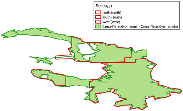
General scheme of the AOI
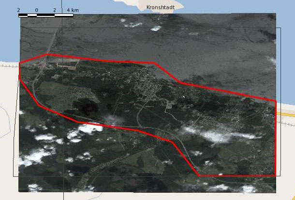
Coverage scheme of the “west” area, 108 sq. km.
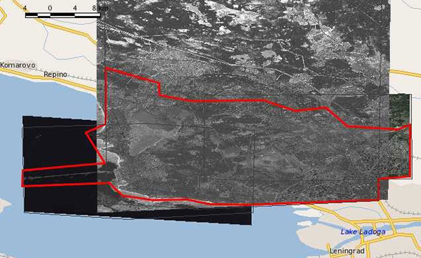
Coverage scheme of the “north” area, 390 sq. km.
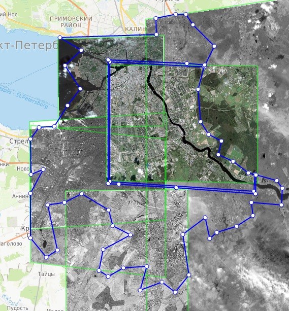
Coverage scheme of the “south” area with imagery from Pleiades, WorldView-1, GeoEye-1 satellites.
Also, in accordance with customer requirements, certain Pleiades-1A / 1B satellite images were selected for certain areas, “Primary” processing level, color version, spatial resolution 0.5m.
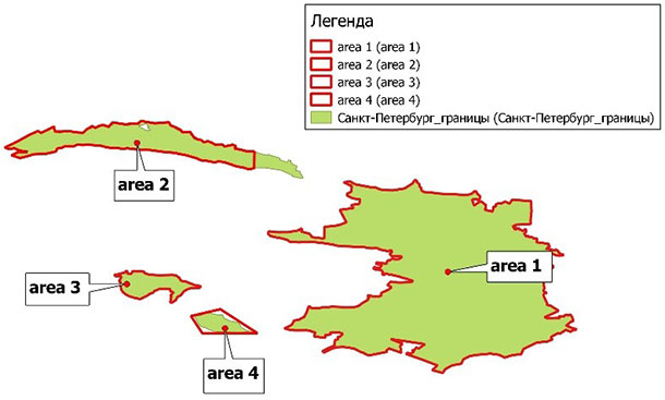
Generalized layout of areas for mono-coverage
Results
As a result of the execution of the contract, Innoter provided the customer with a significant amount of data (both stereo and mono), covering a significant part of the city of St. Petersburg. Space images were delivered on time and answered the declared quality.
Need for consultation?
Fill the form and we will contact you
