of geospatial solutions
Sat-Sun: Non-working days
Customer
Russian energy company
Project's objective
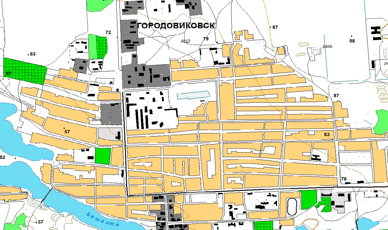
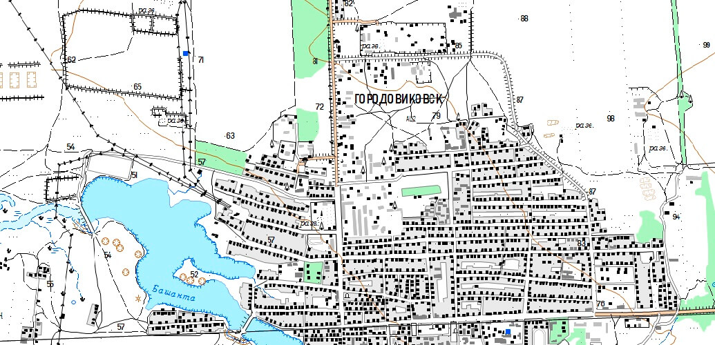
Update of digital cartographic material M 1: 25000 based on high-resolution satellite images for a gas field
Completed work
Work description
1. Preparatory work: analyzed the original cartographic materials, developed editorial and technical instructions, taking into account the characteristics of the territory of interest. Completed the incoming quality control of the original map material (DCM) according to the requirements.
2. To create an orthomosaic, we performed photogrammetric processing of digital images (orthorectification). Received images converted to orthogonal projection with automatic de-distortion.
Orthorectification was performed using an interpolated DEM, which made it possible to take into account the distortion for the relief. Performed stitching of orthorectified images and radiometric correction of images.
We created "cutlines" of the boundaries of each orthorectified image using vector polygons, which ensured topological coincidence of adjacent cutlines and the absence of "holes" in the seamless orthomosaic.
Received datasets (orthomosaics in * .tif format, ArcWorld georeference files in * tfw format) for each nomenclature sheet.
3. Updated digital topographic maps (DTM) based on Earth remote sensing data (ERS).
In the process of updating the DTM, the contour part of the map content was brought into full compliance with the orthophotomap (OFP), and the detected individual errors in the image of relief forms were eliminated.
All objects on the DTM, after comparing them with the digital ortophoto data, were conventionally divided into three groups.
a) Unchanged objects (parts of objects). Metric and semantic description of objects that have not undergone changes.
b) Appeared objects (parts of objects). The metric description of the objects that appeared on the ground was formed according to their images on the digital ortophoto.
c) Changed objects (parts of objects), including lost ones.
4. Completed the summary of vector information.
5. Conducted quality control of the updated DTMs.
6. We made the transition from the geodetic coordinate system (SK-95) to the local SK according to the specified parameters.
7. Created public maps. We have performed work to ensure that the cartographic materials do not contain information constituting a state secret or information not permitted for free publication.
8. Completed data conversion.
Results
High-resolution satellite images were used to update digital topographic maps of the DTM at a scale of 1: 25,000 in the ArcGis (*. Shp) and Panorama (*. Sxf) format in the SK-95, MSK-08 coordinate systems in electronic form. The provided products are grouped along the boundaries of the fields.
Within the specified timeframe, the customer received a technical report on the work performed on paper and in electronic form in 2 copies.Need for consultation?
Fill the form and we will contact you
Sat-Sun: Non-working days