


Contact

Ikonos satellite

Ikonos satellite
USA
Optoelectronic
VVHR < 0,49 м
Stereo
No

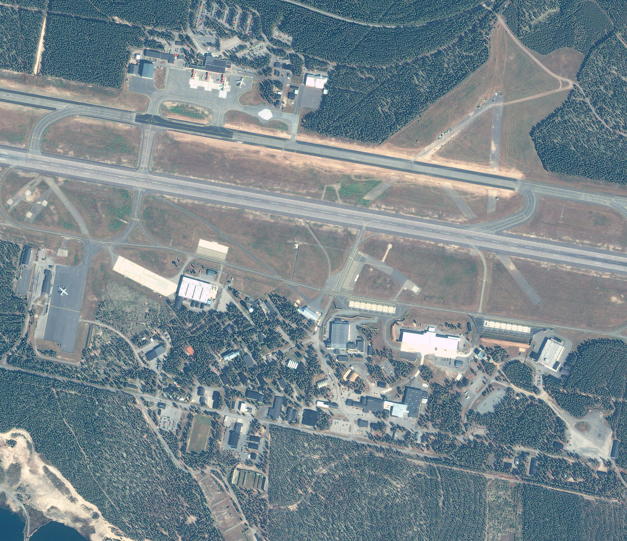
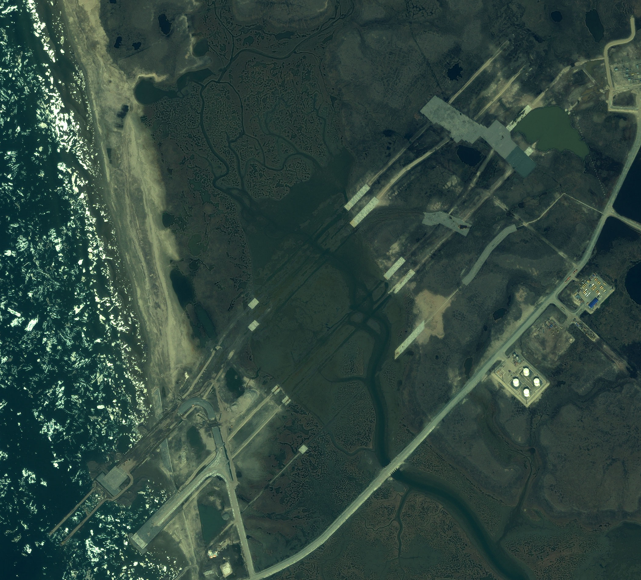
Satellite imagery samples - Ikonos satellite

The IKONOS satellite is the world’s first commercial satellite to collect panchromatic (black-and-white) images with 0,80 m resolution and multispectral imagery with 3,2-meter resolution. The satellite itself was launched on the 24th of September in 1999 from the Vandenberg Air Base, California. IKONOS imagery is being used for national security, military mapping, air and marine transportation, and by regional and local governments. From a 423-mile-high-orbit, IKONOS revisit the same location once every three days and downlinks directly to more than a dozen ground stations around the globe.

Characteristics of the space satellite

Operating country USA

Need satellite imagery or help choosing the right data?

Describe your task, area of interest, and desired outcome. We will check data availability, assess new acquisition options, and propose the optimal solution in terms of timelines, cost, and quality.
clients who trust us
25+ years in the geodata market
Request a call back
Back to page top
Мы используем Яндекс.Метрика и собственные Сookies для обеспечения наилучшего опыта работы на нашем сайте, персонализации сайта для наших пользователей и аналитики. Продолжая использовать сайт вы соглашаетесь с условиями Пользовательского соглашения.








