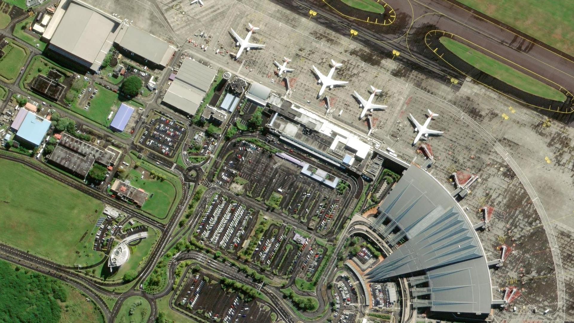
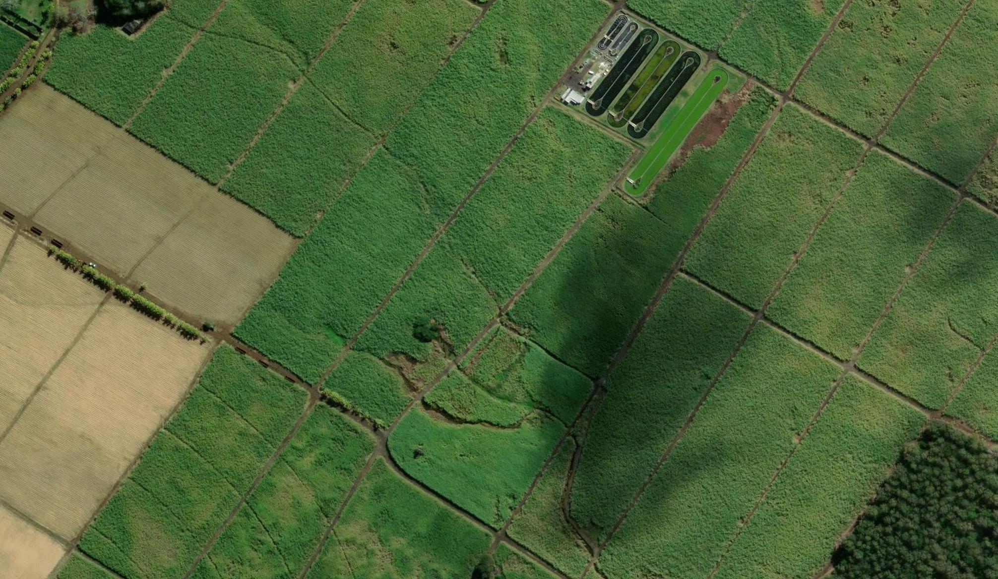
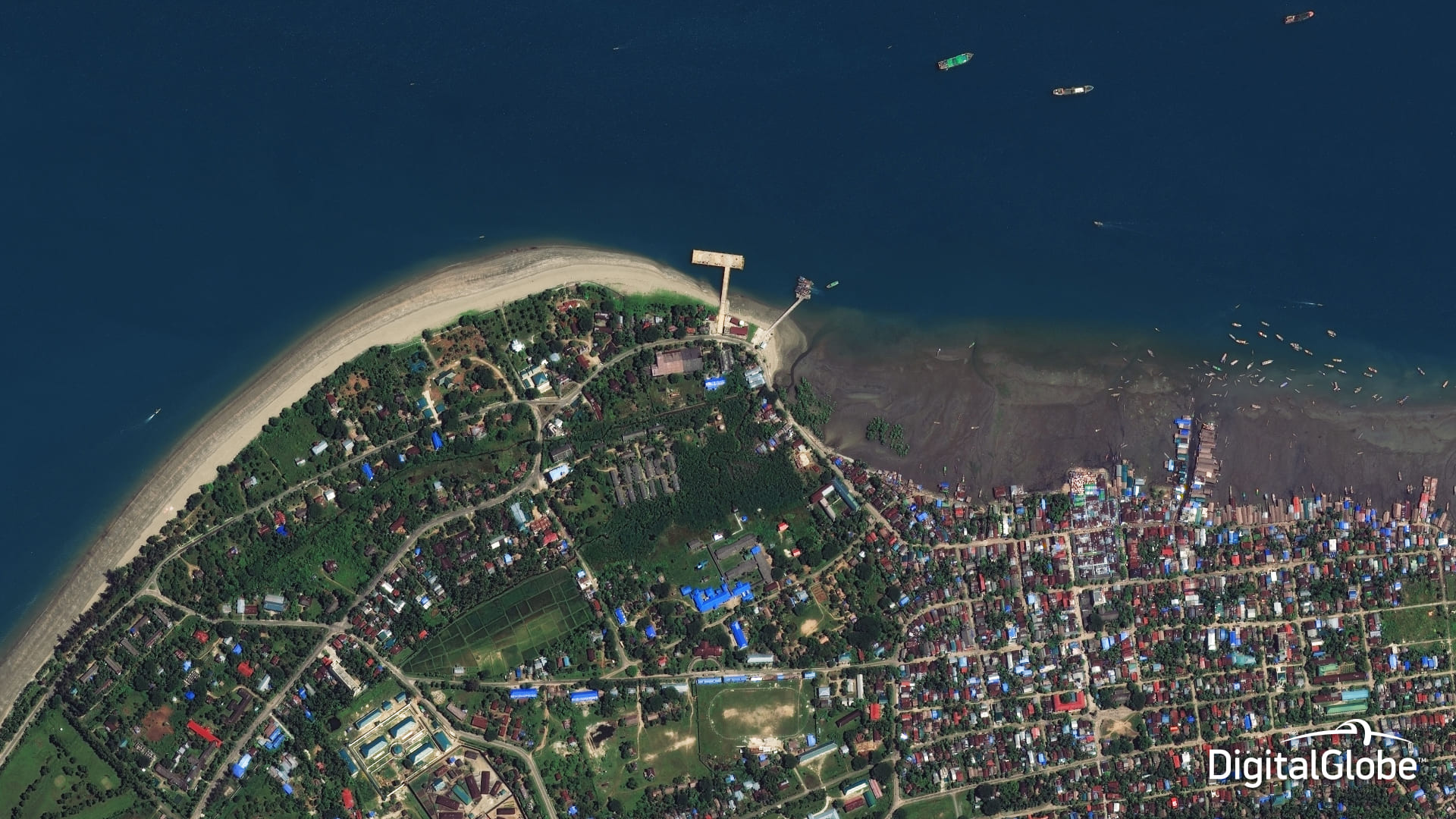
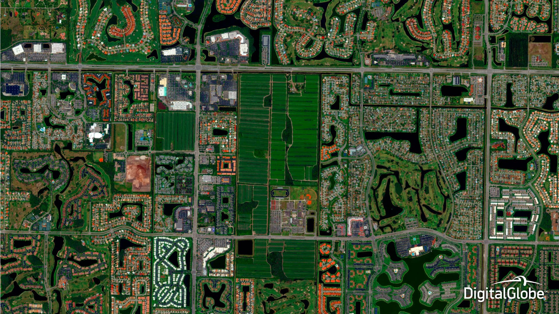
WorldView-2 satellite images

Spacecraft design and mission details
|
Name satellite |
WorldView-2 |
|---|---|
|
Country |
USA |
|
Developer |
BATC, Kodak, ITT, BAE |
|
Operator |
DigitalGlobe |
|
Launch vehicle |
Delta-7920 |
|
Launch date |
8 October 2009 |
|
Launch site |
Vandenberg Air Force Base, California |
|
Date of deactivation |
- |
|
Orbit: Type |
Sun-synchronous |
|
Mission duration, years |
10-12 |
|
Revisit frequency, days |
1,1 or less |
|
Power, W |
3200 |
|
Spacecraft dimensions, m |
5,7 × 2,5 |
|
Mass, kg |
2615 |
Specifications WorldView-2 satellite
| Sensor bands |
Panchromatic: 450–800 nm 8 Multispectral: Coastal: 400–450 nm Red: 630–690 nm Blue: 450–510 nm Red Edge: 705–745 nm Green: 510–580 nm Near-IR1: 770–895 nm Yellow: 585–625 nm Near-IR2: 860–1040 nm |
|---|---|
| Dynamic range, bits per pixel |
11 |
| Sensor resolution (at nadir), m |
PAN: 0,46 m GSD MS: 1,85 GSD |
| Swath width, km | 16,4 km at nadir |
| Attitude determination and control |
3-axis stabilized Actuators: Control Moment Gyros (CMGs) Sensors: star trackers, solid state IRU, GPS |
| Horizontal accuracy (CE90%) | <3,5 m without CE90 |
| Retargeting agility< | Time to Slew 200 km: 10 sec |
| Onboard storage | 2199 Gb solid state with EDAC |
Collection scenarios:
- Long strip: 360 × 16,4 km
- Large Area Collect: 112 × 138 km
- Multiple Point Targets: 16,4 × 16,4 km
- Stereo Area Collect: 112 × 63 km
Products
| Products | Basic | Standard | Orthorectified | CitySphere | Basic Stereo |
|---|---|---|---|---|---|
| Radiometric correction | Yes | Yes | Yes | Yes | Yes |
| Geometric correction | Yes | Yes | Yes | Yes | Yes |
| Georeferencing | Yes | Yes | - | - | - |
| Orthorectification | - | - | Yes | Yes | - |
|
Horizontal accuracy (CE90%), m |
6,5 | 6,5 |
1:50000-25,4 |
1:50000 |
6,5 |
| Vertical accuracy (LE90%), m | - | - | - | - | 6,5 |
| Spectral bands |
Panchromatic, multispectral (8 bands) or Bundle (PAN+8 bands); Natural colours: Infra-red; Synthesized (PAN+4 bands) |
||||
| Minimum order size, km2 | 230 |
Archive data – 25 |
100 | - | 210 |
| Maximum order size, km2 | 10000 | ||||
| Delivery formats | GeoTIFF 1.0, NITF 2.1 или NITF 2.0 | ||||
Main application of the WorldView-2 satellite imagery:
- Creation and update of topographic maps and plans of scales up to 1:5000;
- Creation of DTMs;
- Engineering survey for construction works of oil and gas facilities;
- Inventory of forests and forest management;
- Monitoring of the crops’ state, yield forecasting;
- Creation of maps for urban planning purposes;
- Emergency monitoring;
- Researches.
For cost calculation of the WorldView-2 imagery for your area of interest, send technical description of your proposal to: innoter@innoter.com. For consultations contact by the phone: +7 495 245-04-24