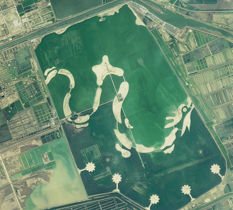
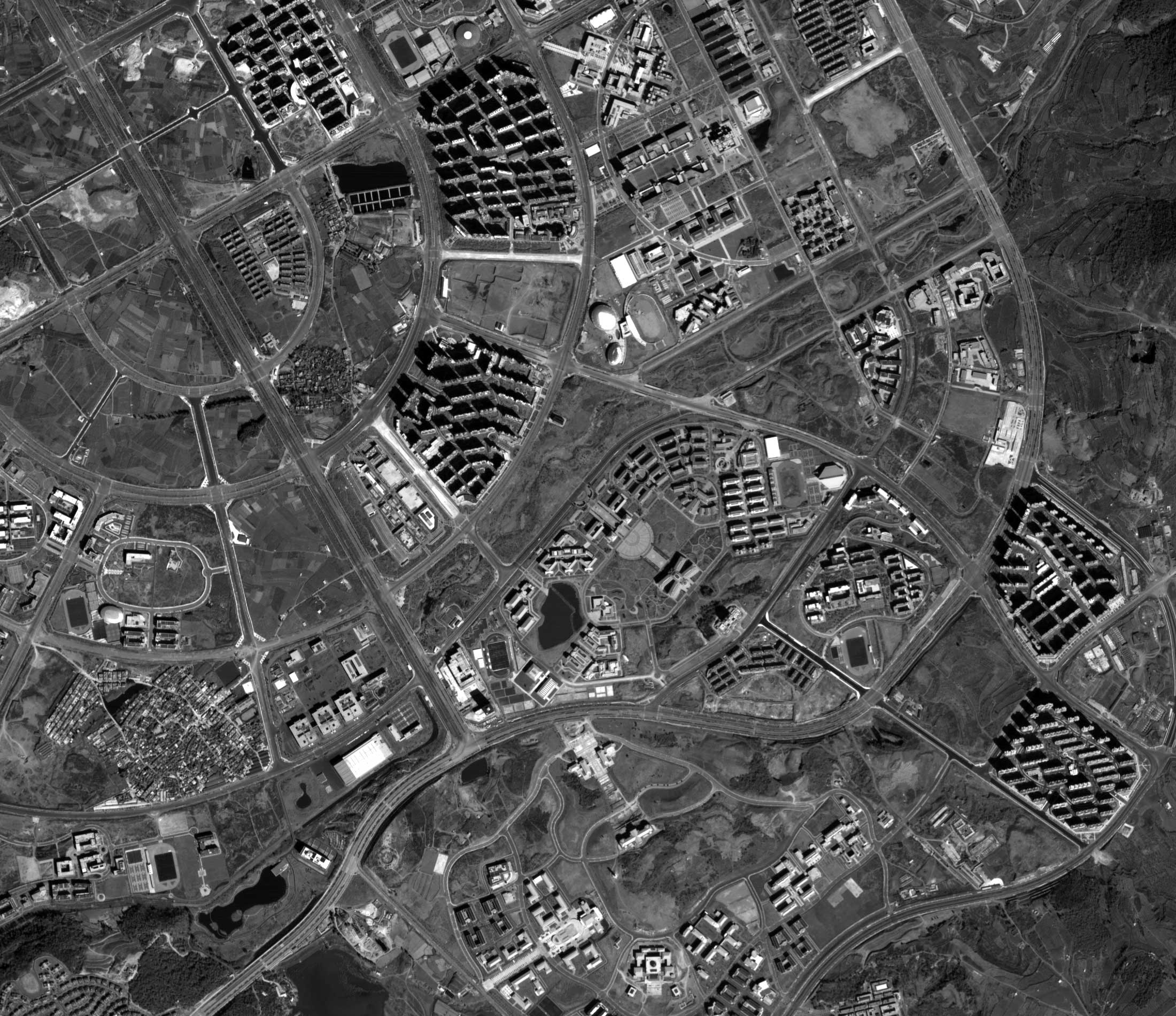
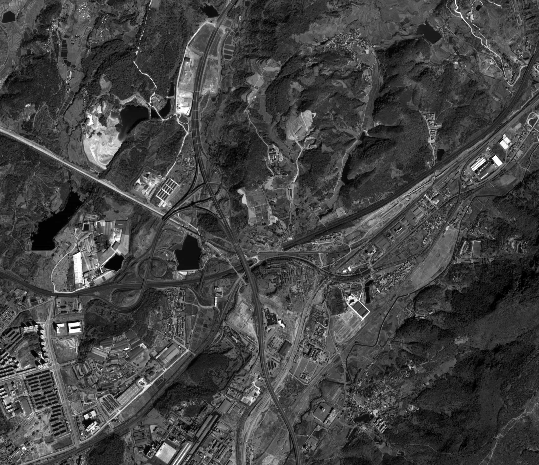
ZiYuan-3 01 (ZY-3) is the first Chinese civil commercial satellite that can provide the Earth’s stereoscopic imaging of a very high resolution. Imagery from the ZY-03 01 satellite are suitable for creating maps of 1:50000 and smaller scales.
Spacecraft design and mission details
|
Name |
ZY-3 |
|---|---|
|
Country |
China |
|
Developer |
CAST (spacecraft), CIOMP (payload) |
|
Operator |
Ministry of Land and Resources of the People's Republic of China |
|
Launch vehicle |
CZ-4B |
|
Launch date |
9 January 2012 |
|
Launch site |
Taiyuan Satellite Launch Center, China |
|
Date of deactivation |
- |
|
Orbit: Type |
Sun-synchronous |
|
Mission duration, years |
5 |
|
Revisit frequency, days |
5 |
|
Mass, kg |
2630 |
Specifications
| Sensor bands |
Panchromatic: 500–800 nm Blue: 450–520 nm Green: 520–590 nm Red: 630–690 nm Near-IR: 770–890 nm |
|---|---|
| Dynamic range, bits per pixel |
10 |
| Sensor resolution (at nadir), m |
PAN: 2,1 m (nadir); 3,5 m (Front/Rear) MS: 6 m |
| Swath width, km | 51 |
| Onboard storage | 3,75 TB |
Applications:
- Creation of topographic maps (1:50000 and smaller);
- Update of topographic maps of the 1:25000 scale;
- National security;
- Land-use management;
- Urban planning;
- Agriculture and forestry;
- Ecology;
- Emergency management.
For cost calculation of the ZiYuan-3 imagery for your area of interest, send technical description of your proposal to: innoter@innoter.com. For consultations contact by the phone: +7 495 245-04-24