



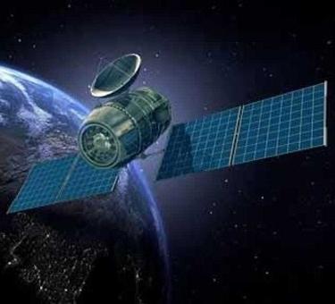


Cartosat-3 is a series of ultra-high-resolution (up to 25 cm) satellites that complement the opto-electronic intelligence and dual-purpose remote sensing satellite systems created in India, developed as a continuation of the Cartosat-2 series of Earth observation satellites. The new spacecraft have improved spatial characteristics. Shooting is performed in panchromatic, multispectral and hyperspectral modes. In 2020, it is also planned to launch two similar devices Cartosat 3A and 3B. At the moment, data from the satellite has not yet been launched for commercial use, because the satellite is still undergoing the calibration stage. However, the first images obtained are striking in their quality. On satellite images from Cartosat-3, road markings are easily discernible, you can easily distinguish a truck from a passenger car and see parts of the aircraft in detail at the airport.
Characteristics of the space satellite
| Operating country | India |
|---|








