Spacecraft design and mission details
|
Name |
Formosat-2 |
|
Country |
Taiwan |
|
Developer |
Airbus Defence and Space (ex-EADS Astrium) |
|
Operator |
NSPO (National Space Organization, Taiwan). Airbus Defense and Space own an exclusive right to supply the imagery. |
|
Launch vehicle |
Taurus XL |
|
Launch date |
21 May 2004 |
|
Launch site |
Vandenberg Air Force Base |
|
Date of deactivation |
19 August 2016 |
|
Orbit: Type Altitude, km Inclination, deg. |
Sun-synchronous 891 99,1 |
|
Mission duration, years |
12 |
|
Revisit frequency, days |
1 |
|
Mass, kg |
760 |
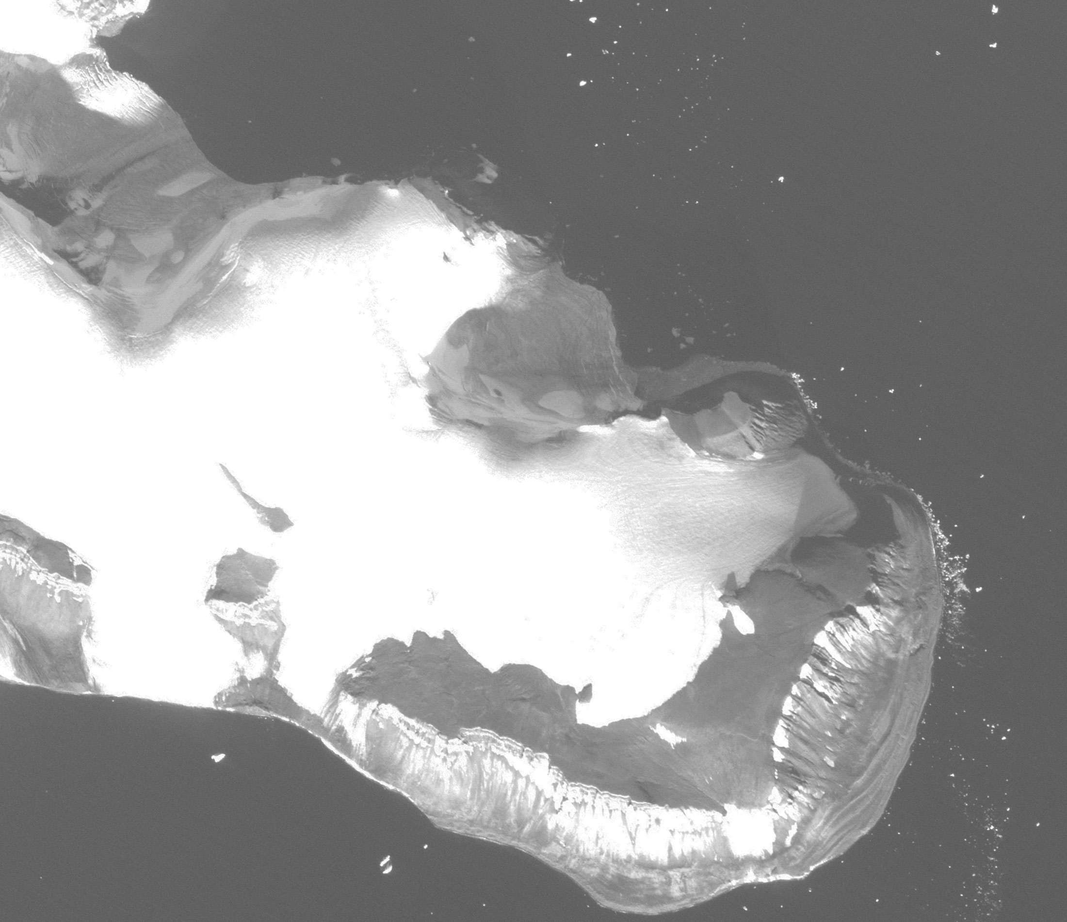
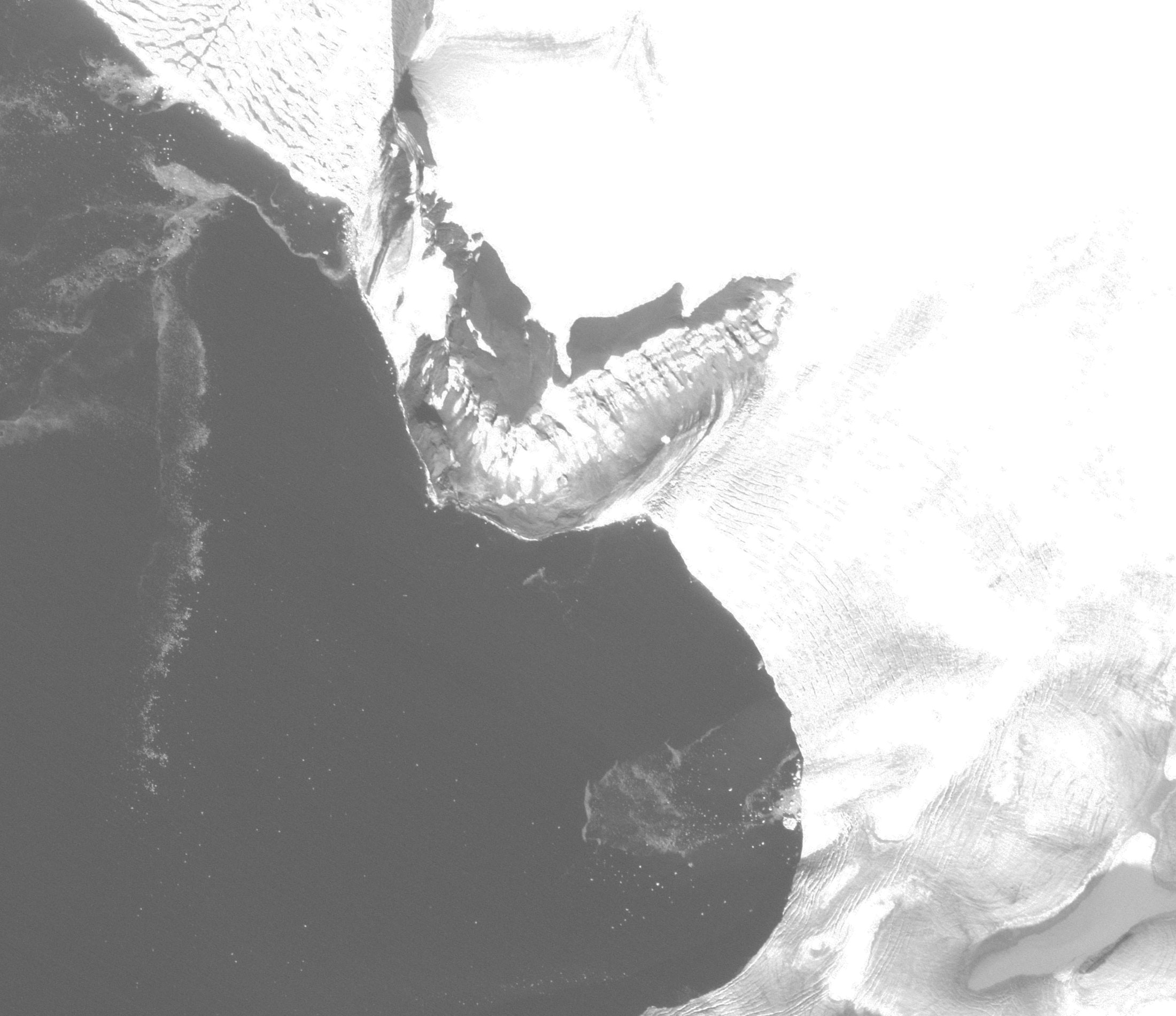
Formsat-2 is an NSPO (National Space Program Office) of Taiwan Earth imaging satellite with the objective to collect high-resolution panchromatic (2 m) and multispectral (8 m) imagery. The survey was performed with an RSI optical-electronic camera with a focal length of 2.9 m with a swath width of 24 km. The optical axis of the telescope could deviate by an angle of ± 45° along and across the orbital plane, which made it possible to obtain single-turn and inter-turn stereo pairs. The RSI camera on one turn could shoot one route 3000 km × 24 km, two stereo pairs 100 km × 24 km, four routes 100 km × 24 km or eight frames 24 km × 24 km.
Specifications
|
Sensor bands |
PAN: 0,45 – 0,90 µm Blue: 0,45 – 0,52 µm Green: 0,52 – 0,69 µm Red: 0,63 – 0,90 µm Near-IR: 0,76 – 0,90 µm |
|
Dynamic range, bits per pixel |
8 |
|
Sensor resolution (at nadir), m |
PAN: 2 MS: 8 |
|
Swath width, km |
24 |
|
Image transmission, Mbit/s |
120 |
Applications:
-
land use, land cadastre, development of GIS;
-
disaster management;
-
agriculture and forestry, assessment of areas and crop yields;
-
environmental monitoring, detection of areas of pollution, illegal building and deforestation.
For cost calculation of the Formosat-2 imagery for your area of interest, send technical description of your proposal to: innoter@innoter.com. For consultations contact by the phone: +7 495 245-04-24