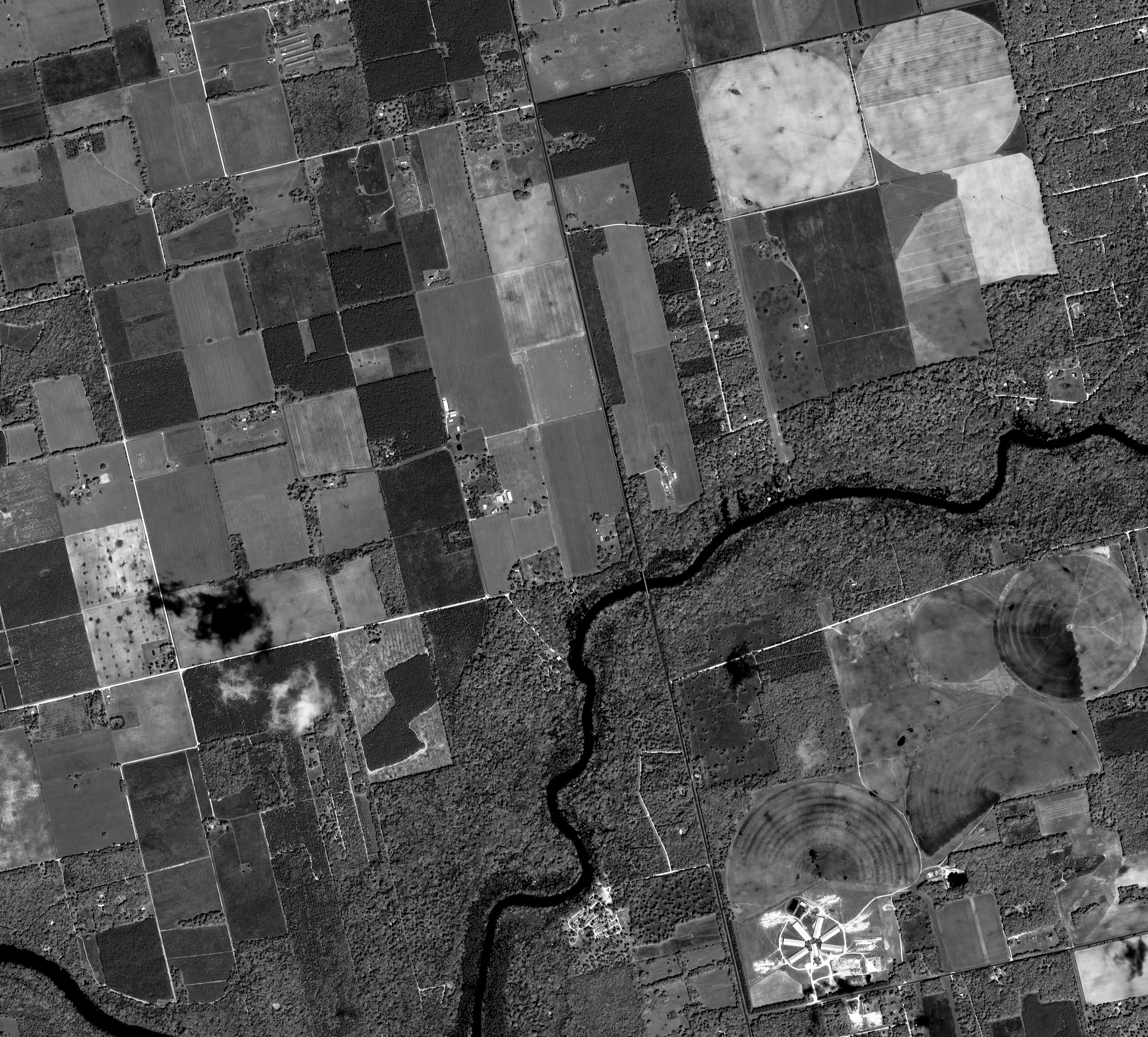
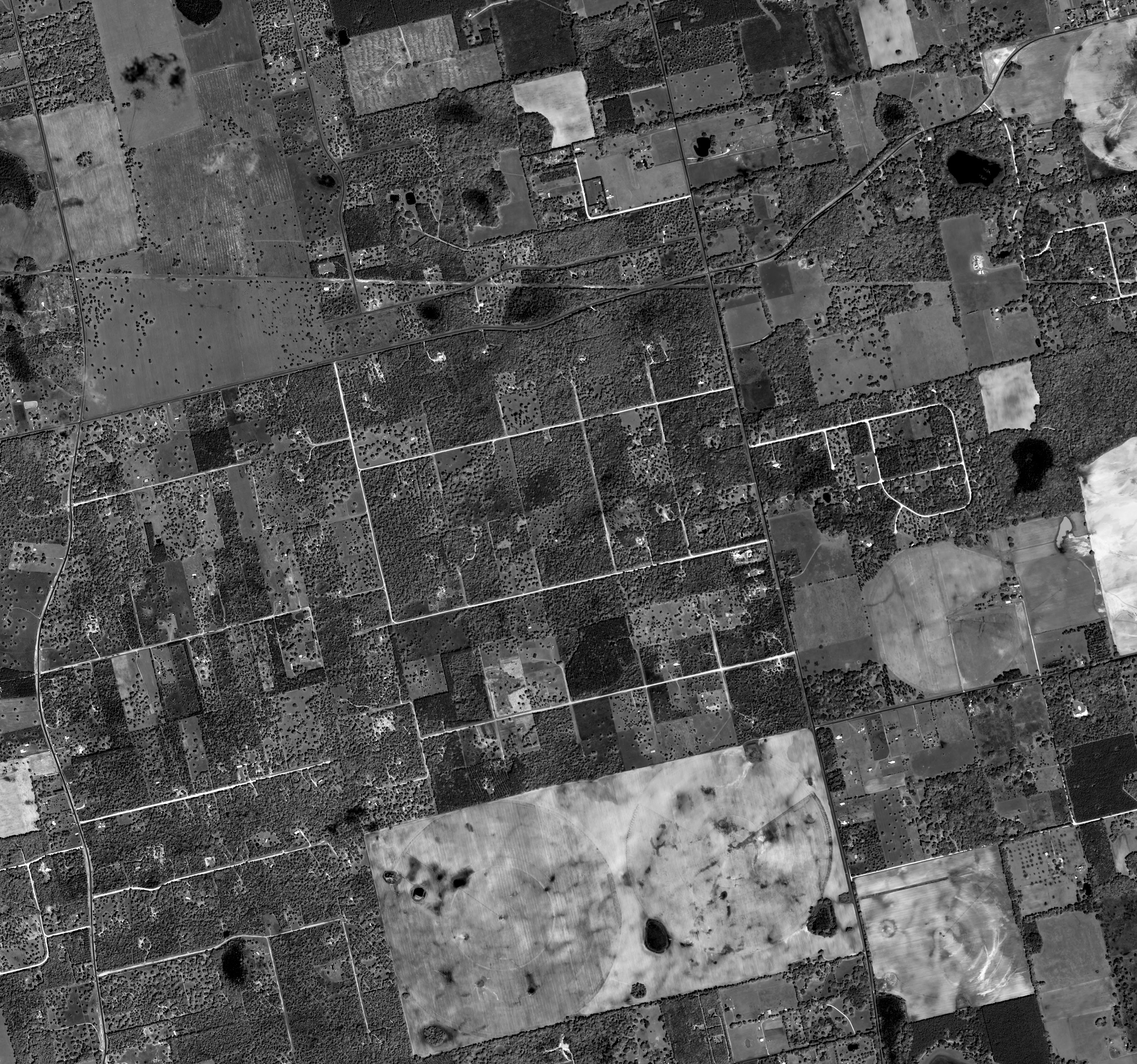
Gaofen-1 is the first high-resolution optoelectronic satellite operated by the China National Space Administration (CNSA). The satellite was launched on the 26th of April 2013 from the Jiuquan cosmodrome in north-western China. Gaofen-1 is a part of the HDEOS (High-Definition Earth Observation Satellite) program, which main goal is to provide Chinese governmental and commercial organizations with close-to-real-time imagery.
Spacecraft design and mission details
|
Name |
Gaofen-1 |
|---|---|
|
Country |
China |
|
Developer |
CAST/BISSE (China’s Academy of Space Technology/Beijing Institute of Spacecraft System Engineering) |
|
Operator |
China Center For Resources Satellite Data and Application |
|
Launch vehicle |
CZ-2D |
|
Launch date |
26 April 2013 |
|
Launch site |
Jiuquan Satellite Launch Center, China |
|
Date of deactivation |
- |
|
Orbit: Type |
Sun-synchronous |
|
Mission duration, years |
5 - 8 |
|
Revisit frequency, days |
4 |
|
Power, W |
1278 |
|
Mass, kg |
1080 |
Gaofen-1 is equipped with two 2 m panchromatic and 8 m multispectral cameras (PMC), and 4 wide field imagers (WFI) with 16 m MS medium-resolution and a combined swath of 830 km. The complete camera set of PMC and WFI (6 cameras) may observe simultaneously, or each camera set (PMC or WFI) may observe separately.
Specifications
| Sensor bands |
Panchromatic: 450–900 nm (PMC only) Blue: 450–520 nm Green: 520–590 nm Red: 630–690 nm Near-IR: 770–890 nm |
|---|---|
| Dynamic range, bits per pixel | 10 |
| Sensor resolution, m | PMC: 2 m for PAN, 8 m for MS |
| Swath width, km | PMC: 69 km, WFI: 830 km |
| Horizontal accuracy (CE90%) | 50 m without GCP |
| Onboard storage | 3,75 TB |
Applications:
- Emergency management and emergency preventing;
- Climate change monitoring;
- Environmental monitoring;
- Mapping;
- Mining exploration;
- Agricultural management.