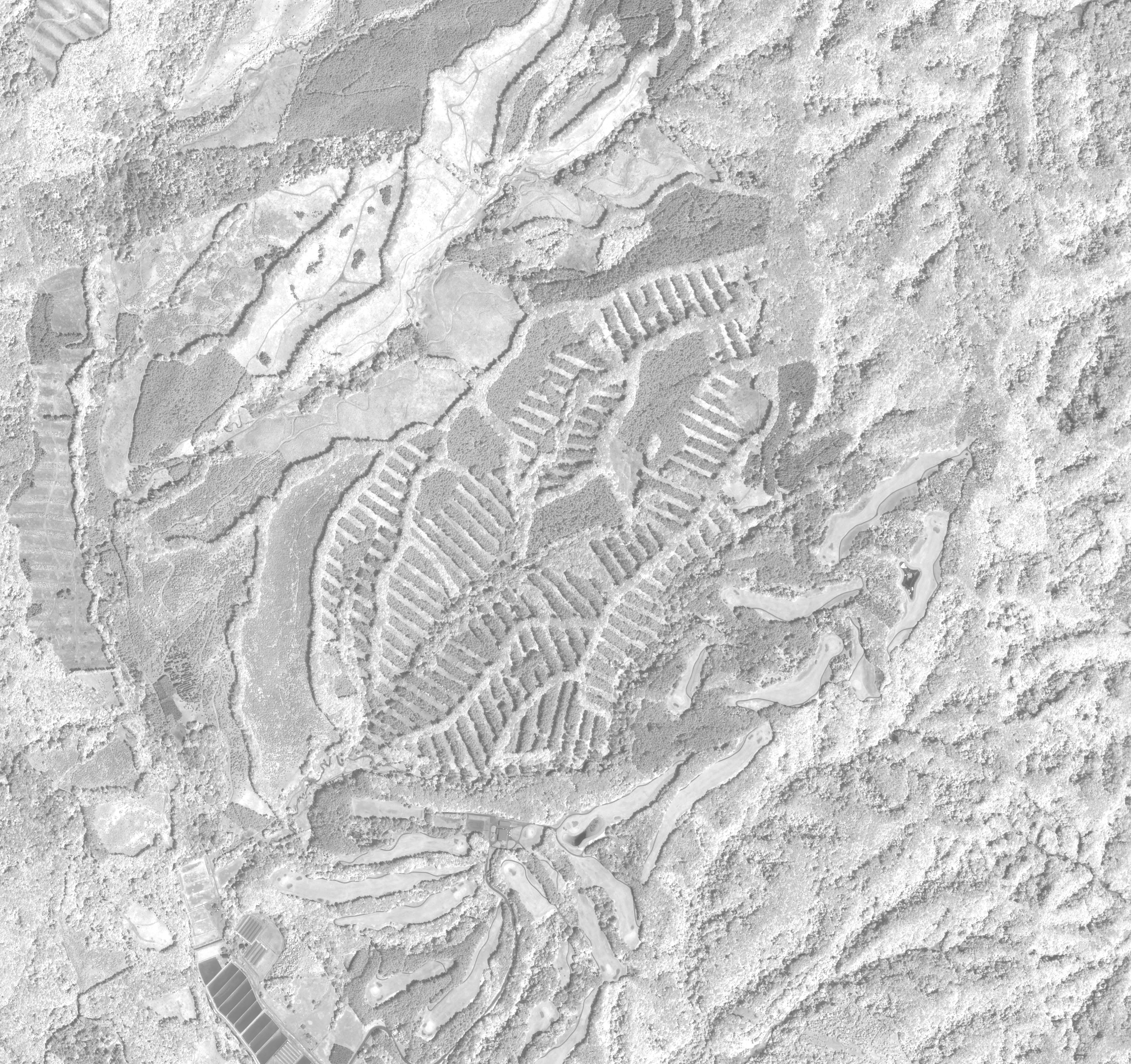
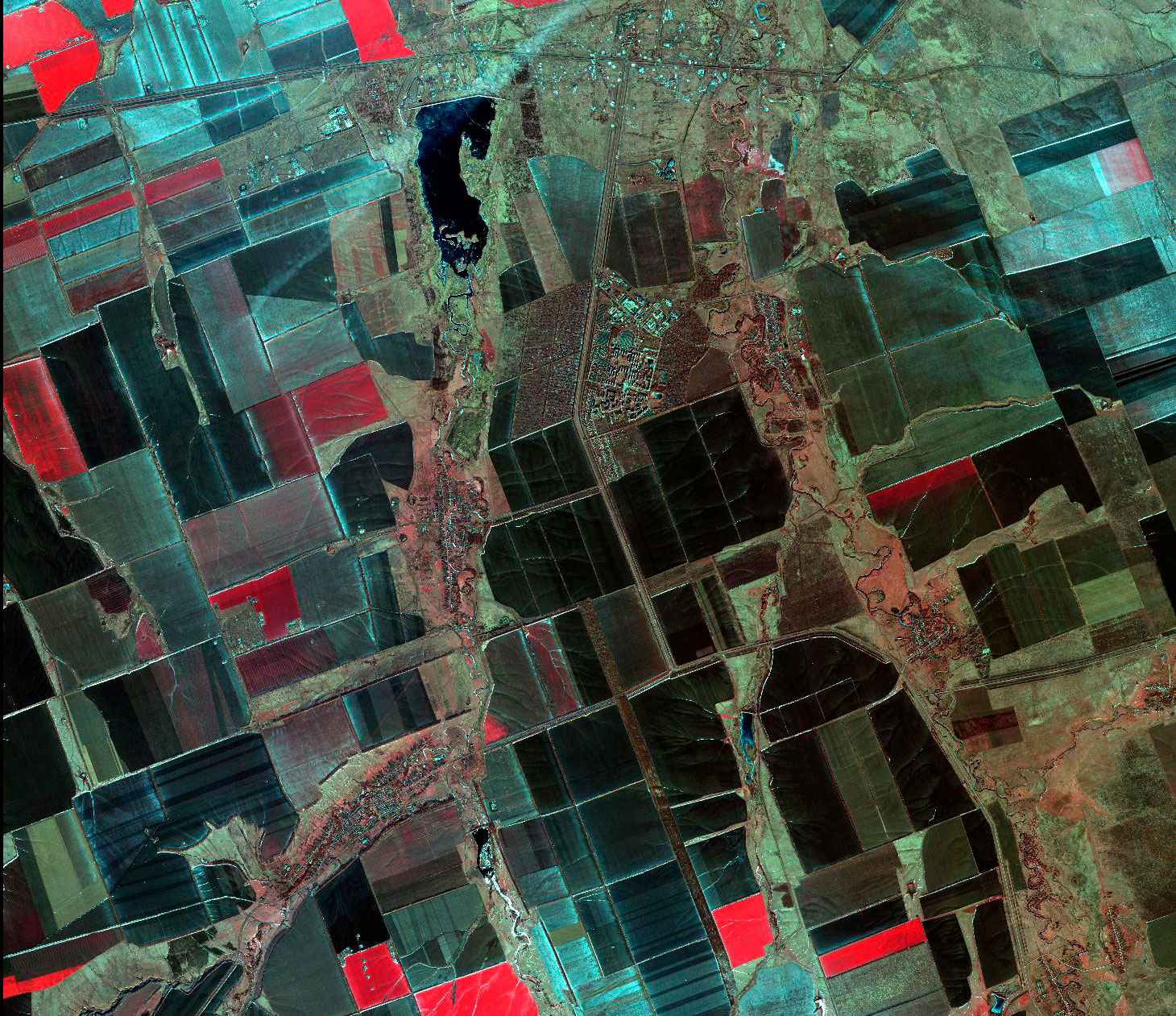
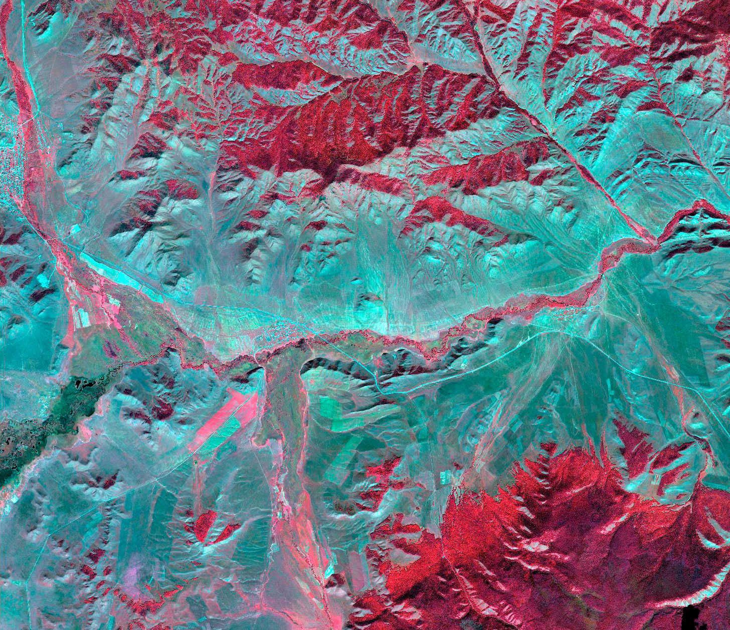
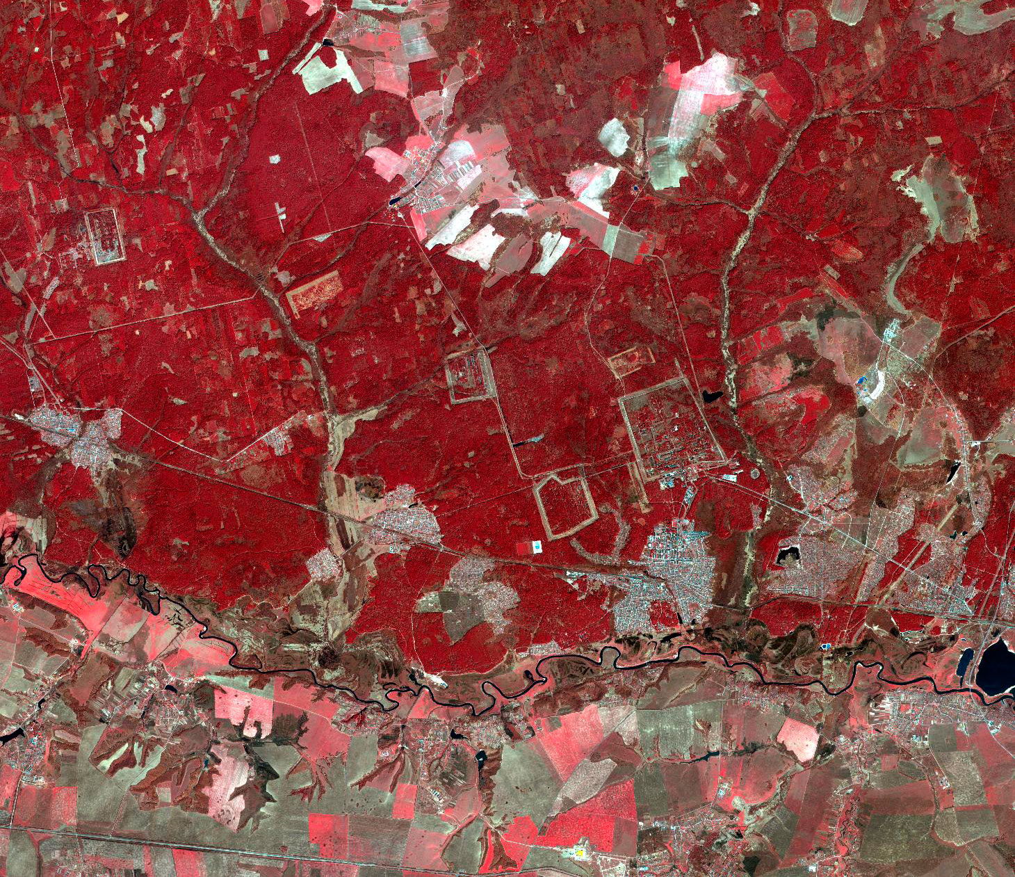
Gaofen-2 is the second satellite of the HDEOS program, which main goal is to provide Chinese governmental and commercial organizations with close-to-real-time imagery. GAofen-2 is part of the CHEOS (China High Resolution Earth Observation System) family with the objective to provide high accuracy geographical mapping, land and resource surveying, environment change monitoring, near real-time observation for disaster prevention and mitigation, as well as for agriculture and forest estimation.

Spacecraft design and mission details
|
Name |
Gaofen-2 |
|---|---|
|
Country |
China |
|
Developer |
CAST/BISSE (China's Academy of Space Technology / Beijing Institute of Spacecraft System Engineering) |
|
Operator |
China Center For Resources Satellite Data and Application (CRESDA) |
|
Launch vehicle |
CZ-4B |
|
Launch date |
19 August 2014 |
|
Date of deactivation |
- |
|
Orbit: Type |
Sun-synchronous |
|
Mission duration, years |
5 – 8 |
|
Revisit frequency, days |
5 |
|
Mass, kg |
2100 |
Gaofen-2 is equipped with 2 PAN/MS cameras, that can collect images with resolution of 0,80 m (nadir) in panchromatic and 3,24 m (nadir) in the multispectral bands on a swath of 45 km. Gaofen-2 is a follow-on mission of the Gaofen-1 technology demonstration mission, a series of high-resolution optical Earth observation satellites of CNSA.
Specifications
|
Sensor bands |
PAN: 450-890 nm Blue: 450-520 nm Green: 520-590 nm Red: 630-690 nm Near-IR: 770-890 nm |
|---|---|
|
Dynamic range, bits per pixel |
10 |
|
Sensor resolution (at nadir), m |
PMC: 0,8 m for PAN, 3,24 m for MS |
|
Swath width, km |
45 km by twin cameras (nadir) |
|
Onboard storage |
3,75 TB |
Applications:
- Emergency management and emergency preventing;
- Climate change monitoring;
- Environmental monitoring;
- Mapping;
- Mining exploration;
- Agricultural management.
For cost calculation of the Gaofen-2 imagery for your area of interest, send technical description of your proposal to: innoter@innoter.com. For consultations contact by the phone: +7 495 245-04-24