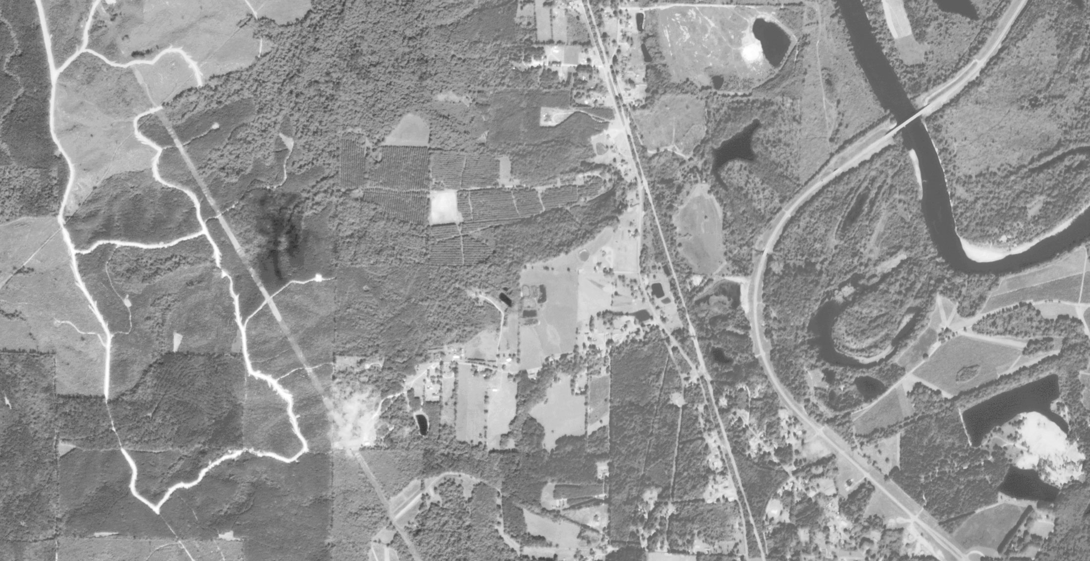
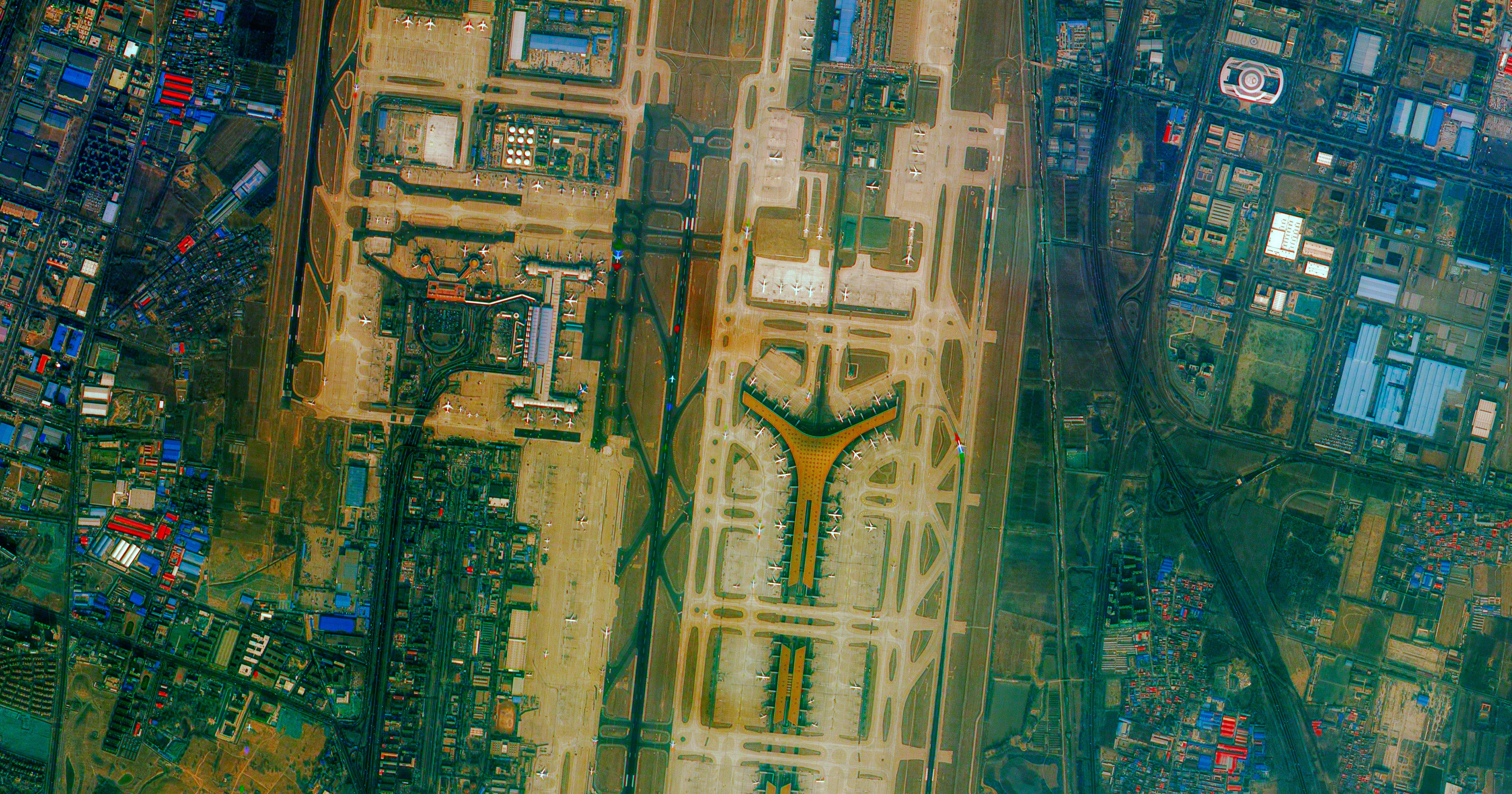
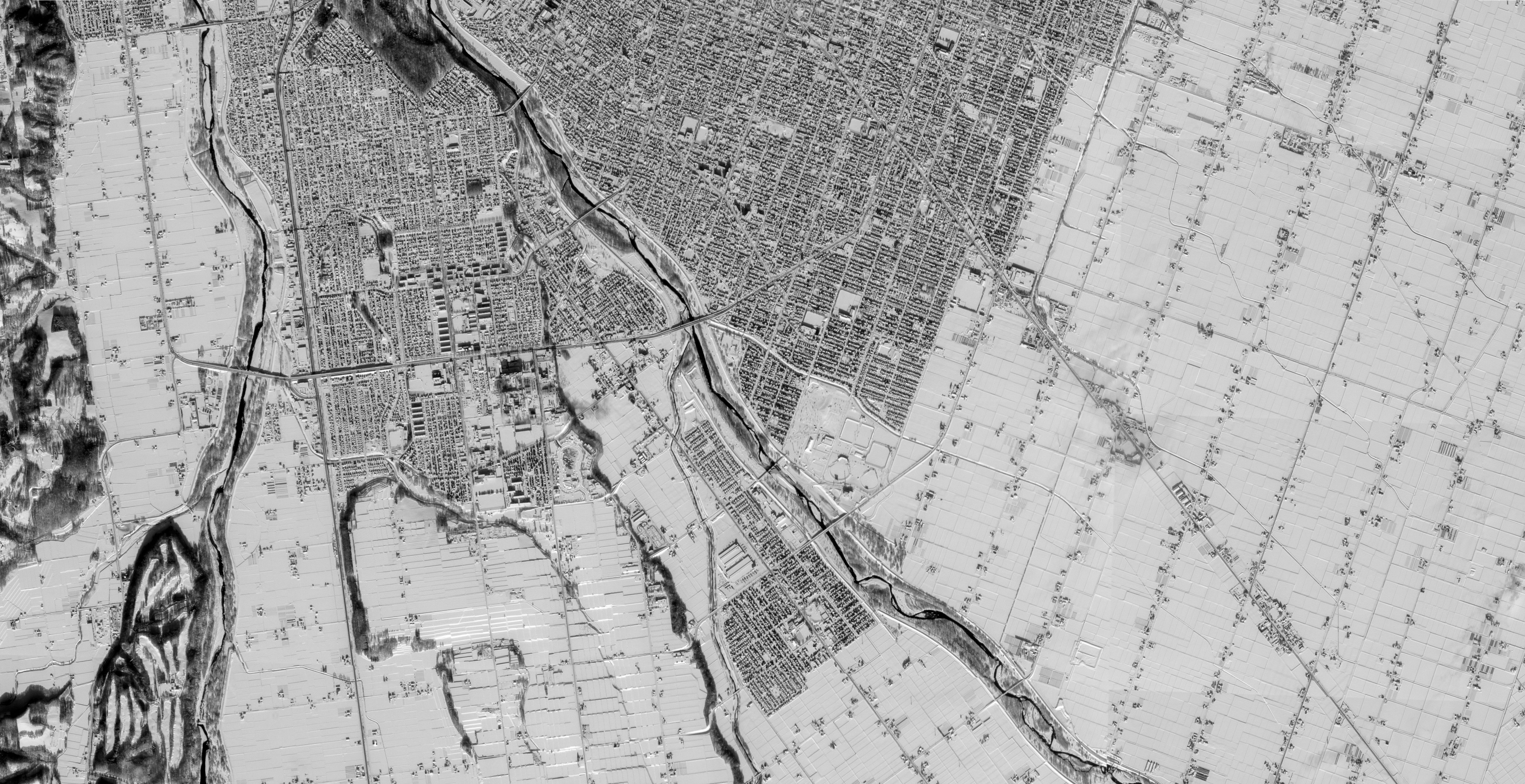
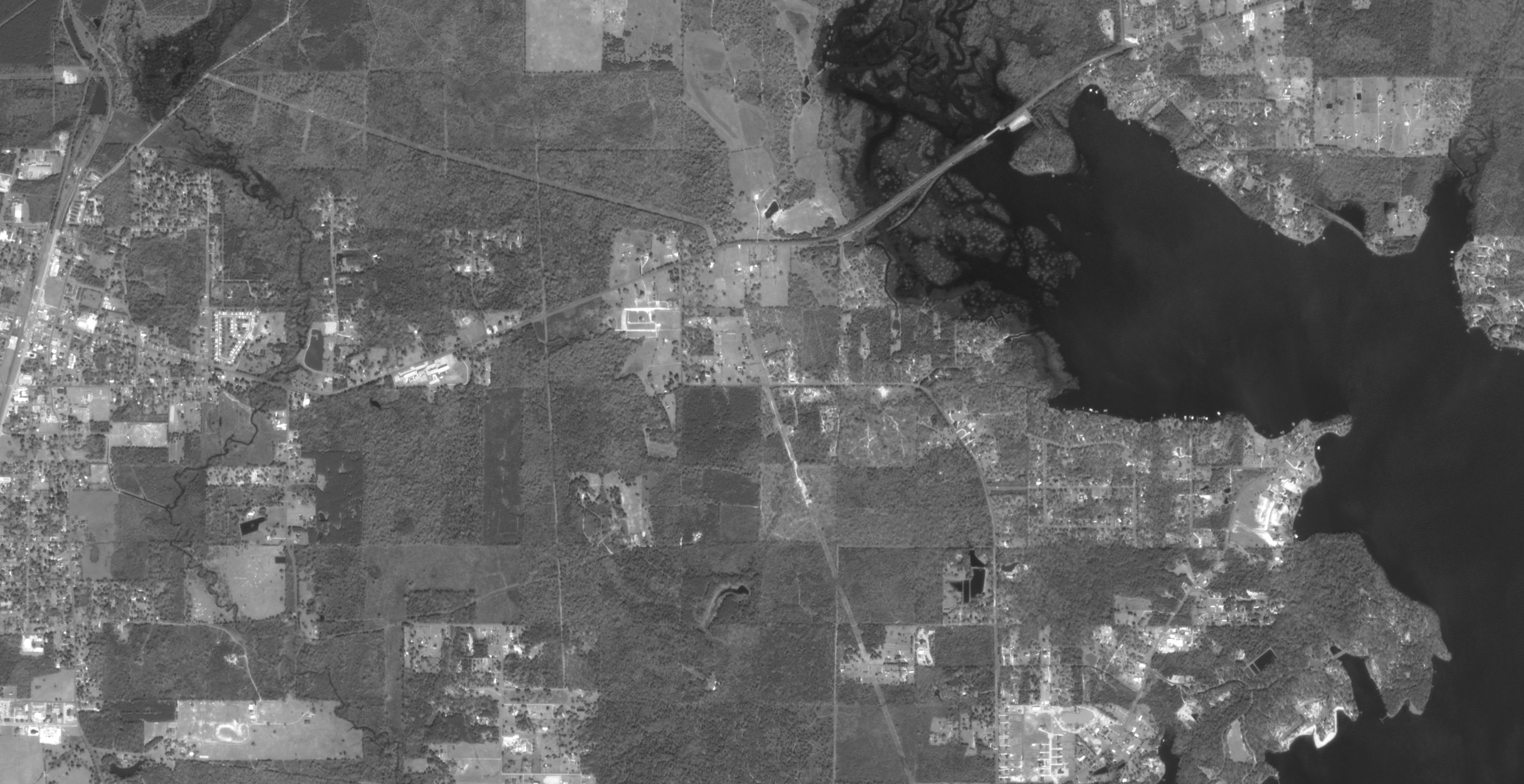
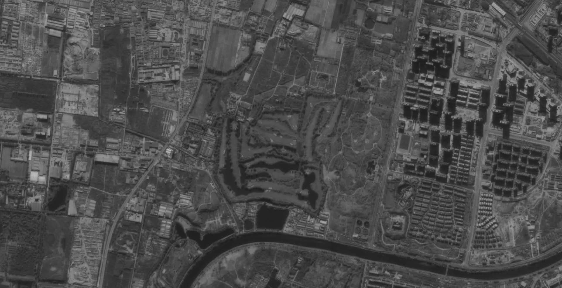
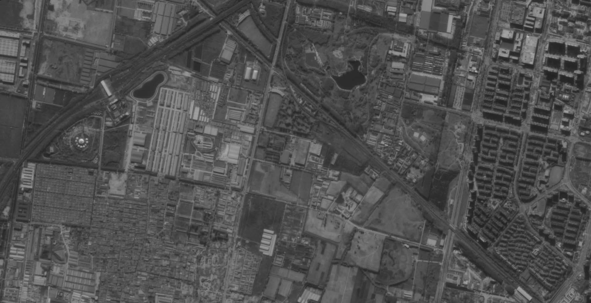
The launch of the satellite Canopus-B № 1 (a.k.a Kanopus-V) was carried out on July 22, 2012 from the Baikonur Cosmodrome. In 2017, another satellite of the series, Canopus-B-IK, was launched. On February 1, 2018, the group was enlarged with the spacecraft Canopus B № 3 and № 4, and on December 27 of the same year two new Canopus-B satellites № 5 and № 6 were successfully launched into orbit. The satellites shoot high-quality black and white and multispectral images with a spatial resolution of 2,1 meters and 10,5 meters at nadir, respectively.
The basis of the spacecraft formed long-term scientific work carried out in the institutions of Roscosmos. The satellite’s mass is only 500 kg, which allows it to be very maneuverable and quickly turn around in orbit, ensuring the fastest possible acquisition of images to various areas. The presence of two satellites in orbit will allow taking pictures on the same territory in the short term for stereo processing. A solar-synchronous circular orbit allows a satellite to pass over a given terrain at the same time with a given shooting scale. Canopus-B has an advanced satellite positioning system in orbit, which allows you to rely on good accuracy of the data.
Spacecraft design and mission details
| Name |
Canopus-B (a.k.a Kanopus-V) |
|---|---|
| Country | Russia |
| Developer | VNIIEM Corporation |
| Operator | NTs OMZ |
| Launch vehicle | Soyuz-FG |
| Launch date |
July 22, 2012 (the Canopus-B №1), 1 February 2018 (the Canopus-B №3,4), 27 December 2018 (the Canopus-B №5,6) |
| Launch site |
Baikonur Cosmodrome (Russia) (Canopus-B №1), Vostochny Cosmodrome (Russia) (Canopus-B №3,4,5,6) |
| Date of deactivation | - |
|
Orbit: Type Altitude, km Inclination, deg. |
Sun-synchronous 510 98 |
| Mission duration, years | 7 |
| Power, W | 300 |
| Spacecraft dimensions, m | 0,9 × 0,75 |
| Mass, kg | 531 |
Specifications
|
|
Panchromatic |
Multispectral |
|---|---|---|
|
Focal length, m |
1,79 | 0,36 |
| Sensor bands | PAN: 0,45 – 0,85 µm |
Blue: 0,46 – 0,52 µm Green: 0,52 – 0,60 µm Red: 0,63 – 0,69 µm Near-IR: 0,75 – 0,86 µm |
| Sensor resolution (at nadir), m | 2,1 | 10,5 |
| Swath width, km | 23 | 40 |
| Image transmission, Mbit/s | 122,88 | 122,88 |
| Onboard storage capacity, Gb | 64 | 64 |
Applications:
- Mapping;
- Highly efficient surveillance;
- Emergency Monitoring;
- Pollutant emission detection;
- Water and Agriculture monitoring;
- Land use tasks;
- Improving the analysis of drivers of land use change;
- Forest monitoring;
- Monitoring small scale changes in forest and land cover;
- Improving the analysis of drivers of land use change;
- Highly operational observation of the targeted earth surface areas.
For cost calculation of the Canopus-B imagery for your area of interest, send technical description of your proposal to: innoter@innoter.com. For consultations contact by the phone: +7 495 245-04-24